Cox Canyon Arch Primitive Campsite
Campground
Campground · < 0.1 mi from the trail
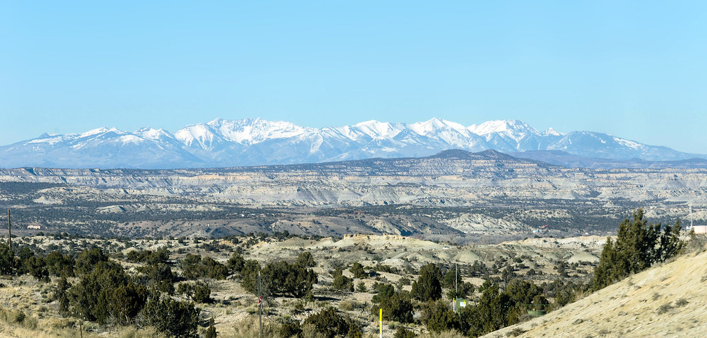
 Photo: Ekotyk, CC BY-SA 4.0 (via Wikimedia Commons)
Cox Canyon Arch Trail is a short, easy loop on Bureau of Land Management land in the Farmington Field Office, about 2.2 miles from the town of Riverside, New Mexico. The trail is 0.35 miles long, with a total elevation gain of 50 feet and a total loss of 100 feet, so it works well as a quick stop or a warm-up before heading to Cox Canyon. Spring and fall are the most comfortable times to go. Typical averages from a nearby weather station show May highs around 71°F and October highs around 64°F, while July averages climb to about 87°F. Cox Canyon, a climbing area, and the Cox Canyon Trail are both about 0.7 miles away. Tico Time Boulders, another climbing area, is about 2.6 miles off.
Cox Canyon Arch Primitive Campsite
Campground
 If it rainsJeffrey Beall, CC BY 4.0 · Wikimedia Commons
Places © OpenStreetMap contributors, Places © Overture Maps Foundation · Photos: Jeffrey Beall, CC BY 4.0 (commons)
More in DurangoNot on Roamze yet. Their page has how to reach them.
Source: Roamze catalog (indexable pages within 10 miles, PostGIS distance)
 Bloomfield TrailHiking · ~27 min drivePhoto: RuggyBearLA, CC BY-SA 2.0 (via Flickr)
 Big Canyon TrailHiking · ~28 min drivePhoto: Daniel Weber, Public Domain Dedication (CC0) (via Flickr)South Rim TrailHiking · ~29 min drivePhoto: Daniel Weber, Public Domain Dedication (CC0) (via Flickr)Skull Rock TrailHiking · ~29 min drivePhoto: Daniel Weber, Public Domain Dedication (CC0) (via Flickr)
Best months: May–June and August–September. Best months have typical highs of 55–85 °F, lows of 30 °F or warmer (32 °F where the station doesn't record snow), at most one snowy day and no more than 12 wet days.
Jan
38° / 10°
6 wet
Feb
43° / 16°
7 wet
Mar
53° / 23°
6 wet
Apr
62° / 28°
5 wet
May
71° / 35°
5 wet
Jun
83° / 43°
4 wet
Jul
87° / 52°
9 wet
Aug
84° / 51°
10 wet
Sep
77° / 43°
8 wet
Oct
64° / 31°
7 wet
Nov
51° / 21°
5 wet
Dec
39° / 13°
6 wet
Typical high / low (°F) and days with rain or snow, 1991–2020. Measured at Durango La Plata Co Ap, CO, 13.1 mi away at 6,660 ft. This station doesn't record snowfall. Source: NOAA NCEI U.S. Climate Normals 1991–2020.
Map and trail data © OpenStreetMap contributors
