Loading…

Free — you'll pick up right here.
Watch this trail
Sign up to watch it — saving subscribes you to gate, closure and report changes.
New Mexico
15.0 mi
Distance
1,903 ft
Gain
An agency closure order is in effect for this area; weather is good
2 factors · 2 sources
Newest 17 h ago · oldest 25 d
problem: Agency alerts
16 active alerts in Carson National Forest; most severe: Current Wildfire Activity
USFS25 d ago
clear: Weather
Clear, high 62°F / low 40°F, 0% precip — 98/100 for hike
OpenWeather17 h ago
Been out here in the last few days? One report keeps this current for everyone.
Why you'll love it
Cdt
AI-suggested draft · review before you go
No permit or access details on file for this trail — check with the local land manager before you go.
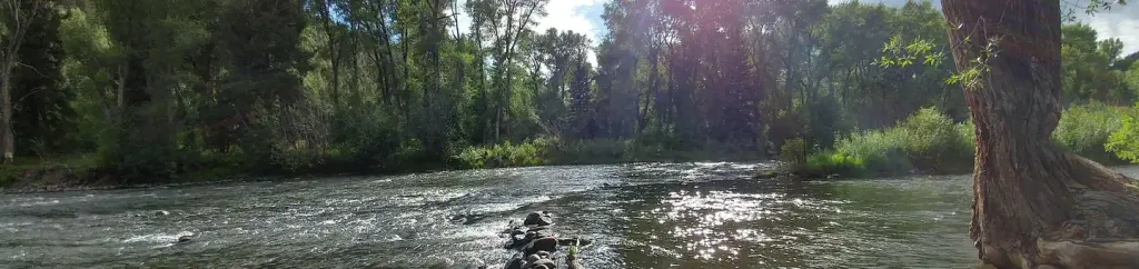
The Continental Divide Trail (CDT) section through New Mexico offers a challenging high-altitude journey along one of America's most iconic long-distance routes. This 15-mile segment traverses remote backcountry with significant elevation gain, rewarding hikers with expansive views of the Continental Divide and pristine wilderness. The trail combines rugged terrain with the solitude and accomplishment of hiking a legendary thru-hiking corridor.
Hopewell Lake Campground Road
~0 min drive
Easy campground access road walk near Hopewell Lake.
Tusas Loop
~21 min drive
Remote 24-mile high-elevation loop in the Tusas Mountains with 1,270 ft gain.
Vega Paz
~23 min drive
Easy 1.26-mile walk with minimal elevation gain near Vega Paz.
Red Lake Cut-Off
~49 min drive
5.2 mi · Moderate
Cdt
~0 min drive
Short CDT segment with high desert views and minimal elevation gain.
Yeso
~41 min drive
12.29-mile moderate hike through New Mexico's Yeso region with gentle elevation gain.
Hidden Lake
~18 min drive
Easy 2.43-mile hike to a scenic mountain lake with 355 ft elevation gain.
Spring Creek Road
~1 min drive
Quick, easy walk on Spring Creek Road with minimal elevation change.
Chama River
~50 min drive
9.8 mi · Hard
Us 64
~1 min drive
Quick, easy sub-mile walk along US 64 corridor.