Bloomfield to Rock Garden Trail
- 0.5 mi
- round trip
- 134 ft
- climb
- 5,749 ft
- high point
- Out and back
- route
- Mar–May, Sep–Oct
- best months
Bloomfield to Rock Garden Trail is a short, easy out-and-back hike on Bureau of Land Management land in the Farmington Field Office of New Mexico, about 0.46 miles from the town of Bloomfield. The trail begins and ends at a high point of 5,749 feet and reaches a low of 5,645 feet along the way, with a total climb of 134 feet and a steepest section of about 8% at roughly 0.4 miles in. Spring and fall are the most comfortable times to go. Typical averages from a nearby weather station show May highs around 78°F and October highs around 71°F, while July highs reach about 92°F. The trip takes about half an hour, so it works well as a quick stop before or after exploring other trails. Bloomfield River Trail is about 3.6 miles away, Bloomfield Trail about 3.8 miles, Tent Rocks Trail about 5.2 miles and Flat Top Trail about 7.3 miles.
Local outfitters
- HTR Resorts39 mi away
- Alpen Rose RV Park43 mi away
Not on Roamze yet. Their page has how to reach them.
- Bloomfield River TrailHiking3.6 mi
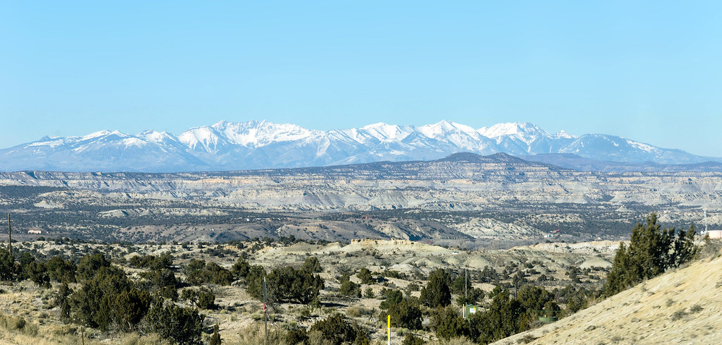 Bloomfield TrailHikingPhoto: RuggyBearLA, CC BY-SA 2.0 (via Flickr)3.8 mi
- Tent Rocks TrailHiking5.2 mi
- Flat Top TrailHiking7.3 mi
Source: Roamze catalog (indexable pages within 10 miles, PostGIS distance)
- Bloomfield TrailHiking · ~7 min drivePhoto: RuggyBearLA, CC BY-SA 2.0 (via Flickr)
 Animas River TrailHiking · ~22 min drivePhoto: Timthefinn at English Wikipedia, Public domain (via Wikimedia Commons)
- Alien RunHiking · ~18 min drive
- Tent Rocks TrailHiking · ~9 min drive
- Animas River TrailHiking · ~23 min drivePhoto: Timthefinn at English Wikipedia, Public domain (via Wikimedia Commons)
- Sherrif's Posse Equestrian TrailHiking · ~20 min drive
- Caballo Canyon TrailHiking · ~18 min drive
- Bloomfield to Rock Garden TrailHiking · ~1 min drive
- Lake view high pointHiking · ~22 min drive
- Farmington Lake Loop TrailHiking · ~18 min drive
Best time to visit Bloomfield to Rock Garden Trail
Best months: March–May and September–October. Best months have typical highs of 55–85 °F, lows of 30 °F or warmer (32 °F where the station doesn't record snow), at most one snowy day and no more than 12 wet days.
Jan
43° / 21°
4 wet · 2 snow
Feb
50° / 25°
4 wet · 1 snow
Mar
61° / 31°
3 wet
Apr
69° / 37°
3 wet
May
78° / 46°
2 wet
Jun
89° / 56°
2 wet
Jul
92° / 62°
3 wet
Aug
90° / 60°
4 wet
Sep
83° / 52°
4 wet
Oct
71° / 40°
4 wet
Nov
56° / 29°
3 wet · 1 snow
Dec
44° / 21°
4 wet · 1 snow
Typical high / low (°F) and days with rain or snow, 1991–2020. Measured at Bloomfield 3 Se, NM, 4.8 mi away at 5,806 ft. Source: NOAA NCEI U.S. Climate Normals 1991–2020.

Map and trail data © OpenStreetMap contributors
