Benson Ridge
- 4.6 mi
- round trip
- 827 ft
- climb
- 9,466 ft
- high point
- Out and back
- route
- May–Jun, Sep–Oct
- best months
Caution at last check
Agency alerts are in effect for this area; weather is good · USFS, OpenWeather · checked 13 h ago
Is Benson Ridge open right now?
Alert in the area
The Forest Service lists 6 alerts for Lincoln National Forest.
Order# 03-08-26-002: Temporary Road Closure
Agency alert covering Lincoln National Forest · Order 03-08-26-002 · USFS · Lincoln National Forest
Current Fire Restrictions and Related Prohibitions
Agency alert covering Lincoln National Forest · USFS · Lincoln National Forest
Order# 03-08-02-26-001: Bluff Springs Temporary Closure on Sacramento Ranger District
Agency alert covering Sacramento Ranger District · Order 03-08-02-26-001 · USFS · Sacramento Ranger District
Order# 03-08-02-25-001: Sacramento Ranger District Area/ Dispersed Camping and Motor Vehicle Use
Agency alert covering Sacramento Ranger District · Order 03-08-02-25-001 · USFS · Sacramento Ranger District
InciWeb - for current incidents
Agency alert covering Lincoln National Forest · USFS · Lincoln National Forest
As of · Source: USFS · Lincoln National Forest. Agencies don't list every closure — check before you go.
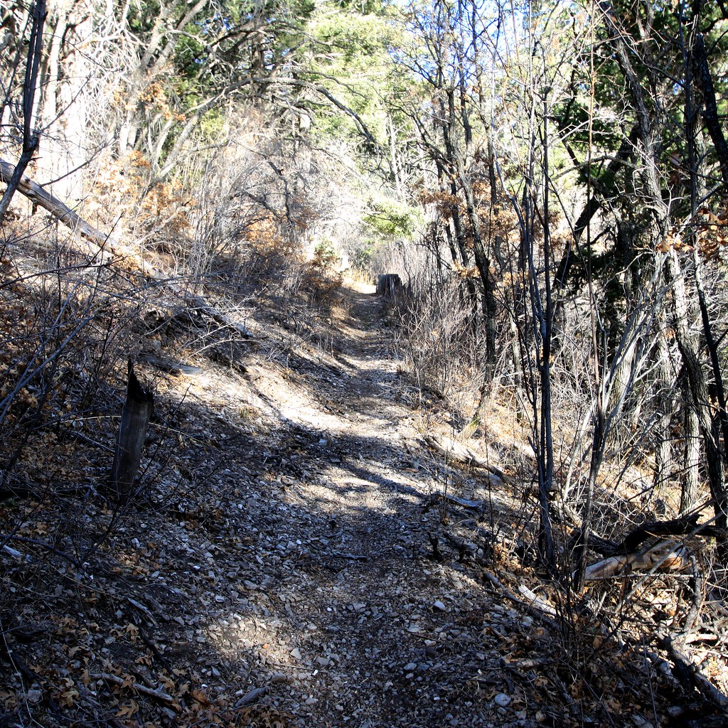
Benson Ridge is a 4.6-mile out-and-back hike on natural surface in the Sacramento Ranger District of Lincoln National Forest in New Mexico. The trail runs from a low point of 8,625 feet to a high of 9,466 feet, with an elevation gain of 827 feet, and is rated moderate. The route is open year-round, and the Forest Service manages the land. Bikes and horses are both allowed, which makes it a versatile option for riders and pack animals alike. Spring and fall are the most comfortable times to go. Typical averages from the nearby Cloudcroft weather station, which sits at a similar elevation, show October highs around 60°F and May highs around 66°F. The station is a few hundred feet lower, so temperatures on the ridge run slightly cooler. Several other trails lie close by. Schofield is half a mile away, and Lucas Canyon Trail (251) and Shortcut are each about 0.7 miles off. For an overnight stay, Slide campground is about 6 miles away.
- SchofieldHiking0.5 mi
- Lucas Canyon Trail (251)Hiking0.7 mi
- ShortcutHiking0.7 mi
- SlideCamping6.2 mi
- AspenCamping6.3 mi
- Black Bear GcCamping6.3 mi
 The TunnelRock climbingPhoto: Romtomtom, CC BY 2.0 (via Flickr)8.5 mi
- Shady SideRock climbingPhoto: Romtomtom, CC BY 2.0 (via Flickr)8.6 mi
Source: Roamze catalog (indexable pages within 10 miles, PostGIS distance)
 SunspotHiking · ~8 min drivePhoto: uıɐɾ ʞ ʇɐɯɐs, CC BY-SA 2.0 (via Flickr)
 Road CanyonHiking · ~9 min drivePhoto: uıɐɾ ʞ ʇɐɯɐs, CC BY-SA 2.0 (via Flickr)
- Rim TrailHiking · ~10 min drivePhoto: uıɐɾ ʞ ʇɐɯɐs, CC BY-SA 2.0 (via Flickr)
- Willie WhiteHiking · ~5 min drive
- Rim TrailHiking · ~9 min drivePhoto: uıɐɾ ʞ ʇɐɯɐs, CC BY-SA 2.0 (via Flickr)
- SchofieldHiking · Next door
- Dark Canyon Trail (5700)Hiking · ~6 min drive
- Apache Point Observatory RoadHiking · ~9 min drivePhoto: uıɐɾ ʞ ʇɐɯɐs, CC BY-SA 2.0 (via Flickr)
- Taylor CynHiking · ~3 min drive
- Benson CynHiking · ~6 min drive
Best time to visit Benson Ridge
Best months: May–June and September–October. Best months have typical highs of 55–85 °F, lows of 30 °F or warmer (32 °F where the station doesn't record snow), at most one snowy day and no more than 12 wet days.
Jan
42° / 19°
6 wet
Feb
45° / 22°
6 wet
Mar
51° / 26°
6 wet
Apr
58° / 31°
4 wet
May
66° / 38°
5 wet
Jun
74° / 45°
9 wet
Jul
72° / 48°
16 wet
Aug
71° / 47°
16 wet
Sep
67° / 42°
10 wet
Oct
60° / 34°
6 wet
Nov
51° / 26°
5 wet
Dec
43° / 19°
6 wet
Typical high / low (°F) and days with rain or snow, 1991–2020. Measured at Cloudcroft, NM, 7.4 mi away at 8,679 ft. The station sits about 800 ft lower than this place, so expect it a little cooler here. This station doesn't record snowfall. Source: NOAA NCEI U.S. Climate Normals 1991–2020.
