Woodland Trail
- 2.6 mi
- one way
- 294 ft
- climb
- 706 ft
- high point
- Point to point
- route
- Apr–Jun, Aug–Oct
- best months
Clear today
Weather is good · OpenWeather · checked 10 h ago
Woodland Trail is a 2.6-mile point-to-point hike in New Jersey, about 0.8 miles from North Haledon. It is an easy route with a total elevation gain of 294 feet, and the climb reaches a high point of 706 feet. The trail starts at about 607 feet and ends lower, with a total descent of 528 feet, so the one-way gain is the figure to note. The steepest stretch comes at about 2.1 miles, where the grade reaches 13 percent. Horses are not allowed on this trail. For comfortable weather, aim for late spring or early fall. Typical averages from a nearby weather station in Little Falls show May highs around 73°F and September highs around 76°F, while July averages about 87°F. The trail sits close to several other routes. Ovelook Trail and Junkyard Loop are each about 0.3 miles away, and Summit Trail is about 0.6 miles off. Climbers can find the Rocky Hollow Area at Garret Mountain about 3.7 miles away.
Local outfitters
- Pier 13 Hoboken17 mi away
Not on Roamze yet. Their page has how to reach them.
- Ovelook TrailHiking0.3 mi
- Junkyard LoopHiking0.3 mi
- Summit TrailHiking0.6 mi
- Rocky Hollow Area at Garret MountainRock climbing3.7 mi
- Garrett MountainRock climbing3.8 mi
- Entrance BouldersRock climbing4.2 mi
- Wanaque RiverCanoeing8 mi
- Ramapo RiverRiver fishing9.5 mi
Source: Roamze catalog (indexable pages within 10 miles, PostGIS distance)
 Wolf LoopHiking · ~2 min drivePhoto: daveclausen, CC BY 2.0 (via Flickr)
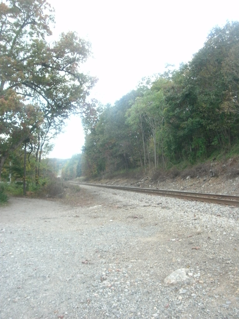 Hoeferlin Memorial TrailHiking · ~10 min drivePhoto: Roadgeek Adam, CC BY-SA 2.0 (via Flickr)
 Brookside Trail WhiteHiking · ~2 min drivePhoto: akasped, CC BY 2.0 (via Flickr)
- Beech Mountain-Clove TrailHiking · ~4 min drive
- Space MountainHiking · ~2 min drivePhoto: daveclausen, CC BY 2.0 (via Flickr)
- White TrailHiking · ~6 min drive
- Indians LoopHiking · ~2 min drivePhoto: akasped, CC BY 2.0 (via Flickr)
- South Ridge TrailHiking · ~10 min drive
- Summit-Glen Place LinkHiking · ~2 min drivePhoto: akasped, CC BY 2.0 (via Flickr)
- Pool Hollow TrailHiking · ~11 min drive
Best time to visit Woodland Trail
Best months: April–June and August–October. Best months have typical highs of 55–85 °F, lows of 30 °F or warmer (32 °F where the station doesn't record snow), at most one snowy day and no more than 12 wet days.
Jan
39° / 22°
Feb
41° / 23°
Mar
50° / 31°
Apr
63° / 40°
May
73° / 51°
Jun
82° / 60°
Jul
87° / 65°
Aug
84° / 64°
Sep
76° / 56°
Oct
65° / 44°
Nov
54° / 35°
Dec
44° / 27°
Typical high / low (°F) and days with rain or snow, 1991–2020. Measured at Little Falls, NJ, 4.8 mi away at 150 ft. The station sits about 600 ft lower than this place, so expect it a little cooler here. This station doesn't record snowfall. Source: NOAA NCEI U.S. Climate Normals 1991–2020.

Map and trail data © OpenStreetMap contributors
