West Brook
- 0.3 mi
- one way
- 45 ft
- climb
- 630 ft
- high point
- Point to point
- route
- Apr–Oct
- best months
West Brook is a short, easy hike in New Jersey, about 1.8 miles from the town of Stonetown. The route is a point-to-point walk of roughly 0.3 miles, with a low point of 556 feet and a high of 630 feet. The climb is flat overall, with a total gain of 45 feet and a brief stretch of about 4% grade near the 0.18-mile mark. Late spring and early fall are the most comfortable times to go. Typical averages from a nearby weather station at Wanaque Raymond Dam show May highs around 71°F and September highs around 76°F, with July peaking near 84°F. That station sits about 385 feet lower than the trail, so temperatures on the high ground run a little cooler. The hike takes about half an hour. The Manaticut-Sonoma Trail Connector lies just 0.3 miles away, and the Manaticut Trail and Overlook Rock Trail are each about 0.6 miles off. Climbers can head to Stonetown Boulders, about 0.9 miles away.
Local outfitters
- Pier 13 Hoboken28 mi away
Not on Roamze yet. Their page has how to reach them.
- Manaticut-Sonoma Trail ConnectorHiking0.3 mi
- Overlook Rock TrailHiking0.6 mi
- Manaticut TrailHiking0.6 mi
- Stonetown BouldersRock climbing0.9 mi
- Monksville ReservoirLake fishing3.2 mi
- Wanaque RiverCanoeing3.8 mi
- QuarantineRock climbing6.1 mi
- Sector 2Rock climbing6.1 mi
Source: Roamze catalog (indexable pages within 10 miles, PostGIS distance)
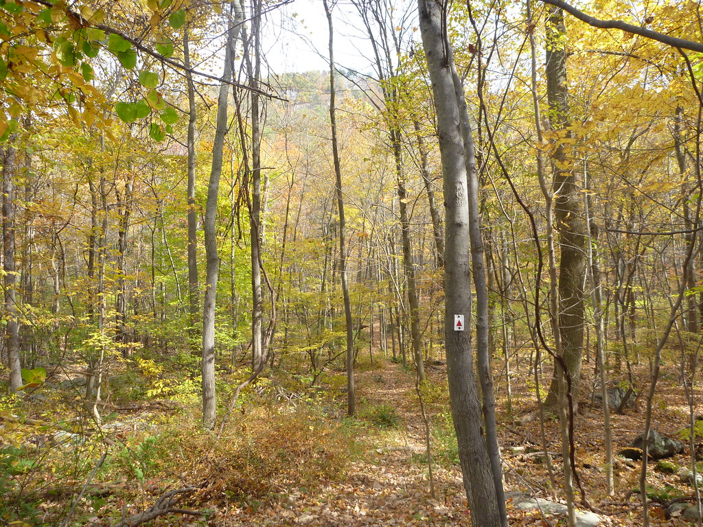 Manaticut Spur TrailHiking · ~2 min drivePhoto: daveclausen, CC BY 2.0 (via Flickr)
 Wyanokie Circular Loop TrailHiking · ~4 min drivePhoto: syvwlch, CC BY 2.0 (via Flickr)
- Stonetown Circular TrailHiking · ~3 min drivePhoto: daveclausen, CC BY 2.0 (via Flickr)
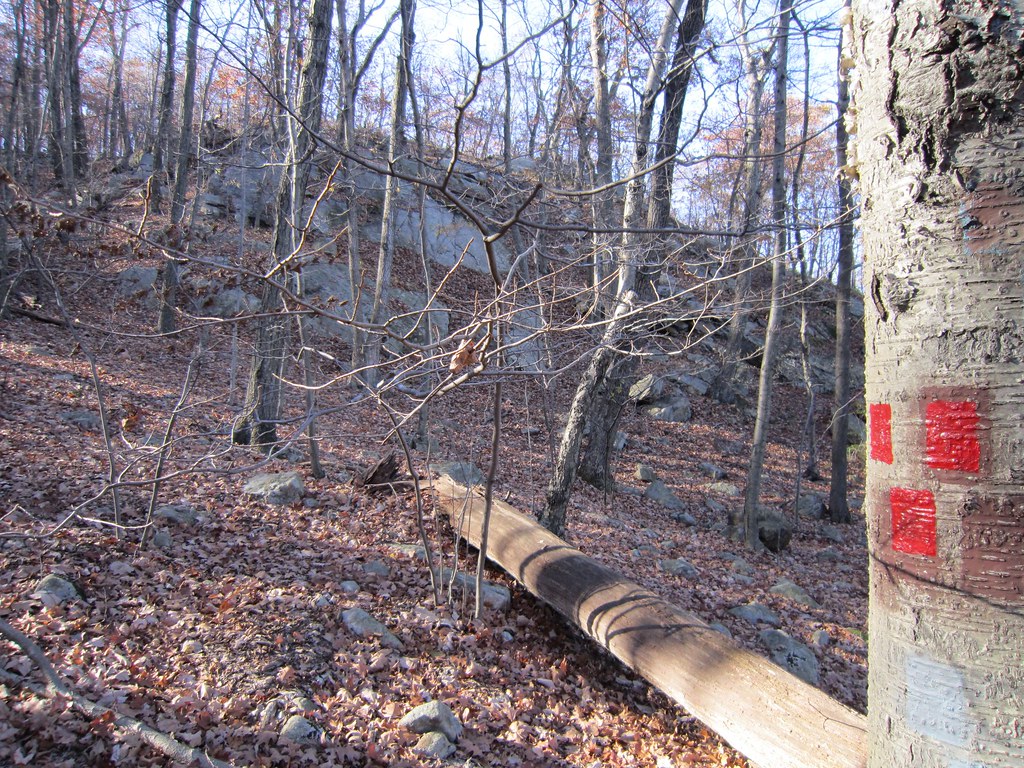 Torne TrailHiking · ~5 min drivePhoto: syvwlch — CC BY 2.0 (via Flickr)
- Wyanokie Crest TrailHiking · ~4 min drivePhoto: syvwlch, CC BY 2.0 (via Flickr)
- Hewitt-Butler TrailHiking · ~5 min drivePhoto: syvwlch, CC BY 2.0 (via Flickr)
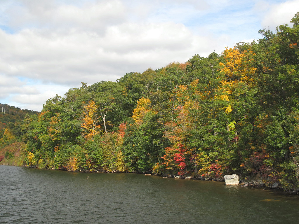 HT Connector TrailHiking · ~5 min drivePhoto: LukeGordon1, CC BY 2.0 (via Flickr)
- Echo Lake EastHiking · ~6 min drive
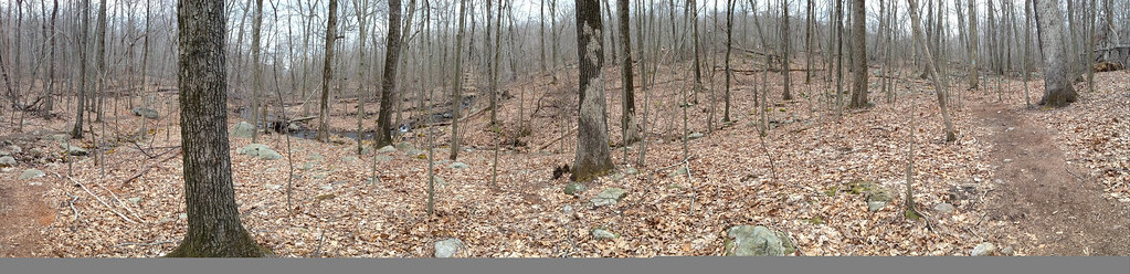 Carris Hill Connector TrailHiking · ~5 min drivePhoto: _strata_, CC BY 2.0 (via Flickr)
- Monks TrailHiking · ~6 min drive
Best time to visit West Brook
Best months: April–October. Best months have typical highs of 55–85 °F, lows of 30 °F or warmer (32 °F where the station doesn't record snow), at most one snowy day and no more than 12 wet days.
Jan
38° / 20°
10 wet
Feb
40° / 20°
8 wet
Mar
48° / 29°
10 wet
Apr
59° / 39°
11 wet
May
71° / 50°
12 wet
Jun
79° / 58°
11 wet
Jul
84° / 64°
10 wet
Aug
83° / 63°
10 wet
Sep
76° / 56°
8 wet
Oct
64° / 43°
9 wet
Nov
53° / 35°
8 wet
Dec
43° / 27°
9 wet
Typical high / low (°F) and days with rain or snow, 1991–2020. Measured at Wanaque Raymond Dam, NJ, 3.8 mi away at 245 ft. This station doesn't record snowfall. Source: NOAA NCEI U.S. Climate Normals 1991–2020.
Map and trail data © OpenStreetMap contributors
