Unpaved Trail
- 0.4 mi
- round trip
- 22 ft
- climb
- 70 ft
- high point
- Out and back
- route
- Apr, Jun
- best months
Clear at last check
Weather is good · OpenWeather · checked 18 h ago
The Unpaved Trail is a short, easy walk in Sunnyside Recreation Area on county land in New Jersey, about 0.4 miles long and roughly half a mile round trip. The path is nearly flat, with only a small elevation change of about 22 feet over its out-and-back route. It starts near 68 feet and reaches a high point of 70 feet, with the steepest stretch at about 0.18 miles, a 2% grade. The trail is open to both horses and bikes, so it works for riders and pack animals as well as hikers. Plan on about half an hour for the trip. Late spring and early fall are the most comfortable times to go. Typical averages from the nearby Freehold-Marlboro weather station put May highs around 72°F and September highs around 78°F, with July peaking near 86°F. Other trails sit close by. Thompson Loop is about 1.4 miles away, Woodland Trail about 1.6 miles, and Wanderer and Track Loop each about 1.7 miles.
Local outfitters
- Pier 13 Hoboken28 mi away
Not on Roamze yet. Their page has how to reach them.
- Thompson LoopHiking1.4 mi
- Woodland TrailHiking1.6 mi
 WandererHikingPhoto: James Loesch, CC BY 2.0 (via Flickr)1.7 mi
- Track LoopHikingPhoto: James Loesch, CC BY 2.0 (via Flickr)1.7 mi
- Marlu LoopHikingPhoto: James Loesch, CC BY 2.0 (via Flickr)1.7 mi
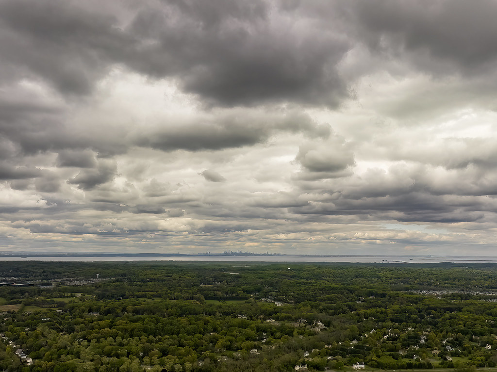 Paved TrailHikingPhoto: James Loesch, CC BY 2.0 (via Flickr)1.8 mi
- Reservoir LoopHikingPhoto: James Loesch, CC BY 2.0 (via Flickr)1.8 mi
 Camp Gateway - Sandy HookSurf fishing9.8 mi
Source: Roamze catalog (indexable pages within 10 miles, PostGIS distance)
- WandererHiking · ~3 min drivePhoto: James Loesch, CC BY 2.0 (via Flickr)
- Reservoir LoopHiking · ~3 min drivePhoto: James Loesch, CC BY 2.0 (via Flickr)
- Henry Hudson TrailHiking · ~11 min drive
- Track LoopHiking · ~3 min drivePhoto: James Loesch, CC BY 2.0 (via Flickr)
- Steeplechase TrailHiking · ~4 min drive
- Marlu LoopHiking · ~3 min drivePhoto: James Loesch, CC BY 2.0 (via Flickr)
- Ramanessin TrailHiking · ~5 min drive
- Paved TrailHiking · ~3 min drivePhoto: James Loesch, CC BY 2.0 (via Flickr)
 Egret PathHiking · ~6 min drivePhoto: johnrudolphmueller, CC BY 2.0 (via Flickr)
 Many Log RunHiking · ~9 min drivePhoto: febb, CC BY-SA 3.0 (via Wikimedia Commons)
Best time to visit Unpaved Trail
Best months: April, June and August–November. Best months have typical highs of 55–85 °F, lows of 30 °F or warmer (32 °F where the station doesn't record snow), at most one snowy day and no more than 12 wet days.
Jan
42° / 23°
11 wet
Feb
44° / 25°
9 wet
Mar
51° / 31°
10 wet
Apr
63° / 41°
11 wet
May
72° / 51°
13 wet
Jun
81° / 60°
11 wet
Jul
86° / 66°
10 wet
Aug
85° / 63°
10 wet
Sep
78° / 56°
9 wet
Oct
67° / 44°
10 wet
Nov
56° / 36°
10 wet
Dec
47° / 28°
10 wet
Typical high / low (°F) and days with rain or snow, 1991–2020. Measured at Freehold-Marlboro, NJ, 6.9 mi away at 194 ft. This station doesn't record snowfall. Source: NOAA NCEI U.S. Climate Normals 1991–2020.
