Summit Trail
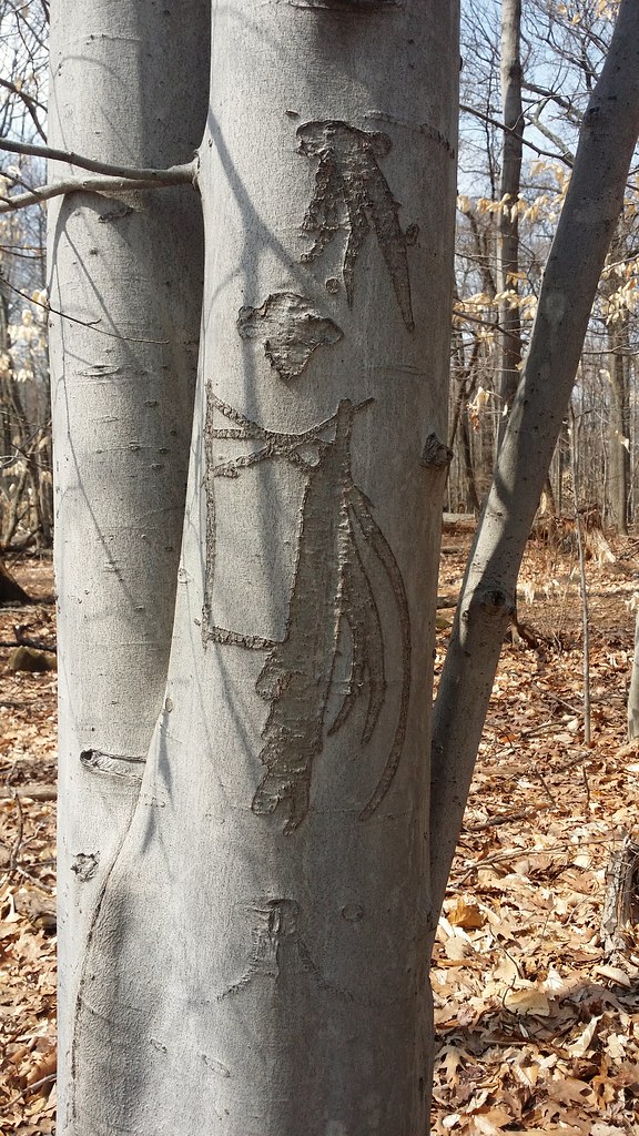 Photo: Doug Orleans, CC BY-SA 2.0 (via Flickr)
- 0.8 mi
- one way
- 70 ft
- climb
- 554 ft
- high point
- Point to point
- route
- Apr–Jun, Aug–Oct
- best months
Summit Trail is a 0.8-mile hike on South Mountain Reservation in New Jersey, managed by county land. It is a short, moderate outing with a total elevation gain of 70 feet, so it works well as a quick addition to a longer walk or a standalone stop. The trail is flat for most of the way, with the steepest stretch at about 0.77 miles, where the grade reaches 7%. The route starts at 478 feet and ends at 554 feet, with a small drop of 166 feet along the way. For comfortable weather, aim for late spring or early fall. Typical averages from the nearby Canoe Brook weather station show May highs around 72°F and September highs around 78°F, while July averages about 86°F. Several other trails sit close by. Aqua Trail is about 0.2 miles away, and Crest Trail, Pingry Trail and Rahway Low Ext are each about half a mile off.
Local outfitters
- Pier 13 Hoboken14 mi away
Not on Roamze yet. Their page has how to reach them.
- Aqua TrailHiking0.2 mi
- Crest TrailHiking0.5 mi
- Rahway Low ExtHiking0.5 mi
- Pingry TrailHiking0.5 mi
- South Mountain ReservationRock climbing0.5 mi
- Ball's Bluff TrailHiking0.7 mi
- Eagle Rock ReservationRock climbing5.2 mi
- * bouldering Northeast NJRock climbing9.7 mi
Source: Roamze catalog (indexable pages within 10 miles, PostGIS distance)
- West Ridge TrailHiking · ~1 min drivePhoto: Doug Orleans, CC BY-SA 2.0 (via Flickr)
- Turtle Back TrailHiking · ~1 min drivePhoto: Doug Orleans, CC BY-SA 2.0 (via Flickr)
- Liberty - Water GapHiking · ~7 min drive
 WestHiking · ~2 min drivePhoto: Hello Turkey Toe, CC BY 2.0 (via Flickr)
- Lenape Trail - SmrHiking · ~2 min drive
- Elmdale TrailHiking · ~2 min drivePhoto: Hello Turkey Toe, CC BY 2.0 (via Flickr)
 Orange TrailHiking · ~2 min drivePhoto: Hello Turkey Toe, CC BY 2.0 (via Flickr)
- Oakdale TrailHiking · ~2 min drivePhoto: Hello Turkey Toe, CC BY 2.0 (via Flickr)
- TurtlebackHiking · ~2 min drivePhoto: Hello Turkey Toe, CC BY 2.0 (via Flickr)
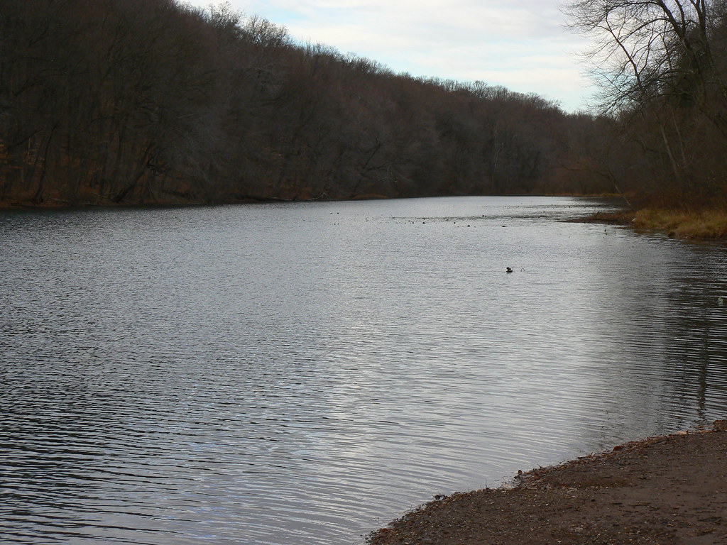 Red TrailHiking · ~10 min drivePhoto: P_Linehan, CC BY 2.0 (via Flickr)
Best time to visit Summit Trail
Best months: April–June and August–October. Best months have typical highs of 55–85 °F, lows of 30 °F or warmer (32 °F where the station doesn't record snow), at most one snowy day and no more than 12 wet days.
Jan
39° / 22°
9 wet
Feb
42° / 23°
8 wet
Mar
50° / 31°
10 wet
Apr
62° / 40°
11 wet
May
72° / 50°
12 wet
Jun
82° / 60°
11 wet
Jul
86° / 66°
11 wet
Aug
85° / 64°
11 wet
Sep
78° / 56°
10 wet
Oct
66° / 44°
10 wet
Nov
54° / 35°
9 wet
Dec
44° / 28°
10 wet
Typical high / low (°F) and days with rain or snow, 1991–2020. Measured at Canoe Brook, NJ, 3.3 mi away at 180 ft. This station doesn't record snowfall. Source: NOAA NCEI U.S. Climate Normals 1991–2020.
Map and trail data © OpenStreetMap contributors
