Dogwood Haven Family Campground
Campground
Campground · 11 mi from the trail
The Musconetcong Watershed Association Education Trail is a short, easy walk in New Jersey, set in the town of Asbury. The route is an out-and-back of about 0.7 miles, with a total elevation gain of 18 feet, so it's a flat, low-effort outing that can be done in about half an hour. The trail starts at roughly 332 feet and reaches a high point of 338 feet before returning to the starting level. It's a simple loop, and the climb is so slight that it's barely worth mentioning. The trail is managed by the Musconetcong Watershed Association, and it's an educational walk rather than a destination for a long day on foot. For comfortable weather, late spring and early fall are the best bets. Typical averages from a nearby weather station in Belvidere show May highs around 71°F and September highs around 76°F, with July the warmest month at about 84°F. Several other trails lie within a couple of miles, including Hendershot Road, the Westside Loop Trail and the Eastside Loop Trail. For time on the water, Merrill Creek Reservoir is about 5.7 miles away.
Dogwood Haven Family Campground
Campground
The Asbury’s Fork & Flame
Restaurant
 If it rainsZeete, CC BY-SA 4.0 · Wikimedia Commons
Places © OpenStreetMap contributors, Places © Overture Maps Foundation · Photos: Zeete, CC BY-SA 4.0 (commons)
More in Hackettstown Hendershot RoadHikingPhoto: Ddogas (talk), Public domain (via Wikimedia Commons)1.6 mi
Source: Roamze catalog (indexable pages within 10 miles, PostGIS distance)
Hendershot RoadHiking · ~3 min drivePhoto: Ddogas (talk), Public domain (via Wikimedia Commons) Yellow TrailHiking · ~9 min drivePhoto: Garden State Hiker, CC BY 2.0 (via Flickr)Green TrailHiking · ~9 min drivePhoto: Garden State Hiker, CC BY 2.0 (via Flickr)
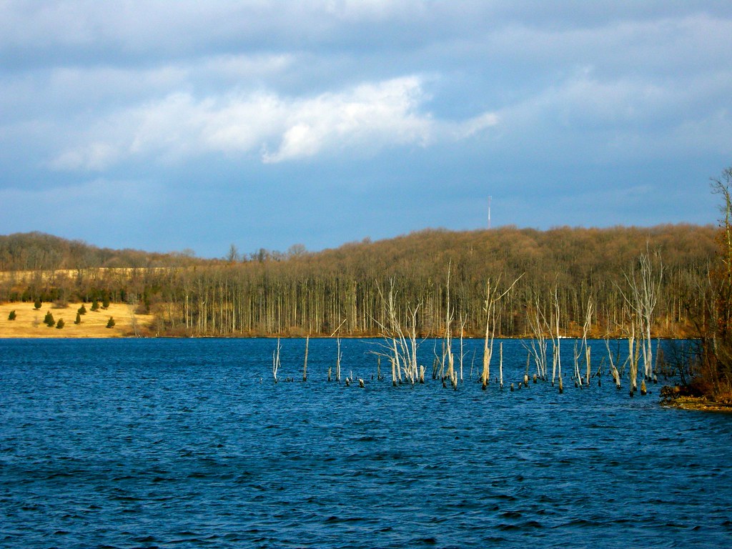 Blue TrailHiking · ~9 min drivePhoto: Garden State Hiker, CC BY 2.0 (via Flickr)Orange TrailHiking · ~10 min drivePhoto: Garden State Hiker, CC BY 2.0 (via Flickr)
 Vista Trail (pink)Hiking · ~10 min drivePhoto: seabamirum, CC BY 2.0 (via Flickr)
Best months: April and June–October. Best months have typical highs of 55–85 °F, lows of 30 °F or warmer (32 °F where the station doesn't record snow), at most one snowy day and no more than 12 wet days.
Jan
37° / 18°
11 wet · 3 snow
Feb
40° / 19°
9 wet · 3 snow
Mar
48° / 26°
10 wet · 2 snow
Apr
61° / 36°
11 wet
May
71° / 46°
13 wet
Jun
79° / 55°
12 wet
Jul
84° / 61°
11 wet
Aug
83° / 59°
11 wet
Sep
76° / 52°
9 wet
Oct
64° / 40°
10 wet
Nov
52° / 30°
10 wet
Dec
41° / 24°
12 wet · 2 snow
Typical high / low (°F) and days with rain or snow, 1991–2020. Measured at Belvidere Brg, NJ, 10 mi away at 263 ft. Source: NOAA NCEI U.S. Climate Normals 1991–2020.
Map and trail data © OpenStreetMap contributors
