Camp Lewis
Campground
Campground · 4.4 mi from the trail
Mud Hole Trail (Yellow) is a short, easy hike in Wildcat Ridge Wildlife Management Area in northern New Jersey, managed by State Fish and Wildlife. The trail is about 0.47 miles long, and the round trip adds up to roughly 0.94 miles with a total elevation gain of about 149 feet. The climb is gentle, with the steepest stretch at about 0.35 miles in, and the trail is an out-and-back that starts and ends at roughly 690 feet. Late spring and early fall are the most comfortable times to go. Typical averages from a nearby weather station show May highs around 70°F and September highs around 75°F, with July peaking near 83°F. Cedar Lake Boulders, a climbing area, sits about 0.2 miles away, and Hillcrest Trail (Blue) and the Orange band trail are each about 0.3 miles off. Hogs Pen, another climbing area, is about 0.4 miles away.
Camp Lewis
Campground
 If it rainsJerrye & Roy Klotz, MD, CC BY-SA 3.0 · Wikimedia Commons
Boonton Historical Society and Museum
Museum
Historical society and museum in Boonton, New Jersey
Places © OpenStreetMap contributors, Places © Overture Maps Foundation · Photos: Jerrye & Roy Klotz, MD, CC BY-SA 3.0 (commons)
More in HackettstownNot on Roamze yet. Their page has how to reach them.
 Parsippany Rock HouseRock climbingPhoto: Magpieturtle, CC BY 4.0 (via Wikimedia Commons)3.4 mi
 Rockaway RiverCanoeingPhoto: Zeete, CC BY-SA 4.0 (via Wikimedia Commons)4.8 mi
Source: Roamze catalog (indexable pages within 10 miles, PostGIS distance)
 Red TrailHiking · ~1 min drivePhoto: syvwlch, CC BY 2.0 (via Flickr)
 Orange Dot TrailHiking · ~2 min drivePhoto: syvwlch, CC BY 2.0 (via Flickr)
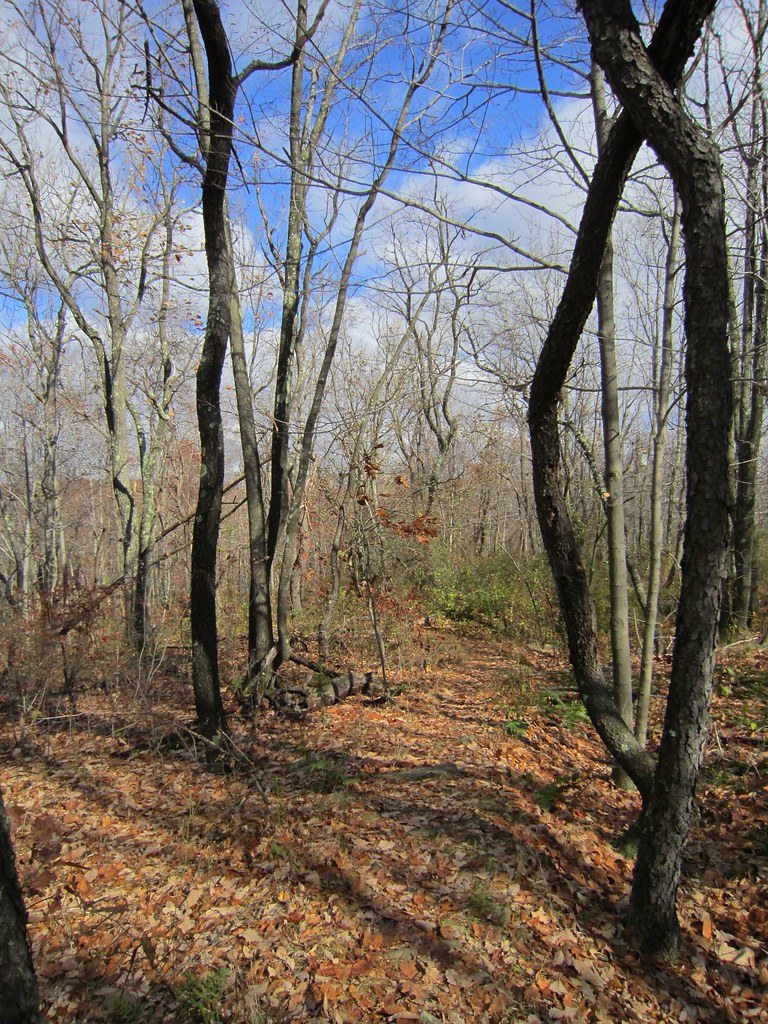 Splitrock TrailHiking · ~5 min drivePhoto: syvwlch, CC BY 2.0 (via Flickr)Four Birds TrailHiking · ~5 min drivePhoto: syvwlch, CC BY 2.0 (via Flickr)Orange TrailHiking · ~2 min drivePhoto: syvwlch, CC BY 2.0 (via Flickr)
 White TrailHiking · ~3 min drivePhoto: syvwlch, CC BY 2.0 (via Flickr)Blue TrailHiking · ~2 min drivePhoto: syvwlch, CC BY 2.0 (via Flickr)
 Meriden TrailHiking · ~2 min drivePhoto: syvwlch, CC BY 2.0 (via Flickr)
 Red TrailHiking · ~3 min drivePhoto: syvwlch, CC BY 2.0 (via Flickr)Purple TrailHiking · ~3 min drivePhoto: syvwlch, CC BY 2.0 (via Flickr)
Best months: April–October. Best months have typical highs of 55–85 °F, lows of 30 °F or warmer (32 °F where the station doesn't record snow), at most one snowy day and no more than 12 wet days.
Jan
36° / 19°
11 wet
Feb
39° / 19°
9 wet
Mar
47° / 27°
11 wet
Apr
59° / 38°
11 wet
May
70° / 48°
11 wet
Jun
78° / 57°
11 wet
Jul
83° / 61°
10 wet
Aug
81° / 59°
9 wet
Sep
75° / 52°
8 wet
Oct
63° / 41°
9 wet
Nov
51° / 32°
8 wet
Dec
41° / 25°
10 wet
Typical high / low (°F) and days with rain or snow, 1991–2020. Measured at Charlotteburg Rsvr, NJ, 7.9 mi away at 778 ft. This station doesn't record snowfall. Source: NOAA NCEI U.S. Climate Normals 1991–2020.
Map and trail data © OpenStreetMap contributors
