Land Conservancy Trail
- 1.4 mi
- round trip
- 835 ft
- climb
- 1,186 ft
- high point
- Out and back
- route
- Apr–Oct
- best months
Land Conservancy Trail is an easy out-and-back hike in West Brook Preserve in New Jersey, managed by a non-governmental organization. The trail is about 2.8 miles long, with a steady climb that reaches a high point of 1,186 feet. The route starts at roughly 992 feet and ends at the same elevation, with a total gain and loss of about 835 feet. The steepest stretch comes at about mile 1, where the grade reaches 14 percent. For comfortable weather, aim for late spring or early fall. Typical averages from a nearby weather station show May highs around 70°F and September highs around 75°F, with July the warmest month at about 83°F. That station sits roughly 400 feet lower than the trail's high point, so temperatures on the higher ground run a bit cooler. The hike takes about 1.5 hours. Overlook Rock Trail, Manaticut Trail and Camp Wyanokie Trail all lie about 1.6 miles away. Stonetown Boulders, a climbing area, is about 2.8 miles off.
Local outfitters
- Pier 13 Hoboken30 mi away
Not on Roamze yet. Their page has how to reach them.
- Overlook Rock TrailHiking1.6 mi
- Manaticut TrailHiking1.6 mi
- Camp Wyanokie TrailHiking1.6 mi
- Stonetown BouldersRock climbing2.8 mi
- Monksville ReservoirLake fishing4.3 mi
- Wanaque RiverCanoeing5.1 mi
- b. North CentralRock climbing6.7 mi
- Pequannock RiverCanoeing6.9 mi
Source: Roamze catalog (indexable pages within 10 miles, PostGIS distance)
 Wyanokie Crest TrailHiking · ~4 min drivePhoto: syvwlch, CC BY 2.0 (via Flickr)
- Wyanokie Circular Loop TrailHiking · ~5 min drivePhoto: syvwlch, CC BY 2.0 (via Flickr)
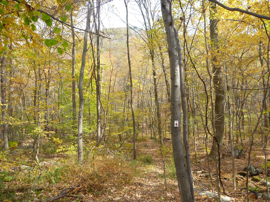 Manaticut Spur TrailHiking · ~5 min drivePhoto: daveclausen, CC BY 2.0 (via Flickr)
- Hewitt-Butler TrailHiking · ~5 min drivePhoto: syvwlch, CC BY 2.0 (via Flickr)
 Two BrooksHiking · ~5 min drivePhoto: Garden State Hiker, CC BY 2.0 (via Flickr)
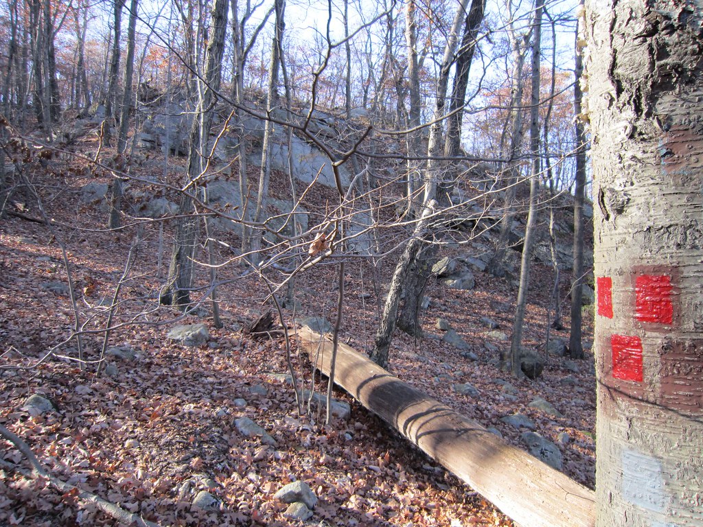 Torne TrailHiking · ~5 min drivePhoto: syvwlch — CC BY 2.0 (via Flickr)
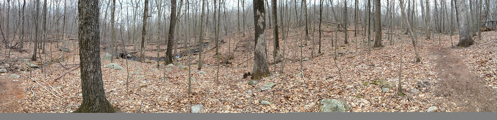 Carris Hill Connector TrailHiking · ~6 min drivePhoto: _strata_, CC BY 2.0 (via Flickr)
- Clinton WestHiking · ~6 min drivePhoto: Garden State Hiker, CC BY 2.0 (via Flickr)
 Unmarked Dirt TrailHiking · ~6 min drivePhoto: jimcintosh, CC BY 2.0 (via Flickr)
- Echo Lake EastHiking · ~3 min drive
Best time to visit Land Conservancy Trail
Best months: April–October. Best months have typical highs of 55–85 °F, lows of 30 °F or warmer (32 °F where the station doesn't record snow), at most one snowy day and no more than 12 wet days.
Jan
36° / 19°
11 wet
Feb
39° / 19°
9 wet
Mar
47° / 27°
11 wet
Apr
59° / 38°
11 wet
May
70° / 48°
11 wet
Jun
78° / 57°
11 wet
Jul
83° / 61°
10 wet
Aug
81° / 59°
9 wet
Sep
75° / 52°
8 wet
Oct
63° / 41°
9 wet
Nov
51° / 32°
8 wet
Dec
41° / 25°
10 wet
Typical high / low (°F) and days with rain or snow, 1991–2020. Measured at Charlotteburg Rsvr, NJ, 4.7 mi away at 778 ft. This station doesn't record snowfall. Source: NOAA NCEI U.S. Climate Normals 1991–2020.

Map and trail data © OpenStreetMap contributors
