Babtist Camp and Conference Center
Campground
Campground · 3.2 mi from the trail
 Photo: daveclausen, CC BY 2.0 (via Flickr)
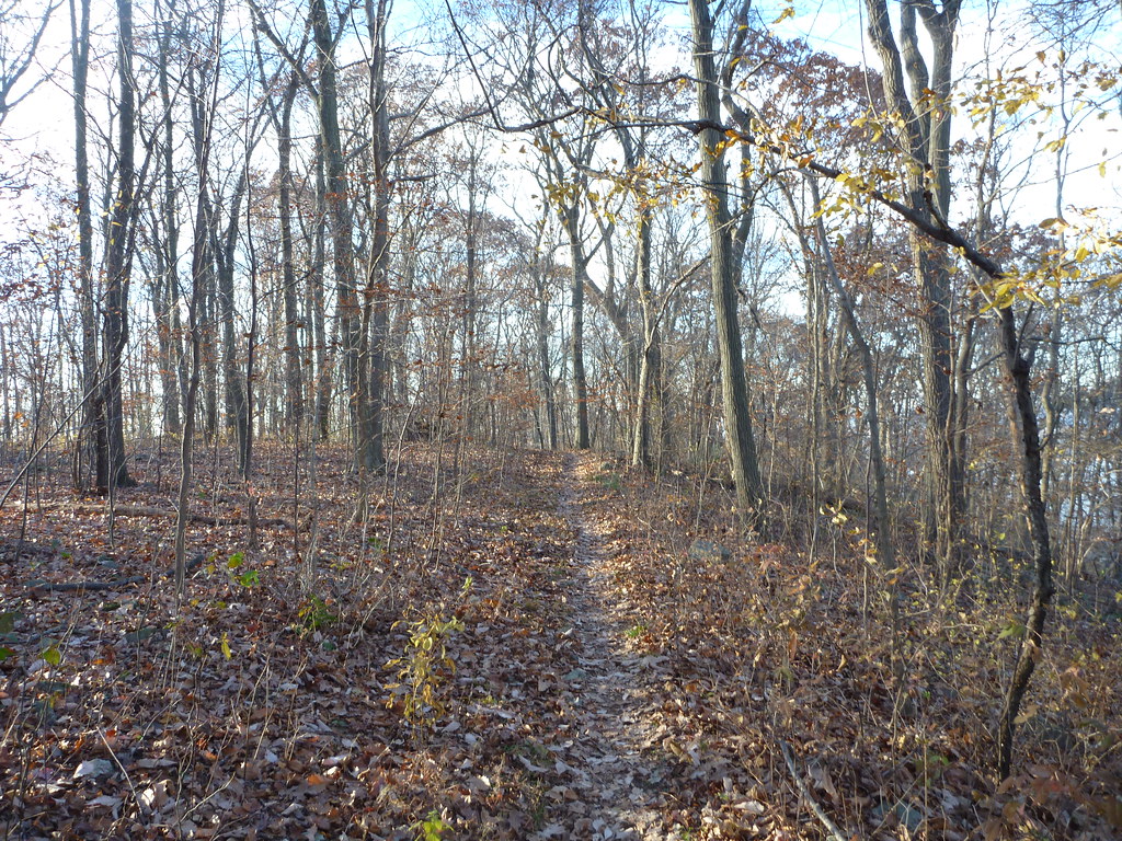
Cushetunk Trail is a hard hike of 8.35 miles with a 1,343-foot elevation gain, set within Round Valley Recreation Area in New Jersey. The trail is an out-and-back route that climbs from a low point of 225 feet to a high of 827 feet. The State Department of Natural Resources manages the land, and the trail is open to both bikes and horses. Spring and fall are the most comfortable times to go. Typical averages from a nearby weather station show May highs around 72°F and September highs around 77°F, with July peaking near 86°F and January highs near 38°F. Several other trails start close by, including the Blue Trail 0.2 miles away and the Pine Tree Trail 0.5 miles away. Round Valley Reservoir, a lake fishing spot, is about a mile off. The South Branch Raritan River lies roughly 4.5 miles away.
Babtist Camp and Conference Center
Campground
 If it rainsZeete, CC BY-SA 4.0 · Wikimedia Commons
Places © OpenStreetMap contributors, Places © Overture Maps Foundation · Photos: Zeete, CC BY-SA 4.0 (commons)
More in HackettstownNot on Roamze yet. Their page has how to reach them.
Daily highs and lows, wind and the chance of precipitation at the summit and route start for the next 7 days, from the Open-Meteo model.
Blue TrailHikingPhoto: daveclausen, CC BY 2.0 (via Flickr)0.2 mi Pine Tree TrailHikingPhoto: James Loesch, CC BY 2.0 (via Flickr)0.5 miBackstroke TrailHikingPhoto: James Loesch, CC BY 2.0 (via Flickr)0.7 mi
 Red TrailHikingPhoto: Soyza, CC BY-SA 2.0 (via Flickr)0.8 mi
 Campground TrailHikingPhoto: daveclausen, CC BY 2.0 (via Flickr)1.4 mi
Source: Roamze catalog (indexable pages within 10 miles, PostGIS distance)
Blue TrailHiking · Next doorPhoto: daveclausen, CC BY 2.0 (via Flickr)Campground TrailHiking · ~2 min drivePhoto: daveclausen, CC BY 2.0 (via Flickr)Pine Tree TrailHiking · Next doorPhoto: James Loesch, CC BY 2.0 (via Flickr)Backstroke TrailHiking · ~1 min drivePhoto: James Loesch, CC BY 2.0 (via Flickr)Red TrailHiking · ~1 min drivePhoto: Soyza, CC BY-SA 2.0 (via Flickr) Foran TrailHiking · ~6 min drivePhoto: grits2go, CC BY 2.0 (via Flickr)
 Nassau TrailHiking · ~6 min drivePhoto: grits2go, CC BY 2.0 (via Flickr)
Best months: April, June and August–October. Best months have typical highs of 55–85 °F, lows of 30 °F or warmer (32 °F where the station doesn't record snow), at most one snowy day and no more than 12 wet days.
Jan
38° / 21°
11 wet · 4 snow
Feb
41° / 22°
9 wet · 4 snow
Mar
50° / 29°
11 wet · 3 snow
Apr
62° / 39°
12 wet
May
72° / 49°
13 wet
Jun
81° / 58°
11 wet
Jul
86° / 63°
11 wet
Aug
84° / 61°
10 wet
Sep
77° / 54°
9 wet
Oct
65° / 42°
10 wet
Nov
53° / 33°
10 wet · 1 snow
Dec
43° / 26°
11 wet · 2 snow
Typical high / low (°F) and days with rain or snow, 1991–2020. Measured at Flemington 5 Nnw, NJ, 3.6 mi away at 265 ft. The station sits about 600 ft lower than this place, so expect it a little cooler here. Source: NOAA NCEI U.S. Climate Normals 1991–2020.
About 8.4 mi round trip.
About 1,343 ft of climbing round trip.
It is rated hard.
