Bridge Loop
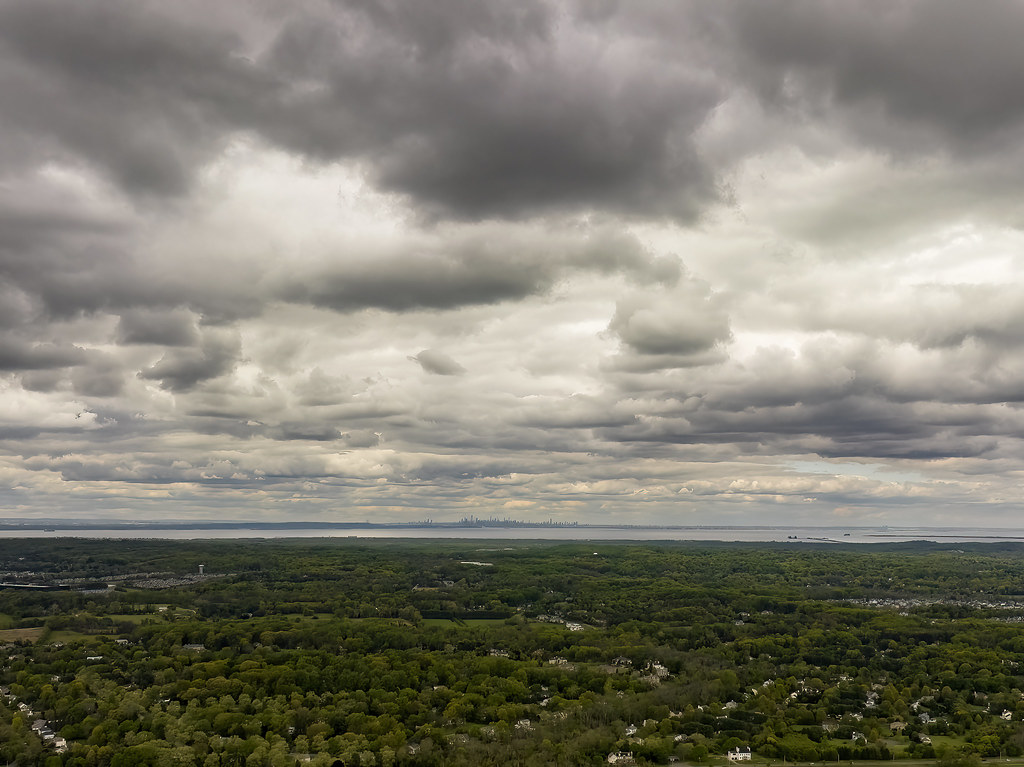
 Photo: tedkerwin, CC BY 2.0 (via Flickr)
- 0.9 mi
- round trip
- 131 ft
- climb
- 69 ft
- high point
- Out and back
- route
- Apr–Nov
- best months
Bridge Loop is an easy, 0.87-mile hike in Shark River Park in New Jersey, on county land. It's an out-and-back route of about 1.7 miles round trip, with a total elevation gain of 131 feet, so the climb is gentle and the return is the same descent. The trail is short and low. The highest point is about 69 feet, and the lowest is around 30 feet. The steepest stretch comes near the middle of the route, at about 0.48 miles, with a 5% grade. Bikes and horses are both allowed. The most comfortable months are typically June and September, when a nearby weather station in Long Branch records typical highs around 78°F and 76°F, according to NOAA climate normals. Winters are cool, with typical January highs near 42°F. Several other trails start close by, including Cedar Trail, Hidden Creek and Rivers Edge, all about 0.1 mile away, and Pine Hills at about 0.3 mile.
Local outfitters
- Pier 13 Hoboken38 mi away
Not on Roamze yet. Their page has how to reach them.
- Cedar TrailHikingPhoto: tedkerwin, CC BY 2.0 (via Flickr)0.1 mi
- Hidden CreekHiking0.1 mi
- Rivers EdgeHiking0.1 mi
 Pine HillsHikingPhoto: tedkerwin, CC BY 2.0 (via Flickr)0.3 mi
- Edgar Felix BikewayHiking3.6 mi
 Heather RambleHikingPhoto: febb, CC BY-SA 3.0 (via Wikimedia Commons)5.2 mi
- Winter Run LoopHiking5.4 mi
- West Farms LoopHiking5.4 mi
Source: Roamze catalog (indexable pages within 10 miles, PostGIS distance)
- Cedar TrailHiking · Next doorPhoto: tedkerwin, CC BY 2.0 (via Flickr)
 Reservoir LoopHiking · ~16 min drivePhoto: James Loesch, CC BY 2.0 (via Flickr)
- Pine HillsHiking · Next doorPhoto: tedkerwin, CC BY 2.0 (via Flickr)
- Edgar Felix BikewayHiking · ~6 min drive
- Cedar Trail ExtensionHiking · Next doorPhoto: tedkerwin, CC BY 2.0 (via Flickr)
- Manasquan TrailHiking · ~19 min drive
- Heather RambleHiking · ~9 min drivePhoto: febb, CC BY-SA 3.0 (via Wikimedia Commons)
- Sweetbriar TrailHiking · ~9 min drivePhoto: febb, CC BY-SA 3.0 (via Wikimedia Commons)
- Eastern LoopHiking · ~9 min drivePhoto: febb, CC BY-SA 3.0 (via Wikimedia Commons)
 Bracken TrailHiking · ~12 min drivePhoto: joiseyshowaa from Freehold, NJ, USA, CC BY-SA 2.0 (via Wikimedia Commons)
Best time to visit Bridge Loop
Best months: April–November. Best months have typical highs of 55–85 °F, lows of 30 °F or warmer (32 °F where the station doesn't record snow), at most one snowy day and no more than 12 wet days.
Jan
42° / 25°
11 wet
Feb
43° / 26°
9 wet
Mar
49° / 32°
10 wet
Apr
59° / 41°
11 wet
May
68° / 51°
12 wet
Jun
78° / 61°
10 wet
Jul
84° / 67°
9 wet
Aug
82° / 65°
9 wet
Sep
76° / 59°
9 wet
Oct
65° / 47°
10 wet
Nov
56° / 37°
9 wet
Dec
47° / 30°
11 wet
Typical high / low (°F) and days with rain or snow, 1991–2020. Measured at Long Branch-Oakhurst, NJ, 8 mi away at 30 ft. This station doesn't record snowfall. Source: NOAA NCEI U.S. Climate Normals 1991–2020.
