Camp Winnebago
Campground
Campground · 4.0 mi from the trail
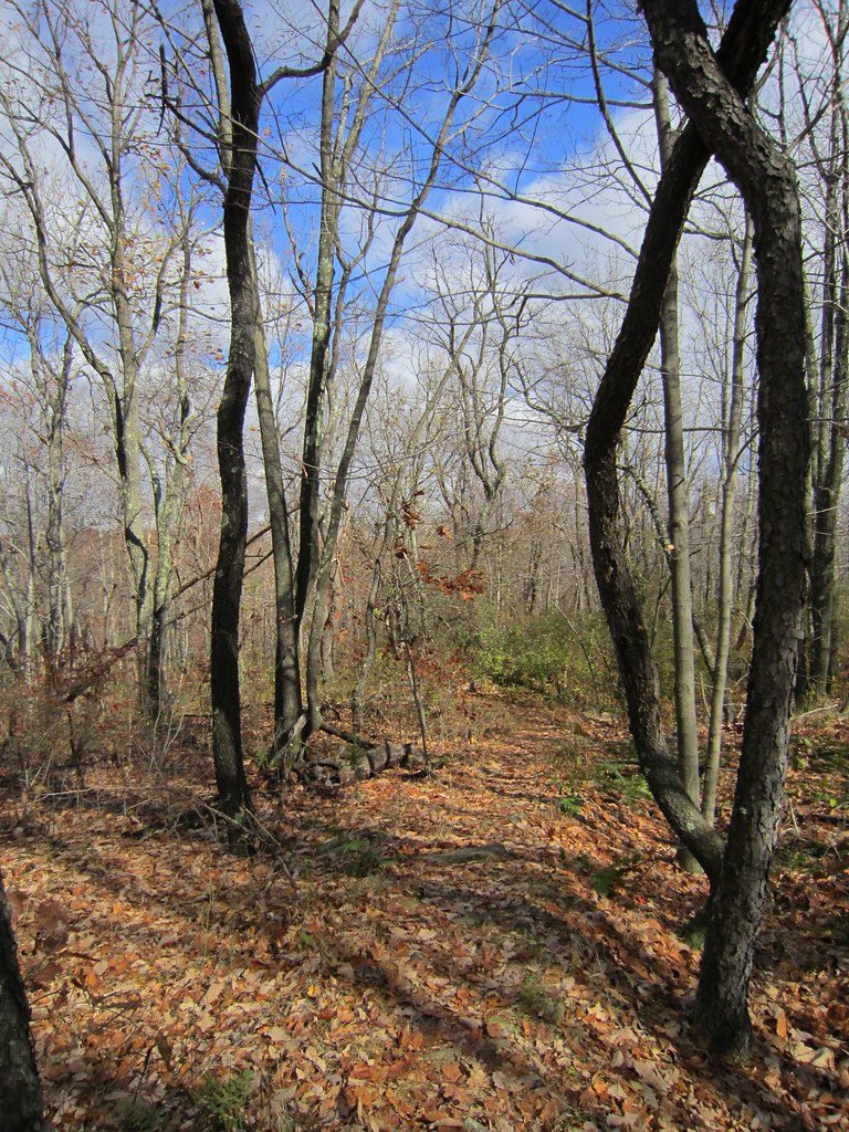
Blue Trail is an easy hike of about 2.2 miles on county land within Pyramid Mountain Natural Historic Area in New Jersey. The route gains about 335 feet in elevation, with the steepest stretch at roughly 0.87 miles in, where the grade reaches about 21 percent. The trail starts at around 760 feet and climbs to a high point of about 927 feet. For comfortable weather, aim for late spring or early fall. Typical averages from a nearby weather station show May highs around 70°F and September highs around 75°F, with July the warmest month at about 83°F. Bikes and horses are not allowed on this trail. The closest neighbors are the Lower Boulders and Upper Boulders climbing areas, both about half a mile away, and the Blue Dot Trail, also about half a mile off. Paddlers can find the Wanaque River about 8 miles away.
Camp Winnebago
Campground
 If it rainsMagicpiano, CC BY-SA 4.0 · Wikimedia Commons
Montville Township Museum
Museum
Places © OpenStreetMap contributors · Photos: Magicpiano, CC BY-SA 4.0 (commons)
More in HackettstownNot on Roamze yet. Their page has how to reach them.
 Blue Dot TrailHikingPhoto: Garden State Hiker, CC BY 2.0 (via Flickr)0.5 mi
 Rockaway RiverCanoeingPhoto: Zeete, CC BY-SA 4.0 (via Wikimedia Commons)8.3 mi
Source: Roamze catalog (indexable pages within 10 miles, PostGIS distance)
Blue Dot TrailHiking · Next doorPhoto: Garden State Hiker, CC BY 2.0 (via Flickr) White TrailHiking · ~1 min drivePhoto: Garden State Hiker, CC BY 2.0 (via Flickr)
 Splitrock TrailHiking · ~7 min drivePhoto: syvwlch, CC BY 2.0 (via Flickr)Four Birds TrailHiking · ~7 min drivePhoto: syvwlch, CC BY 2.0 (via Flickr)
 Yellow / Black Dot TrailHiking · ~1 min drivePhoto: Toebone at English Wikipedia, Public domain (via Wikimedia Commons)Yellow TrailHiking · ~2 min drivePhoto: Toebone at English Wikipedia, Public domain (via Wikimedia Commons)Red / White Stripes TrailHiking · ~2 min drivePhoto: Toebone at English Wikipedia, Public domain (via Wikimedia Commons)
 Lewis Arthur DriveHiking · ~6 min drivePhoto: syvwlch, CC BY 2.0 (via Flickr)Orange TrailHiking · ~2 min drivePhoto: Garden State Hiker, CC BY 2.0 (via Flickr)Green TrailHiking · ~2 min drivePhoto: Garden State Hiker, CC BY 2.0 (via Flickr)
Best months: April–October. Best months have typical highs of 55–85 °F, lows of 30 °F or warmer (32 °F where the station doesn't record snow), at most one snowy day and no more than 12 wet days.
Jan
36° / 19°
11 wet
Feb
39° / 19°
9 wet
Mar
47° / 27°
11 wet
Apr
59° / 38°
11 wet
May
70° / 48°
11 wet
Jun
78° / 57°
11 wet
Jul
83° / 61°
10 wet
Aug
81° / 59°
9 wet
Sep
75° / 52°
8 wet
Oct
63° / 41°
9 wet
Nov
51° / 32°
8 wet
Dec
41° / 25°
10 wet
Typical high / low (°F) and days with rain or snow, 1991–2020. Measured at Charlotteburg Rsvr, NJ, 5.6 mi away at 778 ft. This station doesn't record snowfall. Source: NOAA NCEI U.S. Climate Normals 1991–2020.
About 2.2 mi.
About 335 ft of climbing round trip.
It is rated easy.
About 1 hour round trip.
2: Blue Trail and Orange Trail.
Daily highs and lows, wind and the chance of precipitation at the summit and route start for the next 7 days, from the Open-Meteo model.
Map and trail data © OpenStreetMap contributors
