Pine Hill
- 799 ft
- summit
- 2
- ways up
- Apr–Oct
- best months
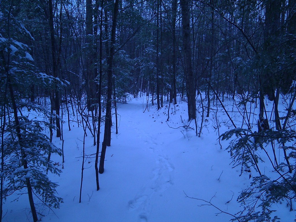
Pine Hill is a summit in New Hampshire, rising to 799 feet about 2.5 miles from Concord. It sits close to town, making it an easy addition to a day spent exploring the area around the state capital. Late spring through early fall is the most comfortable time to go. Typical averages from a nearby weather station in Concord show September highs around 74°F with lows near 49°F, and the summit sits higher than that station, so temperatures on top run a little cooler. Several trails start within a mile. High Trail is just 0.3 miles away and West End Farm Trail is 0.6 miles off. Carter Hill is about a mile away, and the climbing at Big Quarry, also known as Tadpole Quarry, is roughly 2 miles from the summit.
Conditions and forecast
Daily highs and lows, wind and the chance of precipitation at the summit and route start for the next 7 days, from the Open-Meteo model.
- Summit elevation
- 799 ft
Elevation from USGS 3D Elevation Program terrain data (about 10 m resolution).
Compare the routes High Trail Carter Hill Climbing About 43 ft About 299 ft Round trip 0.5 mi 1.4 mi Difficulty Easy Moderate Terrain Hike Hike Map © Mapbox © OpenStreetMap contributors Questions about Pine Hill
How tall is Pine Hill?
799 ft (244 m).
How many routes go to the summit of Pine Hill?
2: High Trail and Carter Hill.
What is the shortest route up Pine Hill?
High Trail, about 0.5 mi.
- Jerry Hill736 ft · New Hampshire1 route1.2 mi away
- Oak Hill940 ft · New Hampshire1 route6.5 mi away
- Kuncanowet Hills661 ft · New Hampshire1 route10 mi away
- Mount Wallingford1,208 ft · New Hampshire1 route12 mi away
- Hall Mountain938 ft · New Hampshire1 route16 mi away
- North Mountain1,327 ft · New Hampshire1 route16 mi away
- High TrailHiking0.3 mi
- West End Farm TrailHiking0.6 mi
- Carter HillHiking1.1 mi
- Big Quarry aka "Tadpole Quarry"Rock climbing2 mi
- Little Quarry aka "Fish Quarry"Rock climbing2.3 mi
- Contoocook RiverRiver fishing4.1 mi
- Merrimack RiverRiver fishing4.2 mi
- Elm Brook Park Rec AreaCamping6.4 mi
Source: Roamze catalog (indexable pages within 10 miles, PostGIS distance)
 Ragged MountainSummit · ~34 min drivePhoto: Tom Morgan, Public domain (via Wikimedia Commons)
 Crotched MountainSummit · ~35 min drivePhoto: User:Magicpiano, CC BY-SA 4.0 (via Wikimedia Commons)
 Pack Monadnock MountainSummit · ~49 min drivePhoto: Ken Gallager at en.wikipedia, CC BY 3.0 (via Wikimedia Commons)
- Jerry HillSummit · ~2 min drive
- Oak HillSummit · ~11 min drive
- Kuncanowet HillsSummit · ~18 min drive
- Mount WallingfordSummit · ~21 min drive
- Hall MountainSummit · ~27 min drive
- North MountainSummit · ~28 min drive
- Mount KearsargeSummit · ~28 min drive
Best time to visit Pine Hill
Best months: April–October. Best months have typical highs of 55–85 °F, lows of 30 °F or warmer (32 °F where the station doesn't record snow), at most one snowy day and no more than 12 wet days.
Jan
32° / 13°
11 wet · 8 snow
Feb
35° / 15°
10 wet · 7 snow
Mar
44° / 23°
12 wet · 5 snow
Apr
57° / 33°
11 wet · 1 snow
May
69° / 44°
12 wet
Jun
78° / 54°
12 wet
Jul
83° / 59°
11 wet
Aug
82° / 57°
10 wet
Sep
74° / 49°
9 wet
Oct
61° / 38°
11 wet
Nov
48° / 29°
11 wet · 2 snow
Dec
37° / 20°
12 wet · 6 snow
Typical high / low (°F) and days with rain or snow, 1991–2020. Measured at Concord Muni Ap, NH, 5.9 mi away at 346 ft. Source: NOAA NCEI U.S. Climate Normals 1991–2020.