Copple Crown Mountain
- 1,874 ft
- summit
- 1
- way up
- Apr–Oct
- best months
Copple Crown Mountain is a summit in New Hampshire, rising to 1,874 feet about 4.5 miles from the town of Sanbornville. The Copple Crown Trail passes within a mile of the peak, making it the natural route for anyone heading up. For comfortable weather, aim for late spring through early fall. Typical averages from a nearby weather station show September highs around 73°F with lows near 52°F, and July highs around 82°F. That station sits well below the summit, so temperatures on top run cooler. Other outings lie close by. Rand Mountain offers climbing about 1.4 miles away, and Ellis R Hatch Bouldering is about 1.9 miles off. Burrows Farm Trail and Mountain View Trail are both within about 3 miles.
Conditions and forecast
Daily highs and lows, wind and the chance of precipitation at the summit and route start for the next 7 days, from the Open-Meteo model.
- Summit elevation
- 1,874 ft
Elevation from USGS 3D Elevation Program terrain data (about 10 m resolution).
Map © Mapbox © OpenStreetMap contributors Questions about Copple Crown Mountain
How tall is Copple Crown Mountain?
1,874 ft (571 m).
How many routes go to the summit of Copple Crown Mountain?
One: Copple Crown Trail.
- Phoebes Nable Mountain1,181 ft · New Hampshire1 route3.1 mi away
- Whiteface Mountain1,348 ft · New Hampshire1 route8.1 mi away
- Pine Mountain1,416 ft · New Hampshire2 routes8.6 mi away
- Mount Major1,785 ft · New Hampshire2 routes8.8 mi away
- Straightback Mountain1,886 ft · New Hampshire4 routes9.4 mi away
- Goat Pasture Hill1,137 ft · New Hampshire1 route10 mi away
- Copple Crown TrailHiking0.8 mi
- Rand MountainRock climbing1.4 mi
- Ellis R Hatch BoulderingRock climbing1.9 mi
- Burrows Farm TrailHiking2.3 mi
- Mountain View TrailHiking2.7 mi
- New Durham Area (Longstack, Devil's Den, Rines Hill, etc.)Rock climbing2.8 mi
- Indigenous WallRock climbing2.9 mi
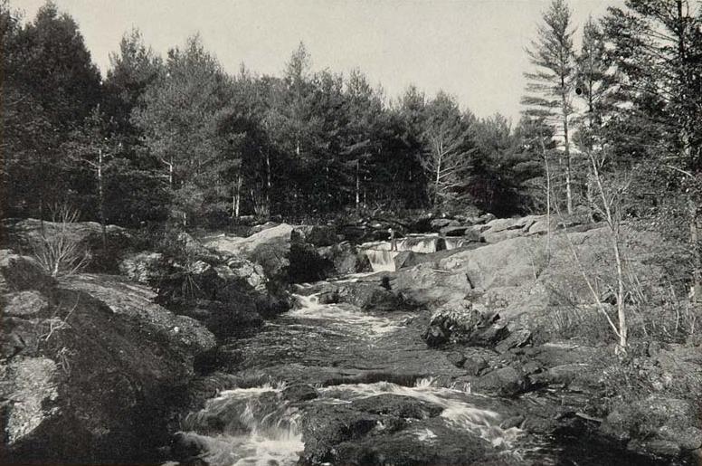 Salmon Falls RiverCanoeingPhoto: Unknown photographer, Public domain (via Wikimedia Commons)7.9 mi
Source: Roamze catalog (indexable pages within 10 miles, PostGIS distance)
- Phoebes Nable MountainSummit · ~5 min drive
- Whiteface MountainSummit · ~14 min drive
- Pine MountainSummit · ~15 min drive
- Mount MajorSummit · ~15 min drive
- Straightback MountainSummit · ~16 min drive
- Goat Pasture HillSummit · ~18 min drive
- Belknap MountainSummit · ~22 min drive
- Mount RoweSummit · ~23 min drive
- Gunstock MountainSummit · ~23 min drive
- Piper MountainSummit · ~23 min drive
Best time to visit Copple Crown Mountain
Best months: April–October. Best months have typical highs of 55–85 °F, lows of 30 °F or warmer (32 °F where the station doesn't record snow), at most one snowy day and no more than 12 wet days.
Jan
30° / 12°
11 wet · 7 snow
Feb
34° / 12°
9 wet · 6 snow
Mar
42° / 21°
11 wet · 4 snow
Apr
56° / 33°
11 wet · 1 snow
May
68° / 44°
12 wet
Jun
77° / 55°
12 wet
Jul
82° / 60°
12 wet
Aug
81° / 59°
10 wet
Sep
73° / 52°
10 wet
Oct
60° / 40°
11 wet
Nov
47° / 30°
11 wet · 1 snow
Dec
36° / 20°
12 wet · 5 snow
Typical high / low (°F) and days with rain or snow, 1991–2020. Measured at Lakeport 2, NH, 17.5 mi away at 500 ft. The station sits about 1,400 ft lower than this place, so expect it a little cooler here. Source: NOAA NCEI U.S. Climate Normals 1991–2020.
