Le Lièvre
- 0.5 mi
- round trip
- 357 ft
- climb
- Out and back
- route
- Moderate
- difficulty
- May–Sep
- best months
Le Lièvre is a ski touring route in northern New Hampshire, about half a mile from the town of North Derby, Vermont, which is the nearest town. The climb is a short out-and-back, about a mile long, with a total gain of 357 feet from the start at 1,810 feet to the high point at 2,085 feet. The route is front-loaded, with the steepest stretch at the beginning, where the grade reaches about 20 percent. Winter is the natural season for this kind of outing. Typical averages from the nearby Jay Peak weather station in Vermont show January highs around 24°F with lows near 4°F, while July highs reach about 74°F. That station sits a few hundred feet lower than the route's high point, so temperatures on top run a little cooler. Several other ski touring routes lie close by, including Le tracé du Lynx about 0.3 miles away and Le Campagnol about 0.4 miles away. The mountain biking route La 4 kilomètres is also about 0.4 miles off, and the hiking trail Sentier De L'estrie, Zone Orford is about 1.7 miles away.
- Le tracé du LynxSki touring0.3 mi
- Le CampagnolSki touring0.4 mi
- La 4 kilomètresMountain biking0.4 mi
- Le RenardSki touring1 mi
- L'UrubuSki touring1 mi
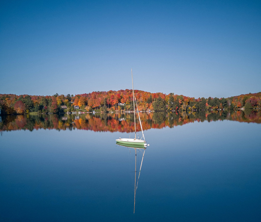 Sentier De L'estrie, Zone OrfordHikingPhoto: MCdeMtl, CC BY-SA 2.0 (via Flickr)1.7 mi
- Sentier De L'estrie, Zone Bolton, AccèsHiking6.4 mi
- Sentier De L'estrie, Zone BoltonHiking8.2 mi
Source: Roamze catalog (indexable pages within 10 miles, PostGIS distance)
- L'UrubuSki touring · Next door
- Le RenardSki touring · ~2 min drive
- L'HermineSki touring · ~2 min drive
- Sentier MontjoyeSki touring · ~25 min drive
- S1- JauneCross-country skiing · ~44 min drive
- Le CampagnolSki touring · ~1 min drive
- MielleuseSki touring · ~35 min drive
- La Montagnarde (5)Cross-country skiing · ~4 min drive
- Sentier HillcrestSki touring · ~25 min drive
- La Castorie (14)Cross-country skiing · ~6 min drive
Best time to visit Le Lièvre
Best months: May–September. Best months have typical highs of 55–85 °F, lows of 30 °F or warmer (32 °F where the station doesn't record snow), at most one snowy day and no more than 12 wet days.
Jan
24° / 4°
Feb
25° / 6°
Mar
34° / 15°
Apr
46° / 28°
May
61° / 41°
Jun
70° / 51°
Jul
74° / 56°
Aug
72° / 54°
Sep
66° / 46°
Oct
52° / 35°
Nov
39° / 24°
Dec
29° / 13°
Typical high / low (°F) and days with rain or snow, 1991–2020. Measured at Jay Peak, VT, 28.7 mi away at 1,840 ft. This station doesn't record snowfall. Source: NOAA NCEI U.S. Climate Normals 1991–2020.

Map and trail data © OpenStreetMap contributors
