Black Mountain Cabin
Campground
Sites open the weekend of Dec 18 on Recreation.gov
Closure in the area
There's a closure order in White Mountain National Forest. It doesn't name Hutmen's Trail, so check the source for the area it covers (2 listed).
Wild River Fire - Androscoggin Ranger District
Agency closure covering White Mountain National Forest · USFS · White Mountain National Forest
Rattlesnake Fire – Pemigewasset Ranger District
Agency closure covering White Mountain National Forest · USFS · White Mountain National Forest
Town Hall Road Camping and Fire Restrictions
Agency alert covering White Mountain National Forest · USFS · White Mountain National Forest
Lincoln Woods Trail Closure
Agency alert covering White Mountain National Forest · USFS · White Mountain National Forest
Forest Roads Status
Agency alert covering White Mountain National Forest · USFS · White Mountain National Forest
As of · Source: USFS · White Mountain National Forest. Agencies don't list every closure — check before you go.
Hutmen's Trail is a cross-country skiing route in the Saco Ranger District of the White Mountain National Forest in New Hampshire, about 2 miles from Black Mountain Cabin. The Forest Service manages the land, and the trail is rated moderate. The route is an out-and-back of about 1.3 miles, with a total climb of 338 feet and a high point of about 1,919 feet. The steepest stretch comes at about 0.55 miles, with a 7% grade. Winter is the natural season for skiing here. Typical averages from the nearby Pinkham Notch weather station show January highs around 26°F and lows near 6°F, while July highs reach about 75°F. The 63. Beaver Bog Trail and the Dana Place XC Ski Trail both lie within half a mile. Black Mountain Cabin is about 2 miles away, and the Pinnacle Block climbing area is about 1.5 miles off.
Black Mountain Cabin
Campground
 If it rainsKen Gallager, CC BY-SA 4.0 · Wikimedia Commons
Places © OpenStreetMap contributors · Photos: Ken Gallager, CC BY-SA 4.0 (commons)
More in North ConwayBest months: September. Best months have typical highs of 55–85 °F, lows of 30 °F or warmer (32 °F where the station doesn't record snow), at most one snowy day and no more than 12 wet days.
Jan
26° / 6°
14 wet
Feb
28° / 7°
13 wet
Mar
36° / 15°
14 wet
Apr
49° / 27°
13 wet
May
62° / 39°
15 wet
Jun
70° / 48°
14 wet
Jul
75° / 53°
14 wet
Aug
74° / 52°
13 wet
Sep
68° / 45°
12 wet
Oct
54° / 35°
14 wet
Nov
42° / 24°
14 wet
Dec
31° / 14°
16 wet
Typical high / low (°F) and days with rain or snow, 1991–2020. Measured at Pinkham Notch, NH, 4 mi away at 2,025 ft. This station doesn't record snowfall. Source: NOAA NCEI U.S. Climate Normals 1991–2020.
SKI
FR 512
Next door
Easy
SKI
63. Beaver Bog Trail
Next door
0.41-mile out-and-back trail in New Hampshire with 60 ft of elevation gain.
SKI
Hubs Loop
~1 min drive
0.39-mile out-and-back out-and-back in New Hampshire with 8 ft of elevation gain.
SKI
FR 512
Next door
0.5 mi · Easy
SKI
Prospect Farm Road
Next door
0.24-mile out-and-back route on Prospect Farm Road in New Hampshire with 109 ft of elevation gain.
SKI
Beth Hendrick Trail
~2 min drive
0.27-mile out-and-back route at Beth Hendrick Trail in New Hampshire.
SKI
63. Beaver Bog Trail
Next door
63. Beaver Bog Trail is a 0.40-mile out-and-back in New Hampshire with 50 ft of elevation gain.
SKI
Halls Ledge Overlook
~2 min drive
0.29-mile out-and-back ski route at Halls Ledge Overlook in New Hampshire.
SKI
9. Dana Place Trail
~2 min drive
9. Dana Place Trail is a 1.34-mile out-and-back route in New Hampshire with 155 feet of elevation gain.
SKI
FR 512
Next door
0.3 mi · Easy
Also worth it near here
CLIMB
Pinnacle Block
~3 min drive
BED
Black Mountain Cabin
~3 min drive
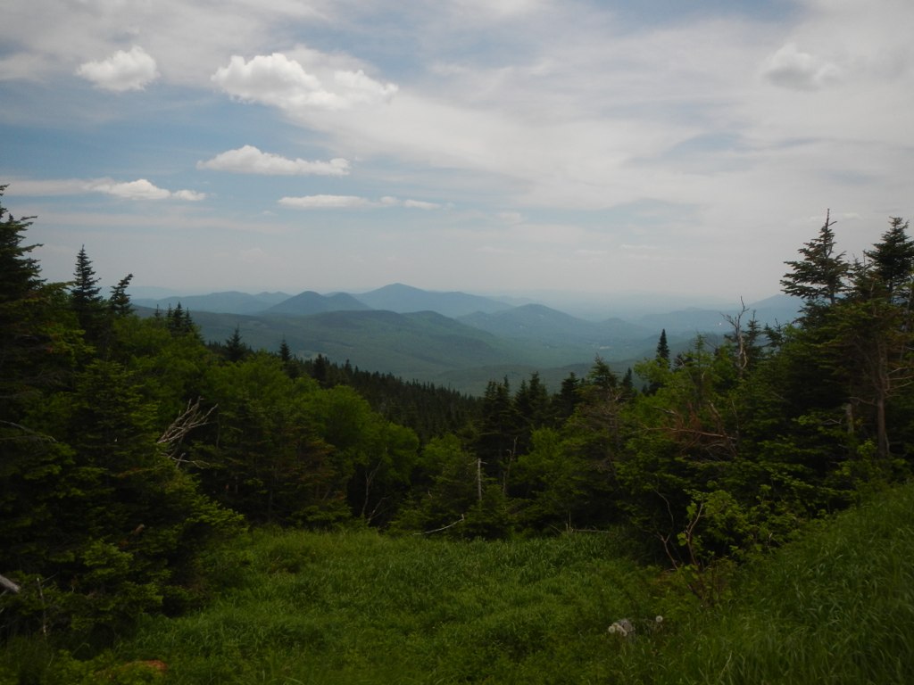 Photo: John Hayes (gravelboy), CC BY 2.0 (via Flickr)
Wildcat Valley Trail
~5 min drive
 Photo: muffinman71xx, CC BY-SA 2.0 (via Wikimedia Commons)
Glen Ellis Falls
~6 min drive
 Photo: Ken Gallager at en.wikipedia, Public domain (via Wikimedia Commons)
Wildcat Mountain
~6 min drive
Map and trail data © OpenStreetMap contributors
