Hermit Lake Complex
Campground
Campground · 1.6 mi from the trail
Caution at last check
Agency alerts are in effect for this area; weather is marginal · USFS, OpenWeather · checked 13 h ago
Closure in the area
There's a closure order in White Mountain National Forest. It doesn't name Gulf of Slides Ski Trail, so check the source for the area it covers (2 listed).
Wild River Fire - Androscoggin Ranger District
Agency closure covering White Mountain National Forest · USFS · White Mountain National Forest
Rattlesnake Fire – Pemigewasset Ranger District
Agency closure covering White Mountain National Forest · USFS · White Mountain National Forest
Town Hall Road Camping and Fire Restrictions
Agency alert covering White Mountain National Forest · USFS · White Mountain National Forest
Lincoln Woods Trail Closure
Agency alert covering White Mountain National Forest · USFS · White Mountain National Forest
Forest Roads Status
Agency alert covering White Mountain National Forest · USFS · White Mountain National Forest
As of · Source: USFS · White Mountain National Forest. Agencies don't list every closure — check before you go.
Gulf of Slides Ski Trail is a ski touring route in New Hampshire's White Mountain National Forest, within the Androscoggin Ranger District. The Forest Service manages the land. The trail is a 4.5-mile out-and-back that climbs about 2,225 feet from a starting point near 2,060 feet to a high point of 3,997 feet. That makes it a hard climb, and the steepest stretch comes at about 1.3 miles in, where the grade reaches 37%. The route starts close to Pinkham Notch, and the Pinkham Notch XC ski trail and Tuckerman Ravine Trail both lie about a tenth of a mile away. Square Ledge (Pinkham Notch) is a climbing area half a mile off, and Hermit Lake Complex offers camping about 1.6 miles away.
Hermit Lake Complex
Campground
 If it rainsKen Gallager, CC BY-SA 4.0 · Wikimedia Commons
Places © OpenStreetMap contributors, Places © Overture Maps Foundation · Photos: Ken Gallager, CC BY-SA 4.0 (commons)
More in North Conway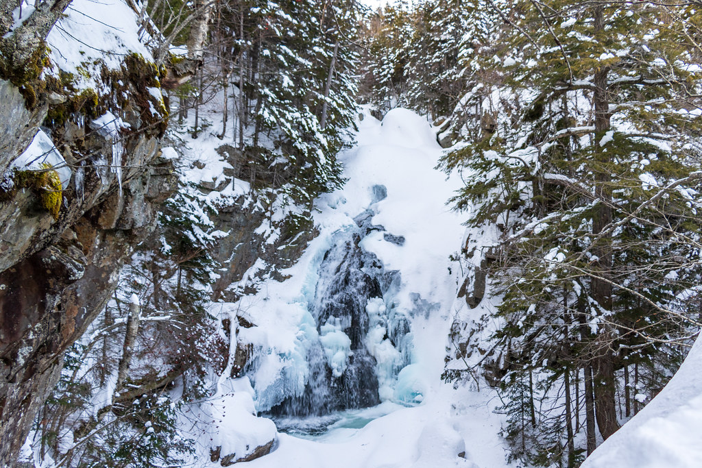 Tuckerman Ravine TrailHikingPhoto: Ktr101, CC BY-SA 2.0 (via Flickr)0.1 miDirettissimaHikingPhoto: Ktr101, CC BY-SA 2.0 (via Flickr)0.1 mi
Source: Roamze catalog (indexable pages within 10 miles, PostGIS distance)
 Wildcat MountainDownhill skiing · ~2 min drivePhoto: matt.a, CC BY 3.0 (via Wikimedia Commons)
Map and trail data © OpenStreetMap contributors

