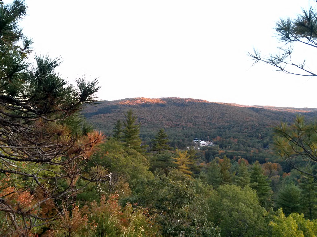
Rumney Rattlesnake Campground
Campground
Campground · 6.4 mi from the trail
East Loop is a cross-country ski loop in New Hampshire, about 0.4 miles from the town of Dorchester. The route is roughly 1.2 miles long, with a total elevation gain of 124 feet and a total loss of 238 feet. It is a moderate ski, and the steepest part comes at about 0.64 miles in, with an 8% grade. Winter is the natural season for this trail. Typical averages from a nearby weather station in Wentworth show January highs around 29°F with about 10 snow days, while March runs a bit milder at highs near 42°F. That station sits well below the loop, so temperatures on the trail run cooler. West Loop is just 0.2 miles away, and Town House Trail is 0.3 miles off. Homestead, another cross-country ski route, is 0.8 miles away. For a change of pace, the Indian River offers canoeing about 7 miles from the loop.
Rumney Rattlesnake Campground
Campground
 If it rainsDaderot, CC0 · Wikimedia Commons
Places © OpenStreetMap contributors · Photos: Daderot, CC0 (commons)
More in BradfordSource: Roamze catalog (indexable pages within 10 miles, PostGIS distance)
Best months: September. Best months have typical highs of 55–85 °F, lows of 30 °F or warmer (32 °F where the station doesn't record snow), at most one snowy day and no more than 12 wet days.
Jan
29° / 7°
12 wet · 10 snow
Feb
33° / 8°
10 wet · 9 snow
Mar
42° / 17°
10 wet · 6 snow
Apr
56° / 29°
11 wet · 2 snow
May
68° / 40°
15 wet
Jun
77° / 50°
16 wet
Jul
82° / 55°
16 wet
Aug
81° / 53°
14 wet
Sep
72° / 46°
12 wet
Oct
59° / 35°
15 wet · 1 snow
Nov
46° / 25°
13 wet · 3 snow
Dec
35° / 16°
13 wet · 8 snow
Typical high / low (°F) and days with rain or snow, 1991–2020. Measured at Wentworth, NH, 7.4 mi away at 653 ft. The station sits about 900 ft lower than this place, so expect it a little cooler here. Source: NOAA NCEI U.S. Climate Normals 1991–2020.
Map and trail data © OpenStreetMap contributors