Doublehead Cabin
Campground
Sites open the weekend of Dec 4 on Recreation.gov
Closure in the area
There's a closure order in White Mountain National Forest. It doesn't name Black Mountain Road, so check the source for the area it covers (2 listed).
Wild River Fire - Androscoggin Ranger District
Agency closure covering White Mountain National Forest · USFS · White Mountain National Forest
Rattlesnake Fire – Pemigewasset Ranger District
Agency closure covering White Mountain National Forest · USFS · White Mountain National Forest
Town Hall Road Camping and Fire Restrictions
Agency alert covering White Mountain National Forest · USFS · White Mountain National Forest
Lincoln Woods Trail Closure
Agency alert covering White Mountain National Forest · USFS · White Mountain National Forest
Forest Roads Status
Agency alert covering White Mountain National Forest · USFS · White Mountain National Forest
As of · Source: USFS · White Mountain National Forest. Agencies don't list every closure — check before you go.
Black Mountain Road is a short, moderate cross-country ski route in the Saco Ranger District of the White Mountain National Forest in New Hampshire. The out-and-back trip covers about half a mile, with a total elevation gain of 128 feet, and it is rated moderate. The climb is front-loaded, with the steepest stretch at about 0.15 miles from the start, where the grade reaches 14 percent. The route begins at an elevation of about 1,612 feet and reaches a high point of 1,726 feet before returning to the starting level. It pairs easily with other outings in the area. The Bald Land Trail and the Bald Land XC cross-country ski route both lie about 0.4 miles away, and Doublehead Cabin is about 1.3 miles off. Winter is the natural season for this route. Typical averages from the nearby Pinkham Notch weather station show January highs around 26°F with lows near 6°F, while July highs reach about 75°F. The station sits roughly 300 feet higher than the route, so temperatures on the road run a little warmer.
Doublehead Cabin
Campground
Museum of White Mountain Art / Jackson Historical Society
Museum
Places © OpenStreetMap contributors
More in North ConwayBest months: September. Best months have typical highs of 55–85 °F, lows of 30 °F or warmer (32 °F where the station doesn't record snow), at most one snowy day and no more than 12 wet days.
Jan
26° / 6°
14 wet
Feb
28° / 7°
13 wet
Mar
36° / 15°
14 wet
Apr
49° / 27°
13 wet
May
62° / 39°
15 wet
Jun
70° / 48°
14 wet
Jul
75° / 53°
14 wet
Aug
74° / 52°
13 wet
Sep
68° / 45°
12 wet
Oct
54° / 35°
14 wet
Nov
42° / 24°
14 wet
Dec
31° / 14°
16 wet
Typical high / low (°F) and days with rain or snow, 1991–2020. Measured at Pinkham Notch, NH, 7.7 mi away at 2,025 ft. This station doesn't record snowfall. Source: NOAA NCEI U.S. Climate Normals 1991–2020.
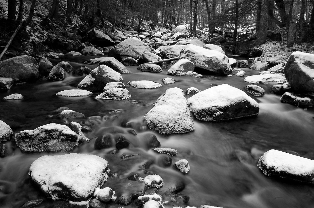
 Photo: Jrclark, CC BY-SA 3.0 (via Wikimedia Commons)
Black Mountain
Next door
Black Mountain in New Hampshire has 58 downhill runs (19 easy, 20 intermediate, 19 advanced) across 1016 ft of vertical drop.
SKI
Bald Land Xc
Next door
2.05-mile out-and-back trail in New Hampshire with 336 ft gain
SKI
East Pasture Trail
~2 min drive
East Pasture Trail is a hard-rated cross-country ski trail in New Hampshire, 0.57 miles.
SKI
Betty Whitney Trail
~2 min drive
0.31-mile out-and-back route in New Hampshire with 41 ft of elevation gain.
SKI
Doublehead Ski Trail
~2 min drive
1.5 mi
SKI
Scenic vista spur
~2 min drive
0.32-mile out-and-back route in New Hampshire with 47 ft of elevation gain.
SKI
FR 238B
~3 min drive
0.3 mi · Hard
SKI
FR 5033
~2 min drive
0.3 mi · Moderate
SKI
FR 238B
~4 min drive
0.7 mi · Easy
SKI
Black Mountain Cutoff Trail
~3 min drive
0.47-mile out-and-back trail in New Hampshire with 249 ft of elevation gain.
Map and trail data © OpenStreetMap contributors