Rumney Rattlesnake Campground
Campground
Campground · 0.8 mi from the trail
Closure in the area
There's a closure order in White Mountain National Forest. It doesn't name The Prudential, so check the source for the area it covers (2 listed).
Wild River Fire - Androscoggin Ranger District
Agency closure covering White Mountain National Forest · USFS · White Mountain National Forest
Rattlesnake Fire – Pemigewasset Ranger District
Agency closure covering White Mountain National Forest · USFS · White Mountain National Forest
Town Hall Road Camping and Fire Restrictions
Agency alert covering White Mountain National Forest · USFS · White Mountain National Forest
Lincoln Woods Trail Closure
Agency alert covering White Mountain National Forest · USFS · White Mountain National Forest
Forest Roads Status
Agency alert covering White Mountain National Forest · USFS · White Mountain National Forest
As of · Source: USFS · White Mountain National Forest. Agencies don't list every closure — check before you go.
The Prudential is a climbing area in the Pemigewasset Ranger District of White Mountain National Forest in New Hampshire, managed by the Forest Service. It sits among several other climbing areas, with The Asylum and The Very Nice Crag each about 0.1 mile away, and Summit Cliff (The Highlands) at a similar distance. The Final Frontier Trail lies about 0.3 mile off, and Rattlesnake Mtn is about half a mile away. The area has 28 routes, with 22 of them sport and 6 trad. The YDS grades run from 5.5 up to 5.12d, with the median at 5.11b. Among the sport routes are Bright Eyes at 5.5, Tumbling Dice at 5.9-, and Hard Drive at 5.11d. The trad route Losing Your Life and Living Through It is 5.12c. Summer is the most comfortable time to climb. Typical averages from a nearby weather station in Wentworth, NH, show July highs around 82°F with lows near 55°F, while winter brings highs in the 20s and frequent snow days from December through February.
Rumney Rattlesnake Campground
Campground
Stinson Mountain Grill
Restaurant
 If it rainsDaderot, CC0 · Wikimedia Commons
Places © OpenStreetMap contributors · Photos: Daderot, CC0 (commons)
More in Bradford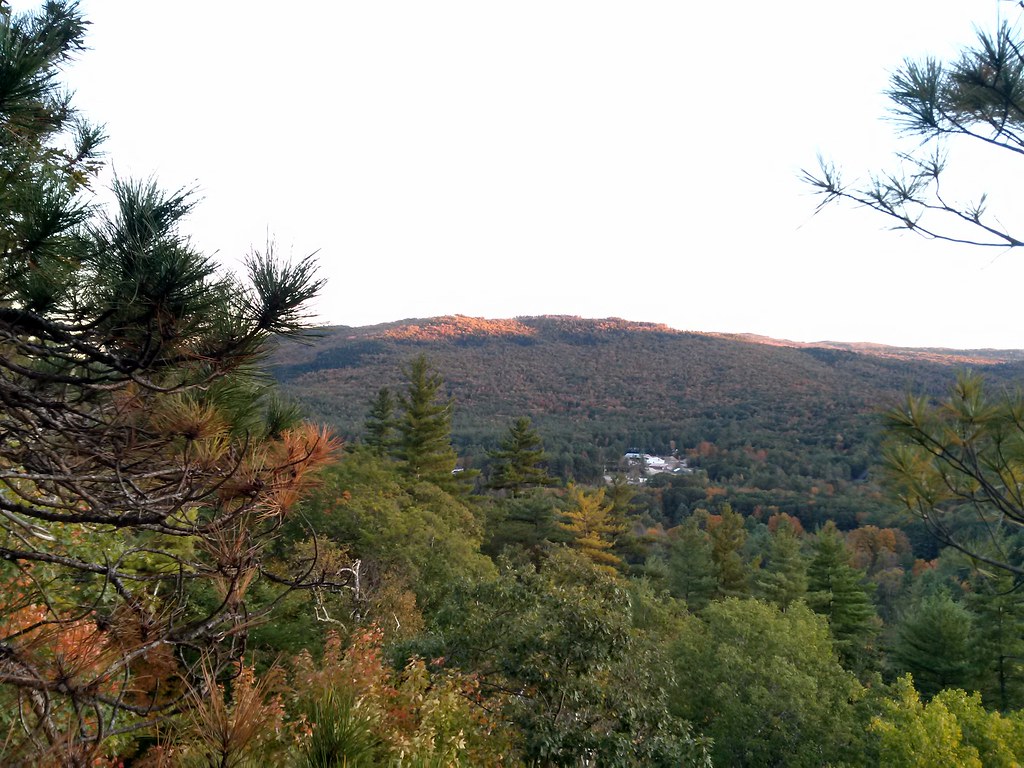 Final Frontier TrailHikingPhoto: just6979, CC BY-SA 2.0 (via Flickr)0.3 mi
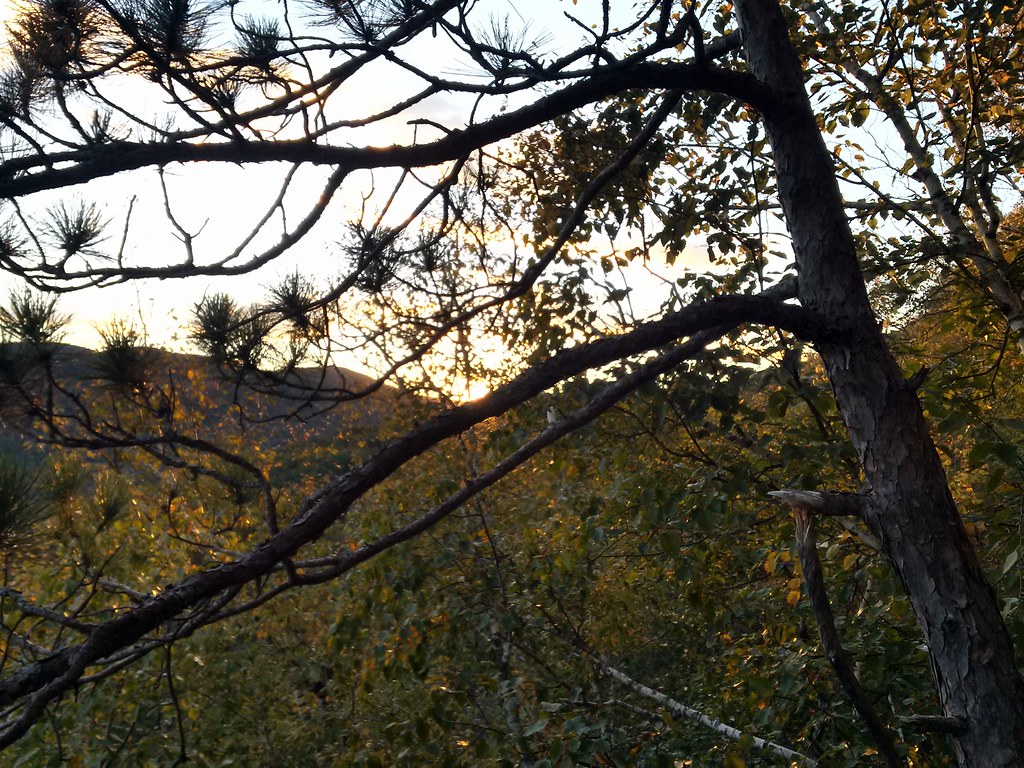 Rattlesnake MtnHikingPhoto: just6979, CC BY-SA 2.0 (via Flickr)0.5 mi
Source: Roamze catalog (indexable pages within 10 miles, PostGIS distance)
Best months: September. Best months have typical highs of 55–85 °F, lows of 30 °F or warmer (32 °F where the station doesn't record snow), at most one snowy day and no more than 12 wet days.
Jan
29° / 7°
12 wet · 10 snow
Feb
33° / 8°
10 wet · 9 snow
Mar
42° / 17°
10 wet · 6 snow
Apr
56° / 29°
11 wet · 2 snow
May
68° / 40°
15 wet
Jun
77° / 50°
16 wet
Jul
82° / 55°
16 wet
Aug
81° / 53°
14 wet
Sep
72° / 46°
12 wet
Oct
59° / 35°
15 wet · 1 snow
Nov
46° / 25°
13 wet · 3 snow
Dec
35° / 16°
13 wet · 8 snow
Typical high / low (°F) and days with rain or snow, 1991–2020. Measured at Wentworth, NH, 5.6 mi away at 653 ft. Source: NOAA NCEI U.S. Climate Normals 1991–2020.
