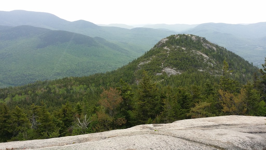
The Furrow
- 5.9+
- grade
- Trad Gear
- style
- May–Oct
- best months
Is The Furrow open right now?
Closure in the area
There's a closure order in White Mountain National Forest. It doesn't name The Furrow, so check the source for the area it covers (2 listed).
Wild River Fire - Androscoggin Ranger District
Agency closure covering White Mountain National Forest · USFS · White Mountain National Forest
Rattlesnake Fire – Pemigewasset Ranger District
Agency closure covering White Mountain National Forest · USFS · White Mountain National Forest
Town Hall Road Camping and Fire Restrictions
Agency alert covering White Mountain National Forest · USFS · White Mountain National Forest
Lincoln Woods Trail Closure
Agency alert covering White Mountain National Forest · USFS · White Mountain National Forest
Forest Roads Status
Agency alert covering White Mountain National Forest · USFS · White Mountain National Forest
As of · Source: USFS · White Mountain National Forest. Agencies don't list every closure — check before you go.
Located in The Mill Stone sector at Dickey Notch, this route sits at the top of the grade range among the four climbs catalogued here. First ascent by Nick Benedix & Michael Zarnowski.
- Glacial ParkRock climbing · Next door
- Cone Head LedgeRock climbing · Next door
- South America WallRock climbing · ~1 min drive
- The OceanRock climbing · ~1 min drive
- The BeachRock climbing · ~1 min drive
- Lower BowlRock climbing · ~2 min drive
- The Dark PassengerRock climbing · ~2 min drive
- The Witchcraft BouldersRock climbing · ~2 min drive
- The Dark SideRock climbing · ~2 min drive
- Mount OsceolaRock climbing · ~2 min drive
Best time to visit The Furrow
Best months: May–October. Best months have typical highs of 55–85 °F, lows of 30 °F or warmer (32 °F where the station doesn't record snow), at most one snowy day and no more than 12 wet days.
Jan
28° / 6°
Feb
30° / 6°
Mar
38° / 15°
Apr
50° / 28°
May
63° / 40°
Jun
72° / 49°
Jul
77° / 54°
Aug
76° / 52°
Sep
69° / 45°
Oct
56° / 34°
Nov
43° / 25°
Dec
33° / 14°
Typical high / low (°F) and days with rain or snow, 1991–2020. Measured at Waterville Valley Nepp, NH, 5.1 mi away at 1,429 ft. This station doesn't record snowfall. Source: NOAA NCEI U.S. Climate Normals 1991–2020.