Ore Hill Tentsite
Campground
Campground · 1.8 mi from the trail
Clear at last check
Weather is good · OpenWeather · checked 15 h ago
Upper Baker Pond Beach is a boat launch in New Hampshire, managed by the Town of Orford. The nearest town is Fairlee, Vermont, about 8 miles away. Summer is the most comfortable time to visit. Typical averages from a nearby weather station in Wentworth, New Hampshire, show July highs around 82°F with lows near 55°F, while winter brings highs in the 20s and regular snow days from December through February. Ore Hill Tentsite is about 2 miles away, and Hexacuba Shelter is about 3 miles away. The Cross Rivendell Trail and Richie Green Trail are both within about 3 miles.
Ore Hill Tentsite
Campground
 If it rainsredjar, CC BY-SA 2.0 · Wikimedia Commons
Justin Smith Morrill Homestead
Museum
Historic Carpenter Gothic home of United States Senator Justin Smith Morrill (1810–98) in Strafford, Vermont, and was one of the first declared National Historic Landmarks, in 1960
Places © OpenStreetMap contributors, Places © Overture Maps Foundation · Photos: redjar, CC BY-SA 2.0 (commons)
More in Bradford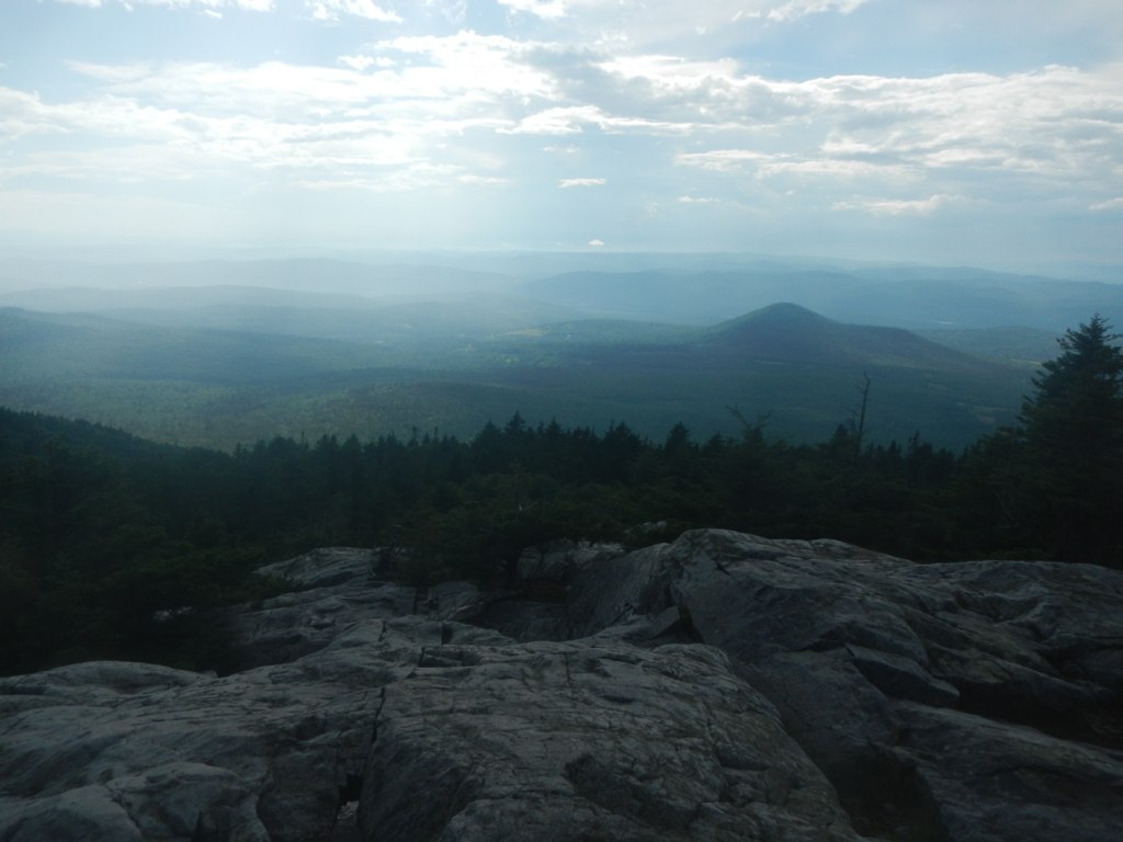 Cross Rivendell TrailHikingPhoto: John Hayes (gravelboy), CC BY 2.0 (via Flickr)2.5 mi
 Richie Green TrailHikingPhoto: Thevandaley, CC BY-SA 4.0 (via Wikimedia Commons)3.1 mi
Source: Roamze catalog (indexable pages within 10 miles, PostGIS distance)
 Mink BrookCanoeing · ~33 min drivePhoto: Ken Gallager at en.wikipedia, CC BY-SA 3.0 (via Wikimedia Commons)
 Pemigewasset RiverCanoeing · ~34 min drivePhoto: Public domain (via Wikimedia Commons)
 Newfound RiverCanoeing · ~43 min drivePhoto: Ken Gallager at en.wikipedia, Public domain (via Wikimedia Commons)
 North Branch Sugar RiverCanoeing · ~52 min drivePhoto: Ken Gallager at Wikipedia, CC BY-SA 4.0 (via Wikimedia Commons)
Also worth it near here
Best months: September. Best months have typical highs of 55–85 °F, lows of 30 °F or warmer (32 °F where the station doesn't record snow), at most one snowy day and no more than 12 wet days.
Jan
29° / 7°
12 wet · 10 snow
Feb
33° / 8°
10 wet · 9 snow
Mar
42° / 17°
10 wet · 6 snow
Apr
56° / 29°
11 wet · 2 snow
May
68° / 40°
15 wet
Jun
77° / 50°
16 wet
Jul
82° / 55°
16 wet
Aug
81° / 53°
14 wet
Sep
72° / 46°
12 wet
Oct
59° / 35°
15 wet · 1 snow
Nov
46° / 25°
13 wet · 3 snow
Dec
35° / 16°
13 wet · 8 snow
Typical high / low (°F) and days with rain or snow, 1991–2020. Measured at Wentworth, NH, 5 mi away at 653 ft. Source: NOAA NCEI U.S. Climate Normals 1991–2020.
Map and trail data © OpenStreetMap contributors

