Yellow Trail
- 0.9 mi
- round trip
- 212 ft
- climb
- 706 ft
- high point
- Out and back
- route
- May–Oct
- best months
Yellow Trail is a short, easy hike in Page Brook Forest, on city land in New Hampshire. The route is 1.7 miles long and has a front-loaded climb, with the steepest stretch at about 0.22 miles from the start. The trail's highest point is 706 feet, and the total elevation gain and loss are each about 212 feet, so it works as an out-and-back. The trailhead sits at about 609 feet, and the climb is rated easy. Late spring through early fall is the most comfortable time to go. Typical averages from a nearby weather station in Meredith run from highs in the upper 60s in May to about 71°F in September, with July highs around 81°F. That station sits about 155 feet higher than the trail's start, so temperatures on the trail may run slightly warmer. The trip takes about half an hour, and the Blue Trail lies just 0.4 miles away. Within a few miles you'll also find the Main Loop Trail (yellow) and the Swamp Loop Trail (blue), as well as the Lakes Region climbing area.
- Blue TrailHiking0.4 mi
- Main Loop Trail (yellow)Hiking2.5 mi
- Swamp Loop Trail (blue)Hiking2.5 mi
- Long Loop Trail (red)Hiking2.6 mi
- Lakes RegionRock climbing2.8 mi
- The Dark Crystal BoulderRock climbing7.6 mi
- Dark Crystal AreaRock climbing8.3 mi
- The BouldersRock climbing8.4 mi
Source: Roamze catalog (indexable pages within 10 miles, PostGIS distance)
 Blue TrailHiking · ~6 min drivePhoto: jwalsh, CC BY 2.0 (via Flickr)
 Red Hill TrailHiking · ~9 min drivePhoto: jwalsh, CC BY 2.0 (via Flickr)
- Eagle Cliff TrailHiking · ~11 min drive
- Brookside TrailHiking · ~7 min drivePhoto: jwalsh, CC BY 2.0 (via Flickr)
- Sheridan Woods TrailHiking · ~9 min drive
- White TrailHiking · ~7 min drivePhoto: jwalsh, CC BY 2.0 (via Flickr)
- Blue TrailHiking · ~11 min drive
 Blue TrailHiking · ~8 min drivePhoto: jwalsh, CC BY 2.0 (via Flickr)
- Pink TrailHiking · ~11 min drive
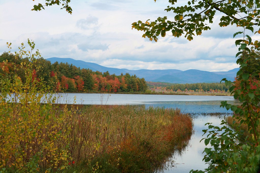 Blue TrailHiking · ~11 min drivePhoto: BenFrantzDale, CC BY-SA 2.0 (via Flickr)
Best time to visit Yellow Trail
Best months: May–October. Best months have typical highs of 55–85 °F, lows of 30 °F or warmer (32 °F where the station doesn't record snow), at most one snowy day and no more than 12 wet days.
Jan
29° / 13°
10 wet
Feb
32° / 15°
9 wet
Mar
41° / 23°
10 wet
Apr
54° / 34°
11 wet
May
67° / 45°
12 wet
Jun
75° / 55°
12 wet
Jul
81° / 60°
11 wet
Aug
79° / 59°
10 wet
Sep
71° / 52°
10 wet
Oct
58° / 40°
11 wet
Nov
45° / 30°
11 wet
Dec
34° / 21°
11 wet
Typical high / low (°F) and days with rain or snow, 1991–2020. Measured at Meredith 3 Nne, NH, 2 mi away at 861 ft. This station doesn't record snowfall. Source: NOAA NCEI U.S. Climate Normals 1991–2020.
Map and trail data © OpenStreetMap contributors
