Osceola Vista Campground
Campground
Campground · 2.0 mi from the trail
Closure in the area
There's a closure order in White Mountain National Forest. It doesn't name Sosman Trail, so check the source for the area it covers (2 listed).
Wild River Fire - Androscoggin Ranger District
Agency closure covering White Mountain National Forest · USFS · White Mountain National Forest
Rattlesnake Fire – Pemigewasset Ranger District
Agency closure covering White Mountain National Forest · USFS · White Mountain National Forest
Town Hall Road Camping and Fire Restrictions
Agency alert covering White Mountain National Forest · USFS · White Mountain National Forest
Lincoln Woods Trail Closure
Agency alert covering White Mountain National Forest · USFS · White Mountain National Forest
Forest Roads Status
Agency alert covering White Mountain National Forest · USFS · White Mountain National Forest
As of · Source: USFS · White Mountain National Forest. Agencies don't list every closure — check before you go.
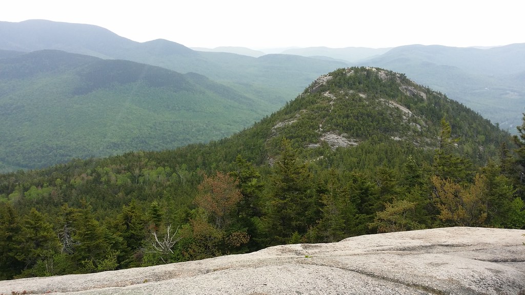
Sosman Trail is a short, easy hike in the Pemigewasset Ranger District of White Mountain National Forest in New Hampshire, about 2.6 miles from the community of Tripoli Mill. The trail is an out-and-back, roughly 0.86 miles long, with a total climb of about 94 feet and a steepest grade of about 3% near the start. The trail is managed by the Forest Service, and the route is a low-elevation outing. The high point is about 3,836 feet, and the low point is about 3,780 feet, so the climb is gentle and the return is nearly the same. Mt Osceola and Mt Tecumseh are both within about 1.6 miles, and Base Lodge offers ski touring about 1.5 miles away. Osceola Vista Campground is about 2 miles off for anyone planning an overnight stay.
Osceola Vista Campground
Campground
Schwendi Hütte
Restaurant
 If it rainsKen Gallager, CC BY-SA 4.0 · Wikimedia Commons
Places © OpenStreetMap contributors · Photos: Ken Gallager, CC BY-SA 4.0 (commons)
More in North Conway Mt OsceolaHikingPhoto: Bob Linsdell, CC BY 2.0 (via Flickr)1.4 mi
 Mt TecumsehHikingPhoto: Bob Linsdell, CC BY 2.0 (via Flickr)1.6 mi
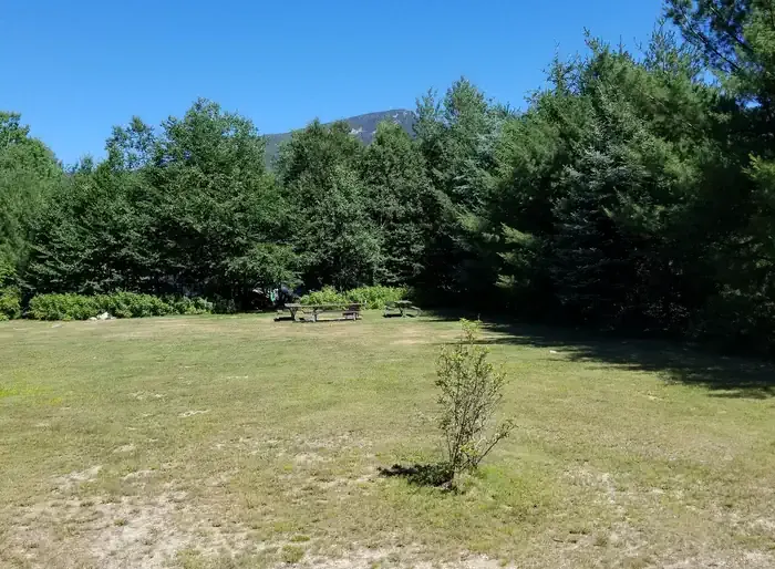 Osceola Vista CampgroundCampingPhoto: Recreation.gov (RIDB) / public domain2 mi
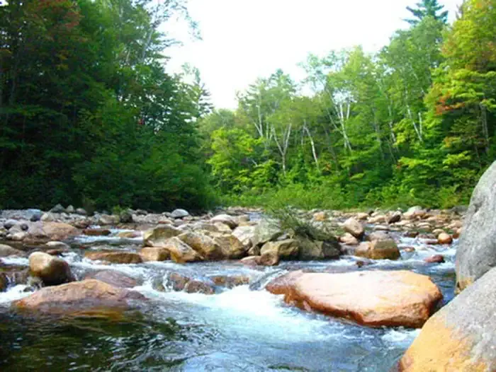 Waterville CampgroundCampingPhoto: Recreation.gov (RIDB) / public domain2.9 mi
Source: Roamze catalog (indexable pages within 10 miles, PostGIS distance)
Mt OsceolaHiking · ~2 min drivePhoto: Bob Linsdell, CC BY 2.0 (via Flickr) Hardy Brook Spur FR704Hiking · ~5 min drivePhoto: Dennis S. Hurd, Public Domain Dedication (CC0) (via Flickr)
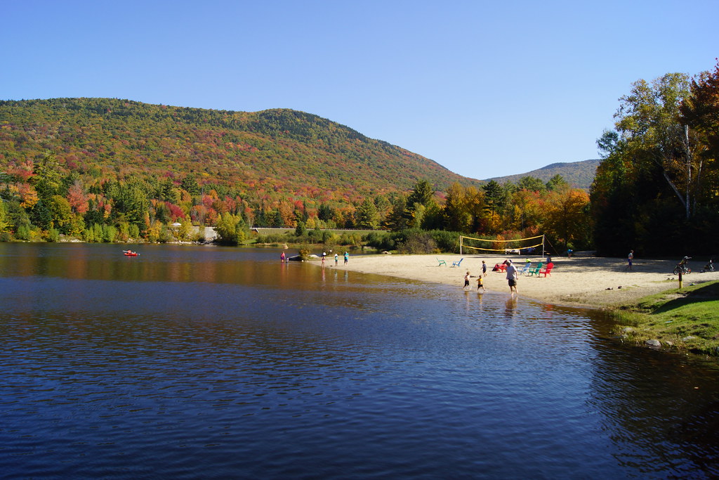 Snows MtnHiking · ~5 min drivePhoto: marcn, CC BY 2.0 (via Flickr)Mt TecumsehHiking · ~3 min drivePhoto: Bob Linsdell, CC BY 2.0 (via Flickr)Hardy Brook Spur A FR116AHiking · ~5 min drivePhoto: Dennis S. Hurd, Public Domain Dedication (CC0) (via Flickr)Drakes Brook TrailHiking · ~5 min drivePhoto: Dennis S. Hurd, Public Domain Dedication (CC0) (via Flickr)
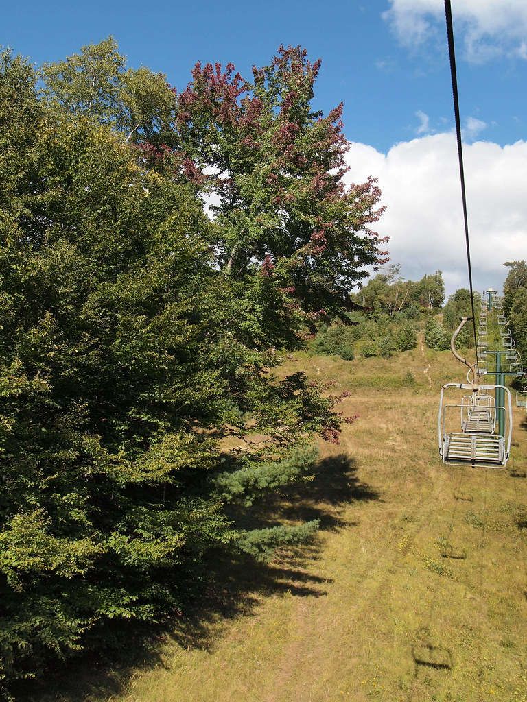 Kettles PathHiking · ~5 min drivePhoto: rickpilot_2000, CC BY 2.0 (via Flickr)
 Welch-DickeyHiking · ~7 min drivePhoto: Doug Orleans, CC BY-SA 2.0 (via Flickr)
Map and trail data © OpenStreetMap contributors

