Shannon Brook Trail
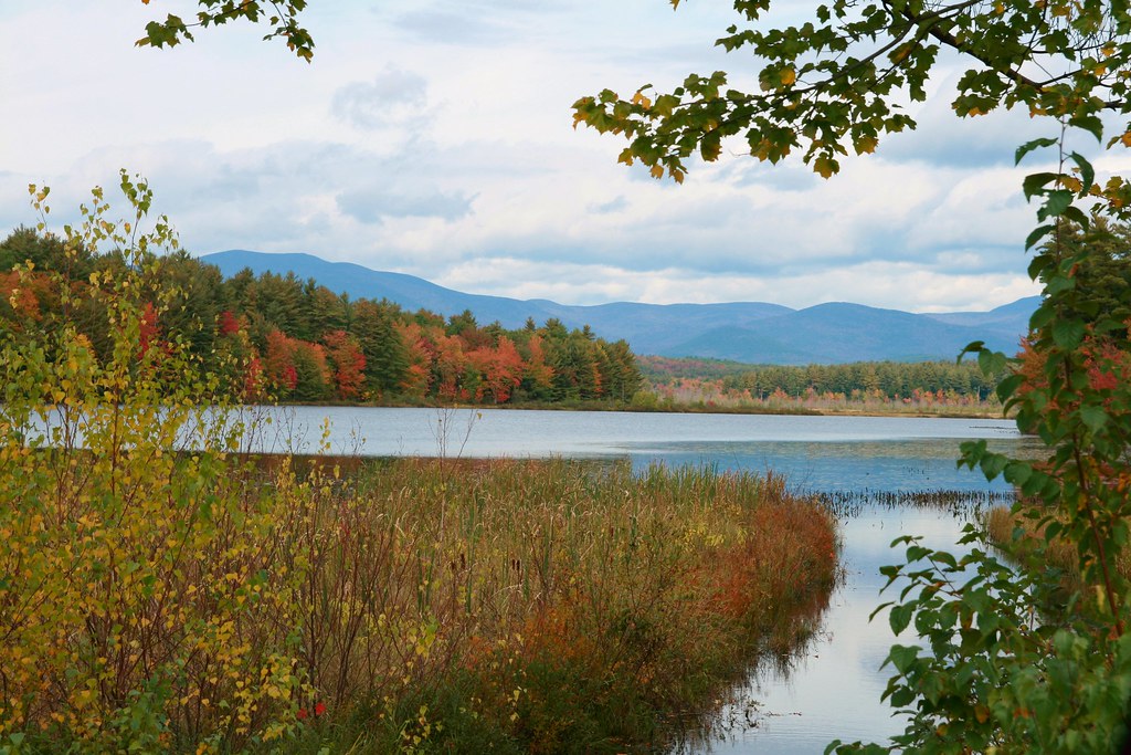
 Photo: massmatt, CC BY 2.0 (via Flickr)
- 1.4 mi
- one way
- 468 ft
- climb
- 1,226 ft
- high point
- Point to point
- route
- May–Oct
- best months
Shannon Brook Trail is an easy hike in New Hampshire, about 1.4 miles long with a total climb of 468 feet. It is a point-to-point route, and the highest point on the trail is 1,226 feet. The nearest town is Clark Landing, about 1.7 miles away. The trail is rated easy and takes about half an hour to complete. The climb begins at roughly 767 feet and reaches its high point around 1,226 feet. The steepest part is at about 0.26 miles in, with a grade of 16 percent. The trip also has a small loss of 179 feet at the end. Summer is the most comfortable time to go. Typical averages from a nearby weather station in Meredith run to highs around 81°F in July and 79°F in August, while winter highs stay near freezing. The trail sits close to several other spots. The Dark Crystal Area and The Dark Crystal Boulder climbing areas are within half a mile, and the Bald Knob Cut-Off and Brook Walk hikes are both about 0.8 miles away.
- Dark Crystal AreaRock climbing0.3 mi
- The Dark Crystal BoulderRock climbing0.5 mi
- Bald Knob Cut-OffHiking0.6 mi
- Oak Ridge TrailHiking0.8 mi
- Brook WalkHiking0.8 mi
 Pond TrailHikingPhoto: massmatt, CC BY 2.0 (via Flickr)1 mi
- Crag In The CloudsRock climbing1.5 mi
- The DomeRock climbing1.6 mi
Source: Roamze catalog (indexable pages within 10 miles, PostGIS distance)
- Pond TrailHiking · ~2 min drivePhoto: massmatt, CC BY 2.0 (via Flickr)
- Turtleback Mountain TrailHiking · ~2 min drivePhoto: massmatt, CC BY 2.0 (via Flickr)
- Eagle Cliff TrailHiking · ~13 min drive
- Bald Knob TrailHiking · ~2 min drivePhoto: massmatt, CC BY 2.0 (via Flickr)
- Mount Roberts TrailHiking · ~3 min drivePhoto: massmatt, CC BY 2.0 (via Flickr)
- Faraway Mountain TrailHiking · ~2 min drivePhoto: massmatt, CC BY 2.0 (via Flickr)
 Black Snout TrailHiking · ~4 min drivePhoto: walknboston, CC BY 2.0 (via Flickr)
 Melvin River TrailHiking · ~5 min drivePhoto: Unknown authorUnknown author, Public domain (via Wikimedia Commons)
- Mount Shaw TrailHiking · ~4 min drivePhoto: walknboston, CC BY 2.0 (via Flickr)
 Blue TrailHiking · ~8 min drivePhoto: BenFrantzDale, CC BY-SA 2.0 (via Flickr)
Best time to visit Shannon Brook Trail
Best months: May–October. Best months have typical highs of 55–85 °F, lows of 30 °F or warmer (32 °F where the station doesn't record snow), at most one snowy day and no more than 12 wet days.
Jan
29° / 13°
10 wet
Feb
32° / 15°
9 wet
Mar
41° / 23°
10 wet
Apr
54° / 34°
11 wet
May
67° / 45°
12 wet
Jun
75° / 55°
12 wet
Jul
81° / 60°
11 wet
Aug
79° / 59°
10 wet
Sep
71° / 52°
10 wet
Oct
58° / 40°
11 wet
Nov
45° / 30°
11 wet
Dec
34° / 21°
11 wet
Typical high / low (°F) and days with rain or snow, 1991–2020. Measured at Meredith 3 Nne, NH, 7.9 mi away at 861 ft. This station doesn't record snowfall. Source: NOAA NCEI U.S. Climate Normals 1991–2020.
Map and trail data © OpenStreetMap contributors
