River Run
 Photo: InAweofGod'sCreation, CC BY 2.0 (via Wikimedia Commons)
- 0.9 mi
- round trip
- 638 ft
- climb
- 52 ft
- high point
- Out and back
- route
- Jun–Oct
- best months
River Run is a short, easy hike in Vaughan Woods State Park in New Hampshire, managed by State Park and Recreation. The route is about 0.85 miles long and is rated easy, with a total elevation gain of about 60 feet. It is an out-and-back trail, roughly 1.7 miles round trip, and the steepest part comes at about 0.65 miles in, with a grade of about 19 percent. Late spring and early fall are the most comfortable times to go. Typical averages from a nearby weather station in Durham show September highs around 72°F with lows near 50°F, and May highs around 66°F. July is the warmest month, with highs near 81°F. The Bridle Path starts just 0.1 mile away. Across the state line in Maine, the Hemlock Trail, Johnson Land and Shorey Brook Loop are all about 3 miles off.
Best time to go · Jun–Oct
Best time to visit River Run
Best months: June–October. Best months have typical highs of 55–85 °F, lows of 30 °F or warmer (32 °F where the station doesn't record snow), at most one snowy day and no more than 12 wet days.
Jan
32° / 15°
11 wet
Feb
36° / 16°
11 wet
Mar
43° / 24°
12 wet
Apr
55° / 34°
13 wet
May
66° / 44°
13 wet
Jun
75° / 53°
12 wet
Jul
81° / 59°
12 wet
Aug
80° / 57°
11 wet
Sep
72° / 50°
9 wet
Oct
60° / 39°
11 wet
Nov
48° / 30°
11 wet
Dec
38° / 22°
13 wet
Typical high / low (°F) and days with rain or snow, 1991–2020. Measured at Durham 2 N, NH, 6.4 mi away at 119 ft. This station doesn't record snowfall. Source: NOAA NCEI U.S. Climate Normals 1991–2020.
Keep exploring — more trails worth the drive
Photo: InAweofGod'sCreation, CC BY 2.0 (via Wikimedia Commons)Bridle Path
Next door
Easy 1.23-mile out-and-back trail in New Hampshire.
HIKE
KWD/YWD - Yellow Trail
~10 min drive
5.12-mile out-and-back trail in Maine with 721 ft elevation gain
 Photo: Magicpiano, CC BY-SA 3.0 (via Wikimedia Commons)
Clement's Point Trail
~9 min drive
1.14-mile lollipop trail in New Hampshire with 260 ft gain.
HIKE
Norman Mill Trail
~10 min drive
2.68-mile out-and-back hike to Norman Mill in Maine with 171 ft gain.
Photo: Magicpiano, CC BY-SA 3.0 (via Wikimedia Commons)Pomeroy Cove Multiuse Path
~10 min drive
0.62-mile out-and-back multiuse path at Pomeroy Cove in New Hampshire.
HIKE
YWD/KWD - Silver Trail
~10 min drive
5.22-mile out-and-back trail in Maine with 567 ft elevation gain
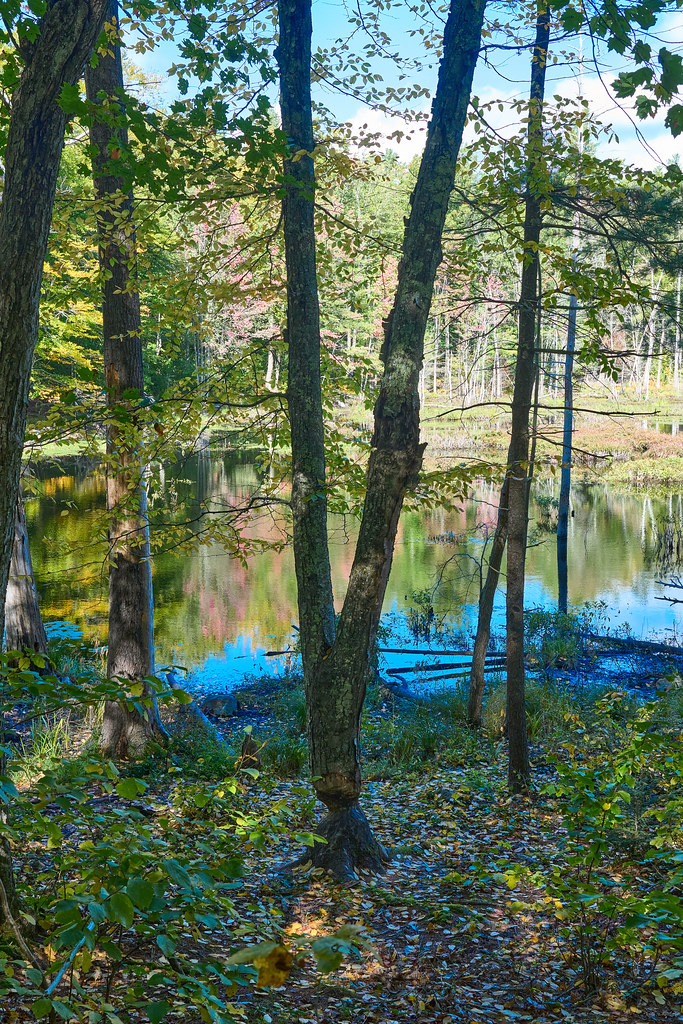 Photo: GOC53, CC BY 2.0 (via Flickr)
Checkerberry Trail
~11 min drive
0.65-mile out-and-back trail in Maine with 18 ft elevation gain.
HIKE
YWD - Red Trail
~11 min drive
5.66-mile out-and-back trail in Maine with 560 ft elevation gain
 Photo: GOC53, CC BY 2.0 (via Flickr)
Big Bump Trail
~12 min drive
0.33-mile out-and-back trail in Maine with 57 ft gain and 98 ft loss.
Photo: GOC53, CC BY 2.0 (via Flickr)Lachance Point Trail
~12 min drive
0.57-mile out-and-back trail with 209 ft elevation gain in Maine.
Map and trail data © OpenStreetMap contributors
