Parker Trail
- 0.9 mi
- round trip
- 395 ft
- climb
- 1,065 ft
- high point
- Out and back
- route
- Apr, Jun–Oct
- best months
Parker Trail is a short, easy hike in New Hampshire's Pisgah State Park, set within the Critria 1 lands of the park. The out-and-back route is about 1.8 miles long, with a total elevation gain of 395 feet, and it starts and ends at about 904 feet, reaching a high point of 1,065 feet. Summer and early fall are the most comfortable times to go. Typical averages from a nearby weather station in Keene put July highs around 82°F and September highs near 73°F, with winter bringing regular snow days from December through February. The trail takes about an hour to complete, and it pairs easily with other hikes in the park. Lily Pond Trail is about half a mile away, and Reservoir Trail and Pisgah Ridge Trail are within a mile. Climbers can find Pulpit Falls about 8 miles off.
- Lily Pond TrailHiking0.5 mi
- Reservoir TrailHiking0.7 mi
- Pisgah Ridge TrailHiking1.1 mi
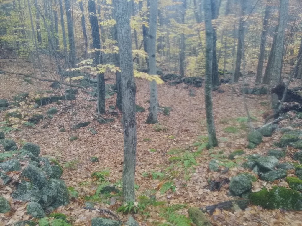 Fullam Pond TrailHikingPhoto: hannahlegacy, Public Domain Dedication (CC0) (via Flickr)1.2 mi
- Snowbrook TrailHiking1.2 mi
- Pulpit FallsRock climbing7.9 mi
- Broad BrookCanoeing8.8 mi
- Revolutionary War BoulderRock climbing9.1 mi
Source: Roamze catalog (indexable pages within 10 miles, PostGIS distance)
- Fullam Pond TrailHiking · ~2 min drivePhoto: hannahlegacy, Public Domain Dedication (CC0) (via Flickr)
 Anne Stokes Loop TrailHiking · ~7 min drivePhoto: aerugino, CC BY 2.0 (via Flickr)
- Kilburn LoopHiking · ~4 min drive
 Hubbard Hill TrailHiking · ~4 min drivePhoto: hannahlegacy, Public Domain Dedication (CC0) (via Flickr)
- Mine Ledge TrailHiking · ~9 min drivePhoto: aerugino, CC BY 2.0 (via Flickr)
- Ashuelot Rail TrailHiking · ~11 min drive
 Beal's Knob TrailHiking · ~4 min drivePhoto: hannahlegacy, Public Domain Dedication (CC0) (via Flickr)
- Reservoir TrailHiking · ~1 min drive
- Daniels Mountain TrailHiking · ~6 min drivePhoto: aerugino, CC BY 2.0 (via Flickr)
- Pisgah Ridge TrailHiking · ~2 min drive
Best time to visit Parker Trail
Best months: April and June–October. Best months have typical highs of 55–85 °F, lows of 30 °F or warmer (32 °F where the station doesn't record snow), at most one snowy day and no more than 12 wet days.
Jan
30° / 10°
11 wet · 7 snow
Feb
34° / 11°
10 wet · 6 snow
Mar
43° / 20°
11 wet · 5 snow
Apr
57° / 30°
11 wet · 1 snow
May
69° / 41°
13 wet
Jun
77° / 51°
12 wet
Jul
82° / 56°
12 wet
Aug
81° / 54°
10 wet
Sep
73° / 47°
10 wet
Oct
60° / 36°
11 wet
Nov
47° / 27°
11 wet · 2 snow
Dec
36° / 18°
12 wet · 6 snow
Typical high / low (°F) and days with rain or snow, 1991–2020. Measured at Keene, NH, 8.7 mi away at 511 ft. The station sits about 600 ft lower than this place, so expect it a little cooler here. Source: NOAA NCEI U.S. Climate Normals 1991–2020.
Map and trail data © OpenStreetMap contributors
