Camp Penacook Shelter
Campground
Campground · 2.9 mi from the trail
Caution at last check
Agency alerts are in effect for this area; weather is good · USFS, OpenWeather · checked 19 h ago
Closure in the area
There's a closure order in White Mountain National Forest. It doesn't name Old Paugus Trail, so check the source for the area it covers (2 listed).
Wild River Fire - Androscoggin Ranger District
Agency closure covering White Mountain National Forest · USFS · White Mountain National Forest
Rattlesnake Fire – Pemigewasset Ranger District
Agency closure covering White Mountain National Forest · USFS · White Mountain National Forest
Town Hall Road Camping and Fire Restrictions
Agency alert covering White Mountain National Forest · USFS · White Mountain National Forest
Lincoln Woods Trail Closure
Agency alert covering White Mountain National Forest · USFS · White Mountain National Forest
Forest Roads Status
Agency alert covering White Mountain National Forest · USFS · White Mountain National Forest
As of · Source: USFS · White Mountain National Forest. Agencies don't list every closure — check before you go.
Old Paugus Trail is a 4.9-mile out-and-back hike in the Sandwich Range Wilderness, part of the Saco Ranger District of the White Mountain National Forest in New Hampshire. The trail climbs from about 1,121 feet to a high point of 3,072 feet, with a total elevation gain of 2,381 feet over the course of the round trip. The steepest stretch comes at about 1.4 miles in, where the grade reaches 46 percent. The trail is natural-surfaced and not accessible. Bikes are not allowed. The Forest Service manages the land, and the route is open year-round. Plan for about three hours on foot. Several other routes sit close by. Bee Line Cut Off is 0.4 miles away and Bolles Cutoff SNOMO is 0.6 miles away. The Whitin Brook Trail is 0.7 miles off. For an overnight stay, White Ledge Campground is about 5 miles away.
Camp Penacook Shelter
Campground
Salyards Museum
Museum
Places © OpenStreetMap contributors, Places © Overture Maps Foundation
More in North Conway White Ledge CampgroundCampingPhoto: Recreation.gov (RIDB) / public domain5 mi
Source: Roamze catalog (indexable pages within 10 miles, PostGIS distance)
 Brook TrailHiking · ~4 min drivePhoto: DragonFire1024, CC BY 3.0 (via Wikimedia Commons)West Side TrailHiking · ~4 min drivePhoto: DragonFire1024, CC BY 3.0 (via Wikimedia Commons)
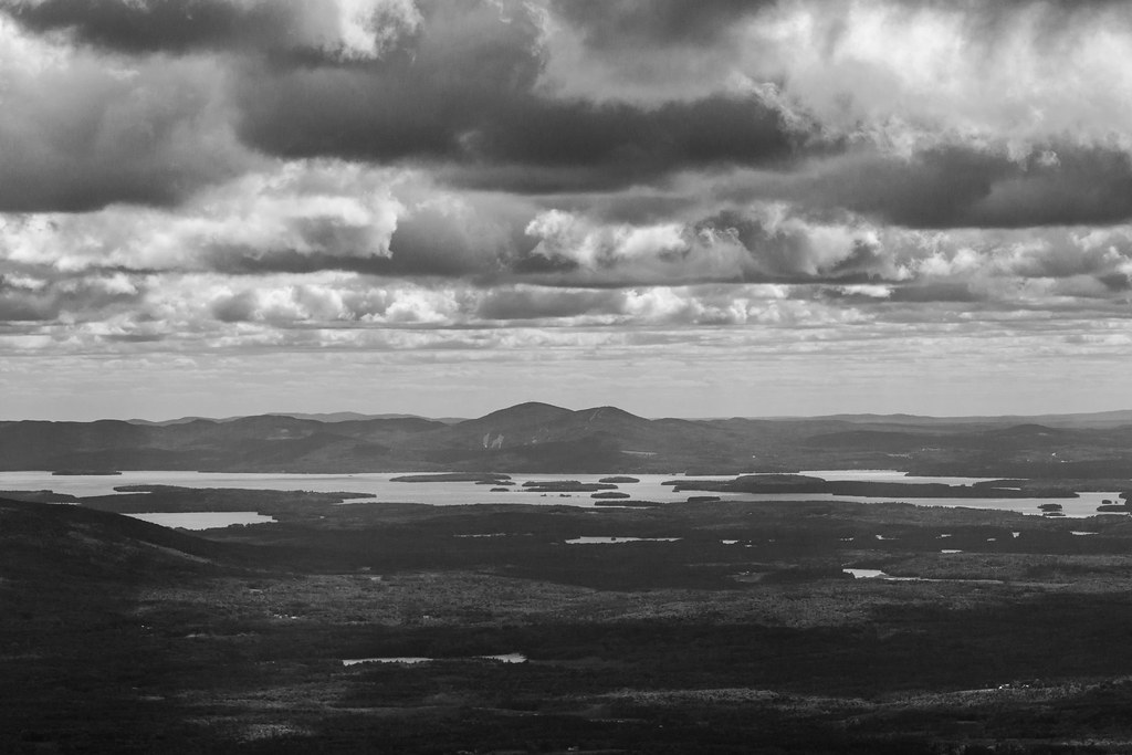 Passaconway CutoffHiking · ~6 min drivePhoto: timsackton, CC BY-SA 2.0 (via Flickr)Nickerson Ledge TrailHiking · ~6 min drivePhoto: DragonFire1024, CC BY 3.0 (via Wikimedia Commons)
Also worth it near here
 Mount ChocoruaSummit · ~4 min drivePhoto: No machine-readable author provided. JohnJHenderson~commonswiki assumed (based on copyright claims)., Public domain (via Wikimedia Commons)
