Rest N' Nest Campground
Campground
Campground · 2.6 mi from the trail
Hoopes' Loop is a short, easy loop hike in northern New Hampshire, about 1.9 miles from East Thetford, Vermont. The route is roughly 1.2 miles long, with a total elevation gain of 252 feet and a total loss of 259 feet, so it works well as a quick outing or a warm-up before heading to other spots in the area. The trail is a rolling loop, and the steepest part comes at about 0.79 miles in, with a grade of 7%. The high point is 672 feet, and the low point is 591 feet, so the climb is gentle and the route stays within a small range of elevation. Summer is the most comfortable time to go. Typical averages from the nearby Union Village Dam weather station in Vermont show July highs around 82°F and lows near 57°F, while September cools to highs in the low 70s. Lyme Hill, a climbing area, is less than a mile away, and the Grant Brook Trail and Big Rock Trail are both within about 2 miles. For an overnight stay, Trapper John Shelter is about 3.6 miles off.
Rest N' Nest Campground
Campground
 If it rainsDaderot, CC0 · Wikimedia Commons
Places © OpenStreetMap contributors, Places © Overture Maps Foundation · Photos: Daderot, CC0 (commons)
More in Bradford Mink BrookCanoeingPhoto: Ken Gallager at en.wikipedia, CC BY-SA 3.0 (via Wikimedia Commons)6.7 mi
Source: Roamze catalog (indexable pages within 10 miles, PostGIS distance)
 Torrey's TrailHiking · ~5 min drivePhoto: Magicpiano, CC BY-SA 3.0 (via Wikimedia Commons)
 Mimi's TrailHiking · ~6 min drivePhoto: Magicpiano, CC BY-SA 3.0 (via Wikimedia Commons)
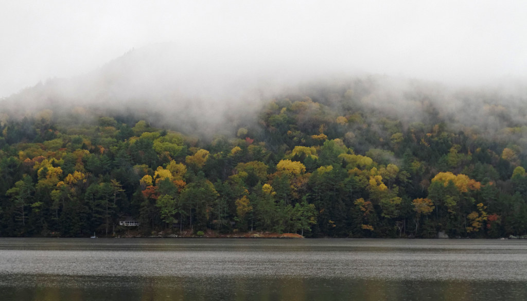 Pike's Passage trailHiking · ~6 min drivePhoto: KimonBerlin, CC BY-SA 2.0 (via Flickr)
 Black Bear Loop TrailHiking · ~6 min drivePhoto: Šarūnas Burdulis from USA, CC BY-SA 2.0 (via Wikimedia Commons)
 The Glebe TrailHiking · ~6 min drivePhoto: Magicpiano, CC BY-SA 3.0 (via Wikimedia Commons)The Glebe TrailHiking · ~6 min drivePhoto: Magicpiano, CC BY-SA 3.0 (via Wikimedia Commons)Fireplace TrailHiking · ~6 min drivePhoto: Magicpiano, CC BY-SA 3.0 (via Wikimedia Commons)Grumman's Grove trailHiking · ~6 min drivePhoto: KimonBerlin, CC BY-SA 2.0 (via Flickr)Gold TrailHiking · ~6 min drivePhoto: Magicpiano, CC BY-SA 3.0 (via Wikimedia Commons)
Best months: August–October. Best months have typical highs of 55–85 °F, lows of 30 °F or warmer (32 °F where the station doesn't record snow), at most one snowy day and no more than 12 wet days.
Jan
29° / 6°
11 wet
Feb
32° / 8°
10 wet
Mar
41° / 18°
11 wet
Apr
55° / 29°
11 wet
May
68° / 42°
14 wet
Jun
77° / 52°
14 wet
Jul
82° / 57°
14 wet
Aug
81° / 55°
12 wet
Sep
73° / 47°
10 wet
Oct
59° / 36°
12 wet
Nov
46° / 26°
11 wet
Dec
34° / 16°
13 wet
Typical high / low (°F) and days with rain or snow, 1991–2020. Measured at Union Village Dam, VT, 3.8 mi away at 460 ft. This station doesn't record snowfall. Source: NOAA NCEI U.S. Climate Normals 1991–2020.
Map and trail data © OpenStreetMap contributors
