Gateway Trail
 Photo: U.S. Army Corps of Engineers, photographer not specified or unknown, Public domain (via Wikimedia Commons)
- 1.0 mi
- round trip
- 307 ft
- climb
- 492 ft
- high point
- Out and back
- route
- Apr–Oct
- best months
The Gateway Trail is an easy, out-and-back hike of about 2 miles with a total elevation gain of about 300 feet, set within the Hopkinton-Everett Flood Control Reservoir in New Hampshire. The State Department of Natural Resources manages the land, and the trail starts at an elevation of about 457 feet, reaching a high point of roughly 492 feet before returning to the start. The climb is steady, with the steepest stretch at about 0.4 miles in, and the trail is close to the Elm Brook Park Rec Area, which sits about 0.2 miles away. Late spring through early fall is the most comfortable stretch for a visit. Typical averages from the nearby Hopkinton Lake weather station put June highs around 77°F and September highs around 74°F, with July the warmest month at about 82°F. The trip takes about an hour, and the route is best planned as a short outing rather than a long day. Sharpes Farm Trail lies about a mile away, and the Orange Loop and Little Tooky Trail are both within about 3 miles. For fishing, the Contoocook River is roughly 3.3 miles from the trail.
- Elm Brook Park Rec AreaCamping0.2 mi
- Sharpes Farm TrailHiking1 mi
 Orange LoopHikingPhoto: daveynin, CC BY 2.0 (via Flickr)2.5 mi
- Little Tooky TrailHiking2.7 mi
- Contoocook RiverRiver fishing3.3 mi
- The Cliff BouldersRock climbing7.4 mi
- Mammoth Rock AreaRock climbing7.4 mi
- Merrimack RiverRiver fishing9.9 mi
Source: Roamze catalog (indexable pages within 10 miles, PostGIS distance)
- Orange LoopHiking · ~4 min drivePhoto: daveynin, CC BY 2.0 (via Flickr)
- Sugar Hill LoopHiking · ~10 min drive
- Sweatt Preserve Nature TrailHiking · ~5 min drivePhoto: daveynin, CC BY 2.0 (via Flickr)
- Carter HillHiking · ~11 min drive
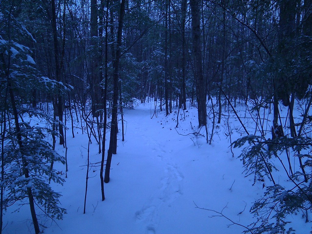 Cross-Country CourseHiking · ~14 min drivePhoto: dawhitfield, CC BY-SA 2.0 (via Flickr)
- Lower School Pond TrailHiking · ~12 min drive
- Sharpes Farm TrailHiking · ~2 min drive
- Mnt Wallingford TrailHiking · ~13 min drive
- Little Tooky TrailHiking · ~5 min drive
- Swope Winant Connector TrailHiking · ~13 min drive
Best time to visit Gateway Trail
Best months: April–October. Best months have typical highs of 55–85 °F, lows of 30 °F or warmer (32 °F where the station doesn't record snow), at most one snowy day and no more than 12 wet days.
Jan
32° / 13°
Feb
36° / 11°
Mar
43° / 20°
Apr
57° / 32°
May
69° / 43°
Jun
77° / 52°
Jul
82° / 58°
Aug
81° / 56°
Sep
74° / 47°
Oct
60° / 37°
Nov
47° / 28°
Dec
37° / 19°
Typical high / low (°F) and days with rain or snow, 1991–2020. Measured at Hopkinton Lake, NH, 1 mi away at 430 ft. This station doesn't record snowfall. Source: NOAA NCEI U.S. Climate Normals 1991–2020.
Map and trail data © OpenStreetMap contributors
