Green Meadow Camping Area
Campground
Campground · 2.5 mi from the trail
Ellis River Trail is a moderate 6.8-mile out-and-back hike in southern New Hampshire, about 0.7 miles from the community of Ducks Head. The route rises steadily to a high point of 930 feet, with a total elevation gain of 840 feet over the course of the round trip. The steepest stretch comes at about 1.3 miles in, where the grade reaches 14 percent. Summer and early fall are the most comfortable times to go. Typical averages from a nearby weather station in N Conway show July highs around 81°F and September highs near 72°F, with winter bringing highs in the 30s and regular snow from December through February. The trail pairs easily with other outings in the area. The Ellis River, a fishing spot, lies half a mile away, and Jackson Crag offers climbing at about 0.7 miles. Eagle Mountain Trail is also 0.7 miles off, and Betty Whitney Trail, a cross-country ski route, is about 1.3 miles away.
Green Meadow Camping Area
Campground
 If it rainsKen Gallager, CC BY-SA 4.0 · Wikimedia Commons
Places © OpenStreetMap contributors · Photos: Ken Gallager, CC BY-SA 4.0 (commons)
More in North Conway Doublehead CabinCampingPhoto: Recreation.gov (RIDB) / public domain3.6 mi
 Black Mountain CabinCampingPhoto: Recreation.gov (RIDB) / public domain3.6 mi
Source: Roamze catalog (indexable pages within 10 miles, PostGIS distance)
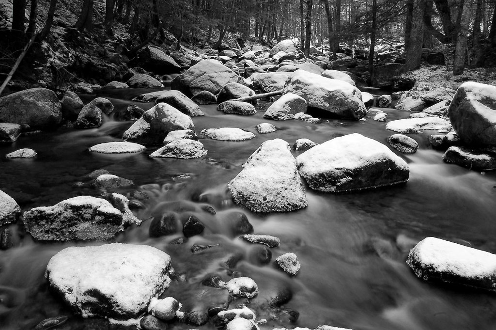 Ellis River TrailHiking · ~2 min drivePhoto: DACphoto, CC BY 2.0 (via Flickr)
 Bartlett Mountain TrailHiking · ~9 min drivePhoto: gotjen, CC BY 3.0 (via Wikimedia Commons)
 Pasture TrailHiking · ~9 min drivePhoto: Magicpiano, CC BY-SA 4.0 (via Wikimedia Commons)
 Red Ridge TrailHiking · ~10 min drivePhoto: dgjarvis10@gmail.com, CC BY-SA 2.0 (via Flickr)
Best months: August–October. Best months have typical highs of 55–85 °F, lows of 30 °F or warmer (32 °F where the station doesn't record snow), at most one snowy day and no more than 12 wet days.
Jan
30° / 10°
11 wet · 9 snow
Feb
33° / 11°
9 wet · 8 snow
Mar
42° / 20°
11 wet · 7 snow
Apr
55° / 31°
11 wet · 2 snow
May
68° / 43°
13 wet
Jun
76° / 53°
14 wet
Jul
81° / 58°
13 wet
Aug
80° / 56°
12 wet
Sep
72° / 48°
11 wet
Oct
59° / 37°
12 wet
Nov
46° / 27°
12 wet · 3 snow
Dec
36° / 18°
12 wet · 8 snow
Typical high / low (°F) and days with rain or snow, 1991–2020. Measured at N Conway, NH, 7.2 mi away at 522 ft. Source: NOAA NCEI U.S. Climate Normals 1991–2020.
Map and trail data © OpenStreetMap contributors

