Clark Trail
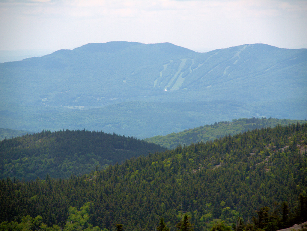 Photo: Šarūnas Burdulis, CC BY-SA 2.0 (via Flickr)
- 1.8 mi
- round trip
- 1,627 ft
- climb
- 3,122 ft
- high point
- Out and back
- route
Clark Trail is a 1.78-mile moderate hike in Cardigan Mountain State Forest in New Hampshire, managed by the State Department of Natural Resources. The trail is an out-and-back route that starts at about 2,900 feet and climbs to a high point of 3,122 feet, with a total gain of 1,627 feet over the round trip. The climb is back-loaded, so the second half of the hike is the steeper part. Several other trails sit right beside it. South Ridge Trail, Hurricane Gap Trail and Holt Trail are each about 0.1 mile away, and Alexandria Ski Trail is about 0.3 mile off. For paddling, Indian River is about 5 miles away.
- South Ridge TrailHikingPhoto: Šarūnas Burdulis, CC BY-SA 2.0 (via Flickr)0.1 mi
 Hurricane Gap TrailHikingPhoto: Šarūnas Burdulis, CC BY-SA 2.0 (via Flickr)0.1 mi
 Holt TrailHikingPhoto: Šarūnas Burdulis from USA, CC BY-SA 2.0 (via Wikimedia Commons)0.1 mi
 Mowglis TrailHikingPhoto: Šarūnas Burdulis from USA, CC BY-SA 2.0 (via Wikimedia Commons)0.1 mi
- Alexandria Ski TrailHikingPhoto: Šarūnas Burdulis, CC BY-SA 2.0 (via Flickr)0.3 mi
- Indian RiverCanoeing4.9 mi
- Smith RiverCanoeing6.6 mi
 Newfound RiverCanoeingPhoto: Ken Gallager at en.wikipedia, Public domain (via Wikimedia Commons)9.2 mi
Source: Roamze catalog (indexable pages within 10 miles, PostGIS distance)
- Hurricane Gap TrailHiking · Next doorPhoto: Šarūnas Burdulis, CC BY-SA 2.0 (via Flickr)
- Holt TrailHiking · Next doorPhoto: Šarūnas Burdulis from USA, CC BY-SA 2.0 (via Wikimedia Commons)
 Kimball Ski TrailHiking · ~1 min drivePhoto: Šarūnas Burdulis from USA, CC BY-SA 2.0 (via Wikimedia Commons)
- Mowglis TrailHiking · Next doorPhoto: Šarūnas Burdulis from USA, CC BY-SA 2.0 (via Wikimedia Commons)
- Manning TrailHiking · ~1 min drivePhoto: Šarūnas Burdulis from USA, CC BY-SA 2.0 (via Wikimedia Commons)
 Bailey Brook Ski TrailHiking · ~2 min drivePhoto: Šarūnas Burdulis from USA, CC BY-SA 2.0 (via Wikimedia Commons)
- Alexandria Ski TrailHiking · Next doorPhoto: Šarūnas Burdulis, CC BY-SA 2.0 (via Flickr)
- Nature TrailHiking · ~3 min drivePhoto: Šarūnas Burdulis from USA, CC BY-SA 2.0 (via Wikimedia Commons)
- Cathedral Forest TrailHiking · ~1 min drivePhoto: Šarūnas Burdulis, CC BY-SA 2.0 (via Flickr)
 Woodland TrailHiking · ~3 min drivePhoto: Šarūnas Burdulis from USA, CC BY-SA 2.0 (via Wikimedia Commons)

Route details
- Distance
- 1.8 mi round trip
- Climbing
- About 1,627 ft
- Summit
- 3,148 ft
- Difficulty
- Moderate
- Time
- About 1 hour
Other routes up Mount Cardigan
Questions about this route
How long is the Clark Trail on Mount Cardigan?
About 1.8 mi round trip.
How much elevation gain is on the Clark Trail?
About 1,627 ft of climbing round trip.
How hard is the Clark Trail?
It is rated moderate.
How long does the Clark Trail take?
About 1 hour round trip.
How many routes go up Mount Cardigan?
4: West Ridge Trail, Holt Trail, Mowglis Trail and Clark Trail.
Conditions and forecast on Mount Cardigan
Daily highs and lows, wind and the chance of precipitation at the summit and route start for the next 7 days, from the Open-Meteo model.
Map and trail data © OpenStreetMap contributors
