Blue Brook Tentsite
Campground
Campground · 0.4 mi from the trail
Closure in the area
There's a closure order in White Mountain National Forest. It doesn't name Black Angel, so check the source for the area it covers (2 listed).
Wild River Fire - Androscoggin Ranger District
Agency closure covering White Mountain National Forest · USFS · White Mountain National Forest
Rattlesnake Fire – Pemigewasset Ranger District
Agency closure covering White Mountain National Forest · USFS · White Mountain National Forest
Town Hall Road Camping and Fire Restrictions
Agency alert covering White Mountain National Forest · USFS · White Mountain National Forest
Lincoln Woods Trail Closure
Agency alert covering White Mountain National Forest · USFS · White Mountain National Forest
Forest Roads Status
Agency alert covering White Mountain National Forest · USFS · White Mountain National Forest
As of · Source: USFS · White Mountain National Forest. Agencies don't list every closure — check before you go.
Black Angel is a hard hike in the Androscoggin Ranger District of the White Mountain National Forest in New Hampshire. The route is an out-and-back of about 15.4 miles, with a total elevation gain of 4,989 feet. The climb starts at roughly 1,990 feet and reaches a high point of about 4,600 feet. The Forest Service manages the land, and the trail is not accessible. It is a natural-surface route, and bikes are not allowed. The route is open year-round, and the estimated time for the trip is about 7.5 hours. The steepest stretch comes at about 5.5 miles in, with a grade of around 42 percent. The Basin Trail lies just 0.1 mile away, and Wild River Crag, a climbing area, is about half a mile off. Basin Rim and the Meader Ridge Trail are each about a mile away.
Blue Brook Tentsite
Campground
Museum of White Mountain Art / Jackson Historical Society
Museum
Places © OpenStreetMap contributors
More in North ConwayDaily highs and lows, wind and the chance of precipitation at the summit and route start for the next 7 days, from the Open-Meteo model.
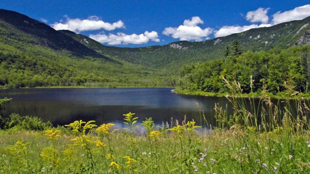 Basin CampgroundCampingPhoto: Recreation.gov (RIDB) / public domain1.7 mi
Source: Roamze catalog (indexable pages within 10 miles, PostGIS distance)
 Overlook LoopHiking · ~6 min drivePhoto: Me in ME, CC BY 2.0 (via Flickr)
 Deer Hills TrailHiking · ~7 min drivePhoto: Paul VanDerWerf from Brunswick, Maine, USA, CC BY 2.0 (via Wikimedia Commons)White Cairn TrailHiking · ~6 min drivePhoto: Me in ME, CC BY 2.0 (via Flickr)Stone House TrailHiking · ~7 min drivePhoto: Paul VanDerWerf from Brunswick, Maine, USA, CC BY 2.0 (via Wikimedia Commons)Shell Pond LoopHiking · ~7 min drivePhoto: Me in ME, CC BY 2.0 (via Flickr)
Season: Year-round.
About 15.4 mi round trip.
About 4,989 ft of climbing round trip.
It is rated hard.
About 7 hours round trip.
Year-round.
