Belknap Range Trail
 Photo: KimonBerlin, CC BY-SA 2.0 (via Flickr)
- 10.1 mi
- one way
- 3,810 ft
- climb
- 2,381 ft
- high point
- Point to point
- route
- May–Oct
- best months
The Belknap Range Trail is a hard hike in New Hampshire, starting about 0.2 miles from the town of Mount Major. It is a point-to-point route of about 10 miles, with a total elevation gain of 3,810 feet, taking you from a starting point at about 708 feet to a high point of 2,381 feet. Summer is the most comfortable time to go. Typical averages from a nearby weather station in Meredith run to highs around 81°F in July, and the station sits roughly 1,500 feet lower than the trail's high point, so temperatures on the summit run cooler. The trail is not open to bikes or horses. Several other hikes lie close by, including the Jesus Valley - Beaver Pond Trail about 0.4 miles away and the Brook Trail about 0.6 miles away. Climbers can find Rines Hill about 4.9 miles off, and paddlers can reach the Suncook River about 9.5 miles away.
- Jesus Valley - Beaver Pond TrailHiking0.4 mi
- Brook TrailHiking0.6 mi
 Langille Sno-Mo TrailHikingPhoto: massmatt, CC BY 2.0 (via Flickr)1.3 mi
- Fort Point TrailHiking1.5 mi
- Rines HillRock climbing4.9 mi
- The Outback WallRock climbing5.1 mi
- The Land of OverhangsRock climbing5.1 mi
 Suncook RiverCanoeingPhoto: Ken Gallager at en.wikipedia, CC BY-SA 3.0 (via Wikimedia Commons)9.5 mi
Source: Roamze catalog (indexable pages within 10 miles, PostGIS distance)
- Langille Sno-Mo TrailHiking · ~2 min drivePhoto: massmatt, CC BY 2.0 (via Flickr)
 Precipice Path East (Purple)Hiking · ~3 min drivePhoto: isforinsects, CC BY-SA 2.0 (via Flickr)
 Straightback Mountain TrailHiking · ~3 min drivePhoto: massmatt, CC BY 2.0 (via Flickr)
- Boulder Loop TrailHiking · ~1 min drive
- Dave Roberts Quarry Trail (White)Hiking · ~3 min drivePhoto: isforinsects, CC BY-SA 2.0 (via Flickr)
- Precipice Path West (Purple)Hiking · ~4 min drive
 Ridge TrailHiking · ~5 min drivePhoto: Ladycliff, CC BY 2.0 (via Flickr)
- Blueberry Pasture Trail (MMSC Trail-E)Hiking · ~4 min drive
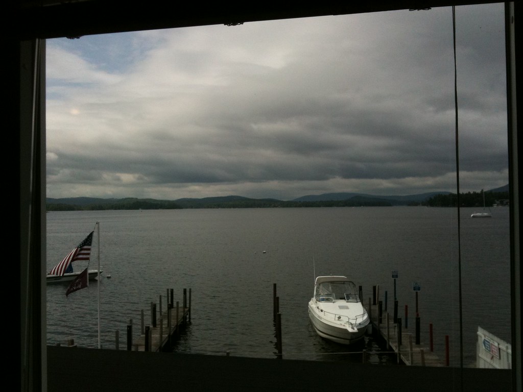 Boulder TrailHiking · ~8 min drivePhoto: p_x_g, CC BY 2.0 (via Flickr)
- Anna-Goat (Red)Hiking · ~4 min drive
Best time to visit Belknap Range Trail
Best months: May–October. Best months have typical highs of 55–85 °F, lows of 30 °F or warmer (32 °F where the station doesn't record snow), at most one snowy day and no more than 12 wet days.
Jan
29° / 13°
10 wet
Feb
32° / 15°
9 wet
Mar
41° / 23°
10 wet
Apr
54° / 34°
11 wet
May
67° / 45°
12 wet
Jun
75° / 55°
12 wet
Jul
81° / 60°
11 wet
Aug
79° / 59°
10 wet
Sep
71° / 52°
10 wet
Oct
58° / 40°
11 wet
Nov
45° / 30°
11 wet
Dec
34° / 21°
11 wet
Typical high / low (°F) and days with rain or snow, 1991–2020. Measured at Meredith 3 Nne, NH, 15.6 mi away at 861 ft. The station sits about 1,500 ft lower than this place, so expect it a little cooler here. This station doesn't record snowfall. Source: NOAA NCEI U.S. Climate Normals 1991–2020.
Route details
- Distance
- 10.1 mi
- Climbing
- About 3,810 ft
- Summit
- 2,382 ft
- Difficulty
- Hard
- Time
- About 5.5 hours
Other routes up Belknap Mountain
Questions about this route
How long is the Belknap Range Trail on Belknap Mountain?
About 10.1 mi.
How much elevation gain is on the Belknap Range Trail?
About 3,810 ft of climbing round trip.
How hard is the Belknap Range Trail?
It is rated hard.
How long does the Belknap Range Trail take?
About 5.5 hours round trip.
How many routes go up Belknap Mountain?
4: Warden's Trail, Red Trail, White Trail and Belknap Range Trail.
Conditions and forecast on Belknap Mountain
Daily highs and lows, wind and the chance of precipitation at the summit and route start for the next 7 days, from the Open-Meteo model.
Map and trail data © OpenStreetMap contributors
