Aweille En Haut
- 0.4 mi
- round trip
- 393 ft
- climb
- Out and back
- route
- Easy
- difficulty
- May–Sep
- best months
Aweille En Haut is a short, out-and-back trail in New Hampshire that covers about 0.38 miles. The route is compact, but it is a demanding one, with a total climb of about 393 feet and a steep section near the start that reaches a grade of about 11 percent. The high point is around 2,210 feet, and the trail is best suited for experienced hikers ready for difficult terrain. The nearest town is East Richford, Vermont, about 5.8 miles away. The trail is an intense but achievable adventure for those seeking a strenuous outing in New Hampshire. Summer is the most comfortable time to go. Typical averages from a nearby weather station at Jay Peak, Vermont, show July highs around 74°F with lows near 56°F, while winter highs there stay in the 20s. Piste d'Ascension, a ski touring route, is about 0.6 miles away. Sentier De L'estrie, Zone Sutton, Accès is about 1.5 miles off, and Parc De L'environnement Naturel De Sutton is about 2.4 miles away. Sentier De L'estrie, Mont éCho is about 3.6 miles from the trail.
- Piste d'AscensionSki touring0.6 mi
- Sentier De L'estrie, Zone Sutton, AccèsHiking1.5 mi
- Parc De L'environnement Naturel De SuttonHiking2.4 mi
- Sentier De L'estrie, Zone éCho, Point De Vue Mont éChoHiking3.6 mi
- Sentier De L'estrie, Mont éChoHiking3.6 mi
- Sentier De L'estrie, Zone éCho, Accès Chemi De La FalaiseHiking3.7 mi
- Sentier De L'estrie, Zone éChoHiking4.2 mi
- Sentier Des Sommets (Sud)Hiking5.3 mi
Source: Roamze catalog (indexable pages within 10 miles, PostGIS distance)
 Big Jay herd pathHiking · ~20 min drivePhoto: From the nek, CC BY-SA 3.0 (via Wikimedia Commons)
- Long TrailHiking · ~22 min drivePhoto: From the nek, CC BY-SA 3.0 (via Wikimedia Commons)
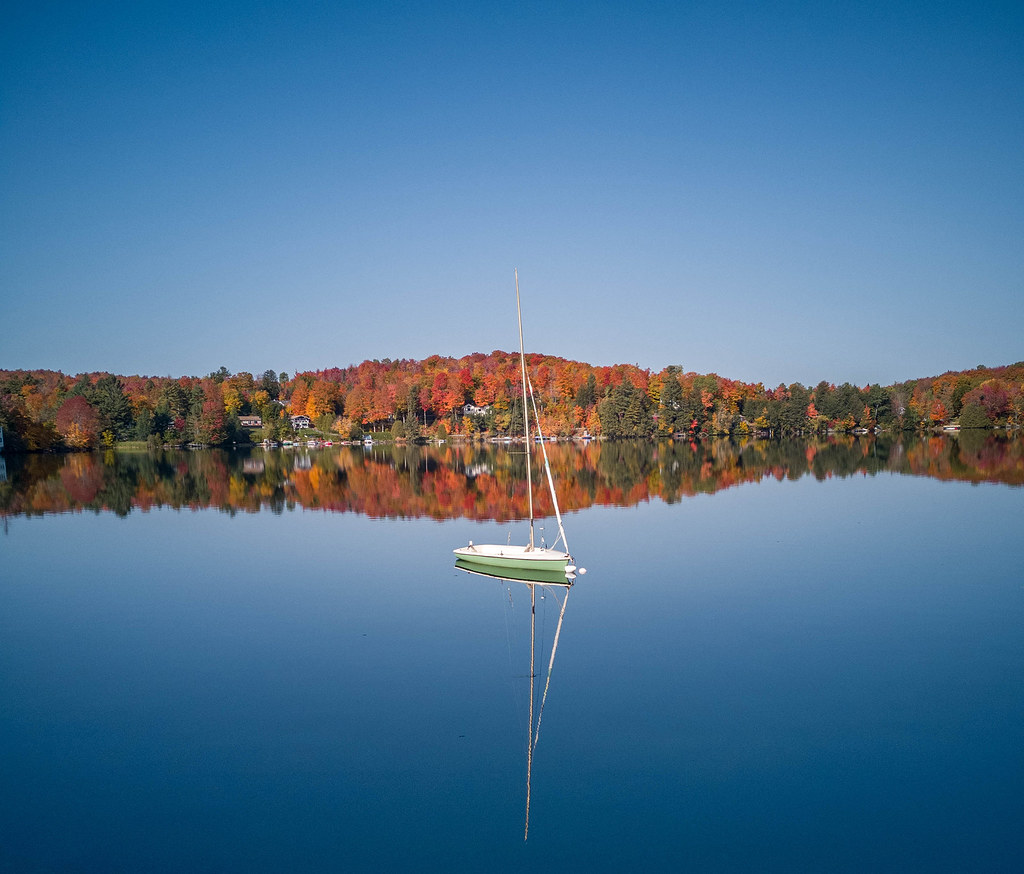 Sentier De L'estrie, Zone OrfordHiking · ~35 min drivePhoto: MCdeMtl, CC BY-SA 2.0 (via Flickr)
- Aweille en BasHiking · Next door
- Forester's TrailHiking · ~36 min drive
- Jay LoopHiking · ~22 min drivePhoto: From the nek, CC BY-SA 3.0 (via Wikimedia Commons)
- Sentier De L'estrie, Zone Sutton, AccèsHiking · ~3 min drive
- Tricoté SerréHiking · Next door
 Larry's LoopHiking · ~35 min drivePhoto: Roman Eugeniusz, CC BY-SA 3.0 (via Wikimedia Commons)
- Parc De L'environnement Naturel De SuttonHiking · ~4 min drive
Also worth it near here
- La RivièreCross-country skiing · ~1 min drive
- Huttopia SuttonCamping · ~2 min drive
 Round TopSummit · ~2 min drivePhoto: Richard Coté, CC BY-SA 4.0 (via Wikimedia Commons)
- Lac CliffLake fishing · ~7 min drive
 Jay Peak ResortDownhill skiing · ~19 min drivePhoto: Hanumanix at English Wikipedia, Public domain (via Wikimedia Commons)
Best time to visit Aweille En Haut
Best months: May–September. Best months have typical highs of 55–85 °F, lows of 30 °F or warmer (32 °F where the station doesn't record snow), at most one snowy day and no more than 12 wet days.
Jan
24° / 4°
Feb
25° / 6°
Mar
34° / 15°
Apr
46° / 28°
May
61° / 41°
Jun
70° / 51°
Jul
74° / 56°
Aug
72° / 54°
Sep
66° / 46°
Oct
52° / 35°
Nov
39° / 24°
Dec
29° / 13°
Typical high / low (°F) and days with rain or snow, 1991–2020. Measured at Jay Peak, VT, 11.2 mi away at 1,840 ft. This station doesn't record snowfall. Source: NOAA NCEI U.S. Climate Normals 1991–2020.
Map and trail data © OpenStreetMap contributors
