Concours Parts & Accessories
Campground
Campground · 2.6 mi from the trail
Clear at last check
Weather is good · OpenWeather · checked 12 h ago
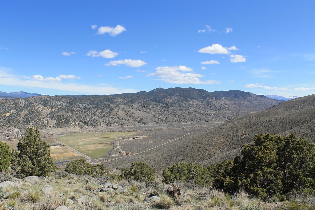
Mexican Ditch Trail is a short, easy mountain biking route in Nevada, about 1.1 miles from the town of Pinyon Hills. It is listed at 0.72 miles one way, and riding out and back covers about 1.4 miles. The ride is nearly flat. The route stays between roughly 4,620 and 4,630 feet, with a one-way gain listed as zero. The steepest stretch, around half a mile in, reaches only about a 2 percent grade. That makes it a gentle option for newer riders or anyone after a quick, relaxed spin. Spring and fall are the most comfortable times to ride. Typical averages from the nearby Carson City weather station show May highs around 70°F and October highs near 68°F, while July averages about 90°F. Several other trails start close by. Riverview Trail is 0.2 miles away and Eagle Valley Trail is 0.4 miles away. Prison Hill, a climbing area, is about 2 miles off, and Washoe Lake State Park Campground is roughly 6 miles away.
Concours Parts & Accessories
Campground
Places © OpenStreetMap contributors
More in Sunnyside-Tahoe CityNot on Roamze yet. Their page has how to reach them.
Best months: March–June and September–October. Best months have typical highs of 55–85 °F, lows of 30 °F or warmer (32 °F where the station doesn't record snow), at most one snowy day and no more than 12 wet days.
Jan
45° / 24°
6 wet · 2 snow
Feb
50° / 27°
6 wet · 1 snow
Mar
56° / 32°
5 wet · 1 snow
Apr
62° / 36°
3 wet
May
70° / 43°
3 wet
Jun
81° / 49°
2 wet
Jul
90° / 55°
1 wet
Aug
88° / 53°
1 wet
Sep
81° / 46°
1 wet
Oct
68° / 36°
2 wet
Nov
55° / 28°
3 wet · 1 snow
Dec
45° / 24°
5 wet · 1 snow
Typical high / low (°F) and days with rain or snow, 1991–2020. Measured at Carson City, NV, 3.6 mi away at 4,761 ft. Source: NOAA NCEI U.S. Climate Normals 1991–2020.
 Photo: AT2663, CC BY-SA 3.0 (via Wikimedia Commons)
Tahoe Rim Trail
~16 min drive
0.33-mile out-and-back singletrack in Nevada with 19 ft of elevation gain.
RIDE
Rocky Trail
~5 min drive
2.50-mile out-and-back trail in Nevada with 617 ft elevation gain.
RIDE
Capital to Tahoe
~10 min drive
10.11-mile out-and-back trail in Nevada with 2,010 ft elevation gain
Photo: AT2663, CC BY-SA 3.0 (via Wikimedia Commons)Tahoe Rim Trail
~17 min drive
0.82-mile easy singletrack out-and-back in Nevada with 74 ft elevation gain.
RIDE
New Connector
~5 min drive
0.38-mile moderate out-and-back trail in Nevada with 240 ft elevation gain.
RIDE
Clear Creek Extension
~13 min drive
7.92-mile out-and-back trail in Nevada with 372 ft elevation gain.
Photo: AT2663, CC BY-SA 3.0 (via Wikimedia Commons)Tahoe Rim Trail
~18 min drive
0.93-mile easy singletrack out-and-back with 276 ft gain in Nevada
RIDE
Red House Flume Trail
~16 min drive
0.29-mile out-and-back singletrack in Nevada with 203 ft of elevation gain.
RIDE
Riverview Trail
Next door
Easy mixed-surface trail in Nevada, rated IMBA Green Circle.
RIDE
Snapdragon Trail
~18 min drive
1.01-mile out-and-back singletrack in Nevada with 534 ft elevation gain
Map and trail data © OpenStreetMap contributors