Trail 1 (Main Loop)
- 14.7 mi
- loop
- 744 ft
- climb
- 2,018 ft
- high point
- Loop
- route
- Oct–Apr
- best months
Trail 1 (Main Loop) is a 14.7-mile hike on Bureau of Land Management land in the Las Vegas Field Office, about 1800 feet in elevation. The route gains 744 feet in total, with the high point at 2018 feet and the low at 1693 feet. The steepest stretch comes at about 1.8 miles, with a grade of about 6 percent. The hike is rated hard. Spring and fall are the most comfortable times to go. Typical averages from a nearby weather station at Valley of Fire show March highs around 71°F and October highs around 83°F, while July averages climb to about 105°F. The trip is estimated to take about 5.5 hours. Duck Rock and the petroglyphs near Duck Rock are each about a mile away. Fire Wave Trail is about 2.2 miles off, and Muddy River, a canoeing spot, is roughly 8.7 miles away.
Local outfitters
- Orchard RV Park35 mi away
Not on Roamze yet. Their page has how to reach them.
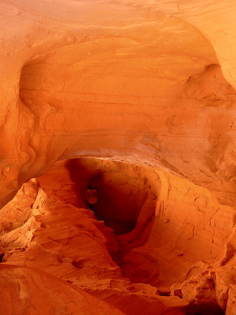 Duck RockHikingPhoto: Juhele_CZ, Public Domain Dedication (CC0) (via Flickr)1.2 mi
- Petroglyphs near Duck RockHikingPhoto: Juhele_CZ, Public Domain Dedication (CC0) (via Flickr)1.3 mi
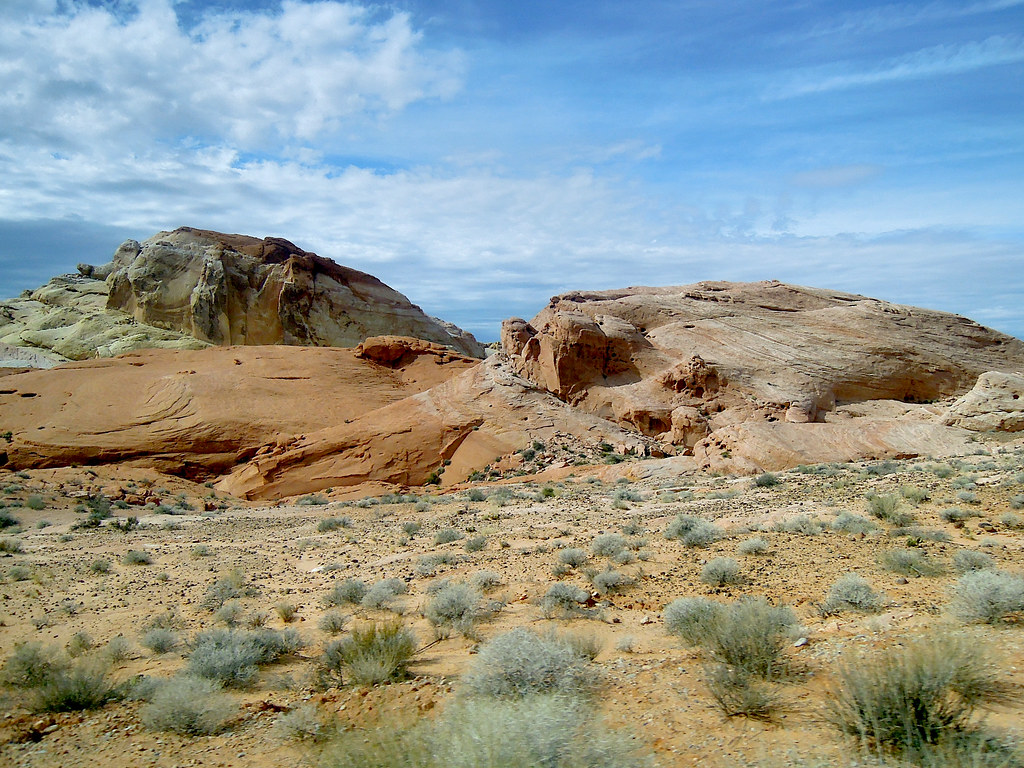 Fire Wave TrailHikingPhoto: Juhele_CZ, Public Domain Dedication (CC0) (via Flickr)2.2 mi
 Seven Wonders Alt TrailHikingPhoto: John Fowler from Placitas, NM, USA, CC BY 2.0 (via Wikimedia Commons)2.3 mi
- White Domes TrailHikingPhoto: Juhele_CZ, Public Domain Dedication (CC0) (via Flickr)2.4 mi
 White Domes RdHikingPhoto: Tony Webster, CC BY 2.0 (via Flickr)2.5 mi
- Seven Wonders TrailHikingPhoto: Tony Webster, CC BY 2.0 (via Flickr)2.5 mi
 Muddy RiverCanoeingPhoto: Bvburnes at en.wikipedia, CC BY-SA 3.0 (via Wikimedia Commons)8.7 mi
Source: Roamze catalog (indexable pages within 10 miles, PostGIS distance)
- Duck RockHiking · ~2 min drivePhoto: Juhele_CZ, Public Domain Dedication (CC0) (via Flickr)
 Prospect TrailHiking · ~11 min drivePhoto: Shaan Hurley from Portland OR, United States, CC BY 2.0 (via Wikimedia Commons)
 Old Arrowhead RdHiking · ~14 min drivePhoto: InSapphoWeTrust from Los Angeles, California, USA, CC BY-SA 2.0 (via Wikimedia Commons)
- Bitter Springs TrailHiking · ~25 min drive
- Petroglyphs near Duck RockHiking · ~2 min drivePhoto: Juhele_CZ, Public Domain Dedication (CC0) (via Flickr)
 Radio Crystal Mine TrailHiking · ~42 min drivePhoto: RuggyBearLA, CC BY 2.0 (via Flickr)
- Seven Wonders Alt TrailHiking · ~4 min drivePhoto: John Fowler from Placitas, NM, USA, CC BY 2.0 (via Wikimedia Commons)
- Bitter Springs TrailHiking · ~24 min drive
- White Domes TrailHiking · ~4 min drivePhoto: Juhele_CZ, Public Domain Dedication (CC0) (via Flickr)
- Arrowhead TrailHiking · ~30 min drive
Best time to visit Trail 1 (Main Loop)
Best months: October–April. Best months have typical highs of 55–85 °F, lows of 30 °F or warmer (32 °F where the station doesn't record snow), at most one snowy day and no more than 12 wet days.
Jan
58° / 40°
4 wet
Feb
63° / 44°
4 wet
Mar
71° / 50°
3 wet
Apr
79° / 56°
2 wet
May
89° / 65°
1 wet
Jun
100° / 76°
1 wet
Jul
105° / 82°
2 wet
Aug
104° / 80°
2 wet
Sep
96° / 73°
2 wet
Oct
83° / 60°
2 wet
Nov
68° / 48°
2 wet
Dec
57° / 39°
3 wet
Typical high / low (°F) and days with rain or snow, 1991–2020. Measured at Valley Of Fire Sp, NV, 6.2 mi away at 2,000 ft. This station doesn't record snowfall. Source: NOAA NCEI U.S. Climate Normals 1991–2020.
Map and trail data © OpenStreetMap contributors
