Loading…

Free — you'll pick up right here.
Watch this trail
Sign up to watch it — saving subscribes you to gate, closure and report changes.
Nevada
5.2 mi
Distance
960 ft
Gain
2h 13m
Time
We won't guess. Here is exactly what we do and don't know.
What we do know
Inside Humboldt-Toiyabe National Forest
2 managing-area boundaries mapped — agency alerts for them feed this page automatically.
Boundary data
What's missing
No access route mapped
We don't yet know which road reaches this trailhead, so we can't tell you if it's gated.
Nobody's filed a report here yet — be the first.
Why you'll love it
Mccurdy Creek
AI-suggested draft · review before you go
No permit or access details on file for this trail — check with the local land manager before you go.
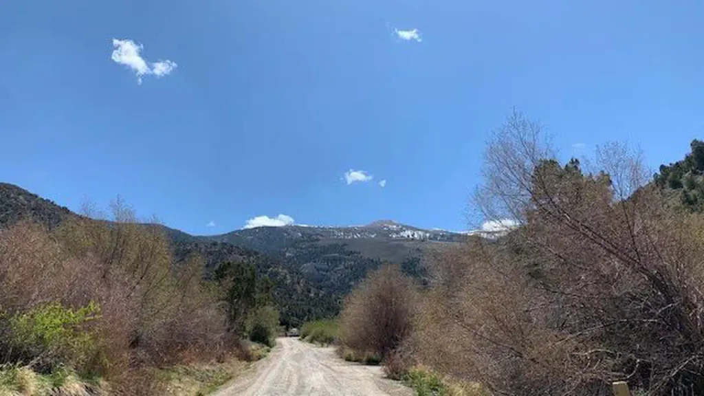
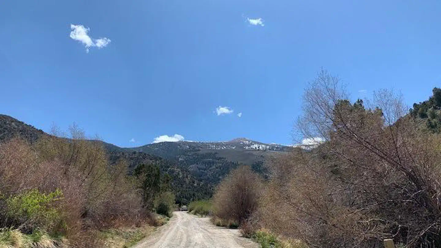
McCurdy Creek Trail is a moderate 5.2-mile out-and-back hike featuring nearly 1,000 feet of elevation gain through Nevada's scenic creek drainage. This trail offers a rewarding combination of riparian habitat and forest terrain, with the creek providing a constant companion and water source throughout much of the route. The steady climb rewards hikers with improved views and cooler temperatures as elevation increases.
South Mattier Creek
~12 min drive
Moderate 5-mile creek-side climb with 1,709 ft elevation gain.
Muncy Creek
~17 min drive
Moderate 9-mile creek-side hike with gentle elevation gain in Nevada.
North Fork Timber Creek Trail
~43 min drive
Easy creek-side walk through Nevada forest near Timber Creek.
Taft Creek
~52 min drive
A 1.60-mile out-and-back trail in Nevada.
Ranger Trail
~17 min drive
Moderate 5.82-mile Nevada trail with 597 ft elevation gain.
Ranger Trail
~30 min drive
Long-distance Nevada backcountry trail with 1,200 ft gain and expansive desert views.
Steptoe Creek Trail
~1h 11m drive
A 1.56-mile out-and-back dirt trail in Nevada that links to Cave Lake.
Taft Creek
~52 min drive
Steep 4-mile creek-side hike with 2,000 ft elevation gain.
North Fork Timber Creek
~45 min drive
Steady forest climb along North Fork Timber Creek with 1,849 ft elevation gain.
Piermont Creek
~38 min drive
Moderate 6.9-mile creek-side hike with 2,041 ft elevation gain.