Liberty Bell Arch Trail
 Photo: epredator, CC BY 2.0 (via Flickr)
- 3.4 mi
- round trip
- 157 ft
- climb
- 1,687 ft
- high point
- Out and back
- route
- Oct–Apr
- best months
Is Liberty Bell Arch Trail open right now?
Closure in the area
There's a closure order in Lake Mead National Recreation Area. It doesn't name Liberty Bell Arch Trail, so check the source for the area it covers.
Government Wash and 8.0 Mile Road Anticipated Reopening
Park closure covering Lake Mead National Recreation Area · NPS · Lake Mead National Recreation Area
River Mountains Loop Trail Covered by Flood Debris in Multiple Areas
Park alert covering Lake Mead National Recreation Area · NPS · Lake Mead National Recreation Area
Harmful Algae Bloom
Park alert covering Lake Mead National Recreation Area · NPS · Lake Mead National Recreation Area
As of · Source: NPS · Lake Mead National Recreation Area. Agencies don't list every closure — check before you go.
Liberty Bell Arch Trail is an easy hike in Lake Mead National Recreation Area, managed by the National Park Service, about 3.35 miles long with a one-way climb of 157 feet. The trail is an out-and-back, starting at a low point of about 1,285 feet and reaching a high of about 1,687 feet. Spring and fall are the most comfortable times to go. Typical averages from a nearby weather station show April highs around 81°F and October highs around 84°F, while July averages about 107°F. A fee is charged for the hike, and horses are not allowed. Several other spots sit close by. Arizona Hot Spring-White Rock Canyon is about 0.4 miles away, and the White Rock Canyon Trail is about 0.5 miles away. Ringbolt Hot Springs and White Rock Canyon, a climbing area, is about 0.5 miles away. Boone Boulders is about 2.3 miles away.
Best time to go · Oct–Apr
Best time to visit Liberty Bell Arch Trail
Best months: October–April. Best months have typical highs of 55–85 °F, lows of 30 °F or warmer (32 °F where the station doesn't record snow), at most one snowy day and no more than 12 wet days.
Jan
60° / 41°
Feb
64° / 45°
Mar
73° / 52°
Apr
81° / 59°
May
91° / 66°
Jun
103° / 77°
Jul
107° / 84°
Aug
105° / 82°
Sep
98° / 73°
Oct
84° / 59°
Nov
69° / 50°
Dec
60° / 39°
Typical high / low (°F) and days with rain or snow, 1991–2020. Measured at Alan Bible Visitor Ctr, NV, 4.7 mi away at 1,641 ft. This station doesn't record snowfall. Source: NOAA NCEI U.S. Climate Normals 1991–2020.
Keep exploring — more trails worth the drive
 Photo: cm195902, CC BY 2.0 (via Flickr)
White Rock Canyon Trail
Next door
5.98-mile out-and-back hike in Nevada's White Rock Canyon with 1,017 ft gain.
Photo: cm195902, CC BY 2.0 (via Flickr)Arizona Hot Spring-Hot Spring Canyon
~1 min drive
2.07-mile out-and-back trail in Arizona Hot Spring-Hot Spring Canyon with 272 ft gain.
 Photo: Nels_P_Olsen, CC BY-SA 2.0 (via Flickr)
Historic Railroad Trail Alternate Route
~7 min drive
2.2-mile out-and-back trail with 123 ft gain in Nevada.
HIKE
River Mountains Loop
~17 min drive
34.18-mile loop in Nevada with 2,356 ft elevation gain.
HIKE
Goldstrike Canyon
~6 min drive
Short out-and-back descent into a scenic Nevada desert canyon.
Photo: cm195902, CC BY 2.0 (via Flickr)Arizona Hot Spring-White Rock Canyon
Next door
2.81-mile out-and-back trail in Arizona with 792 ft gain.
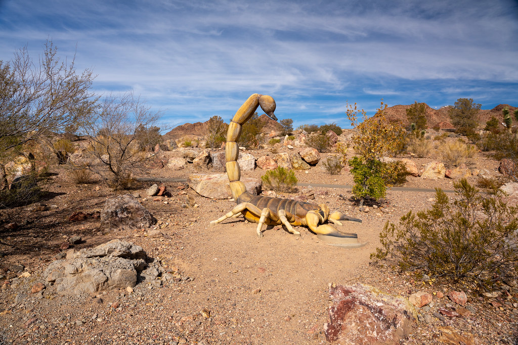 Photo: Joe K Gage, CC BY-SA 2.0 (via Flickr)
Middle Lake View
~12 min drive
1.62-mile out-and-back trail in Nevada with 334 ft elevation gain
 Photo: Capt' Gorgeous, CC BY 2.0 (via Flickr)
Historic Railroad Trail
~8 min drive
7.5-mile out-and-back trail with 645 ft gain in Nevada.
 Photo: Joe K Gage, CC BY-SA 2.0 (via Flickr)
Nature Discovery Trail
~13 min drive
0.33-mile loop trail in Nevada with 55 ft of elevation gain.
HIKE
Fortification Hill Trail
~10 min drive
2.38-mile out-and-back hike in Arizona with 1,535 ft gain/loss
Map and trail data © OpenStreetMap contributors
