Loading trail…

Free — you'll pick up right here.
Save this plan
Sign up to save your own editable copy — you'll pick up right here.
Nevada
170.9 mi
Distance
3,855 ft
Gain
58h 55m
Time
No conditions check on file for this trail yet — always verify current conditions before you go.
Why you'll love it
ADT - Nevada - S - Seg 1
AI-suggested draft · review before you go
Nevada Seg 1: Utah Line (Baker) to Preston
Baker Creek Trailhead
~18 min drive
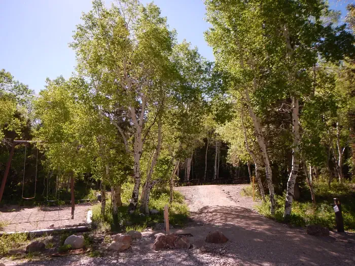
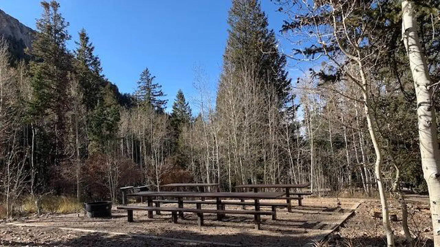
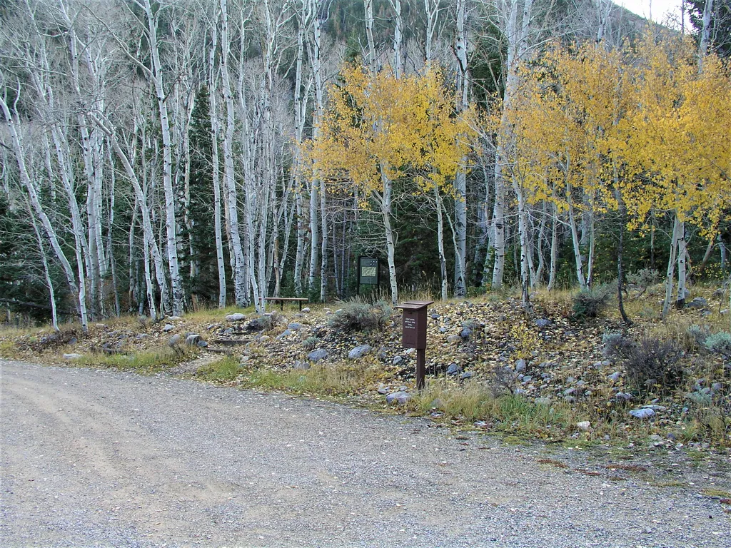
Located about three miles up the Baker Creek Road, the Baker Creek Trailhead has access to three trails; South Fork Baker trail, Timber Creek Trail, and Baker Lake. These trails venture through aspen groves and pine tree stands up to alpine lakes and meadows. Parking is limit…
Wheeler Peak
~25 min drive
Standard route to Wheeler Peak (13,065 ft) from Summit.
Sage Steppe loop trail
~27 min drive
Easy 1.2-mile loop through Nevada sagebrush steppe with minimal elevation gain.
Mine Shaft Loop
~29 min drive
Easy desert loop trail with mining history near abandoned shafts.
Hendrys Creek
~33 min drive
Expert 17.2-mile alpine trek with 4,658 ft elevation gain in remote Nevada.
Snake Creek Trailhead
~19 min drive
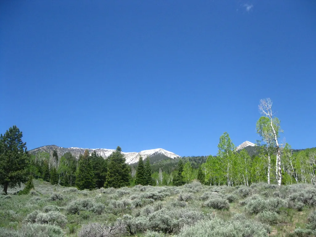
Snake Creek Trailhead is located 12 miles down the Snake Creek Road. This trailhead offers access to many different trails; Shoshone Trail, Dead Lake Trail, Johnson Lake Trail, and the ADA Shoshone Trail. These trails offer views of aspen groves, sweeping views, and mountain l…
Lucky Boy Loop
~30 min drive
Easy 1-mile loop with minimal elevation gain in Nevada high desert.
Negro Creek
~42 min drive
Moderate 8.28-mile creek trail with 1,865 ft elevation gain in Nevada.
Trail Canyon
~33 min drive
Moderate 11-mile canyon trail with 2,513 ft gain and scenic high desert views.
Summit Trailhead
~25 min drive
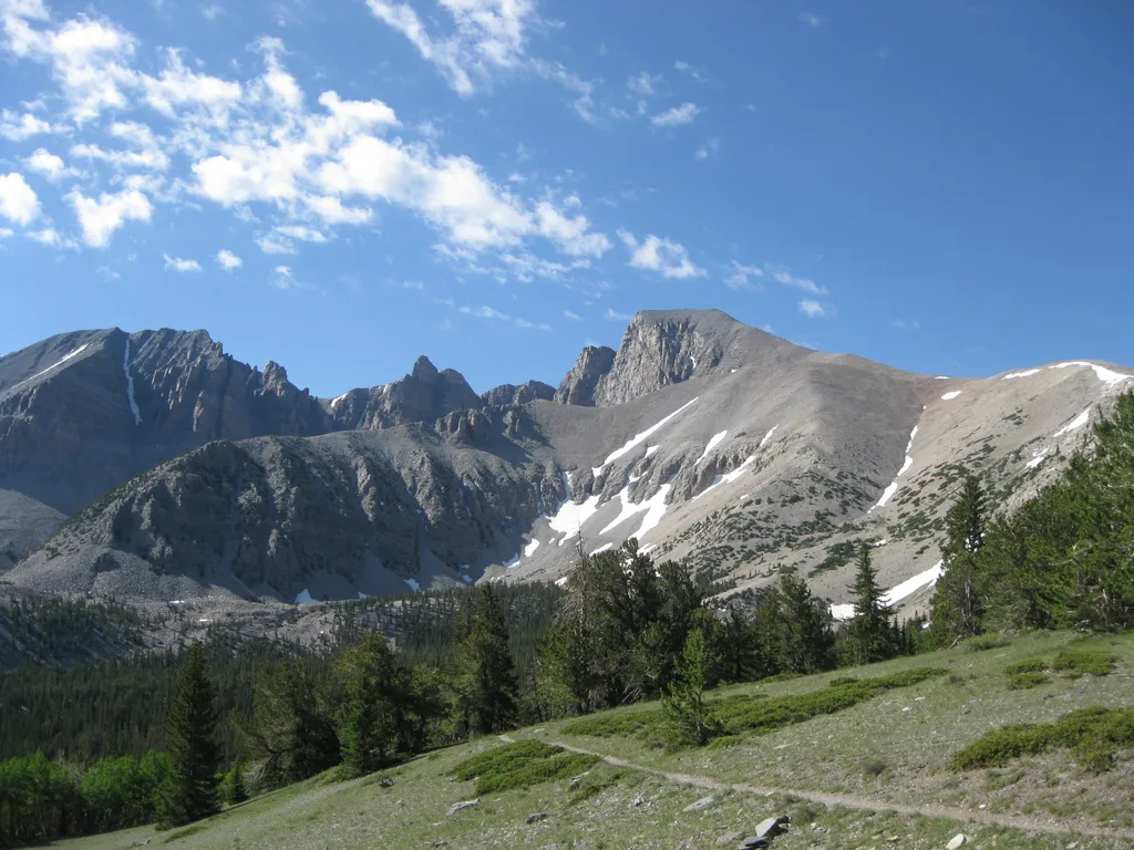
The Summit Trailhead gives access to the Wheeler Summit Trail. This trail leads to the summit of Wheeler Peak, over 4.2 miles one way. This trail is considered strenuous and hikers should be prepared for a steep and exposed hike. Thunderstorms and high winds are common. Durin…