North Fork Musselshell River
- 28.4 mi
- distance
- 5,633 ft
- high point
- May–Sep
- best months
Clear today
Weather is good · OpenWeather · checked 11 h ago
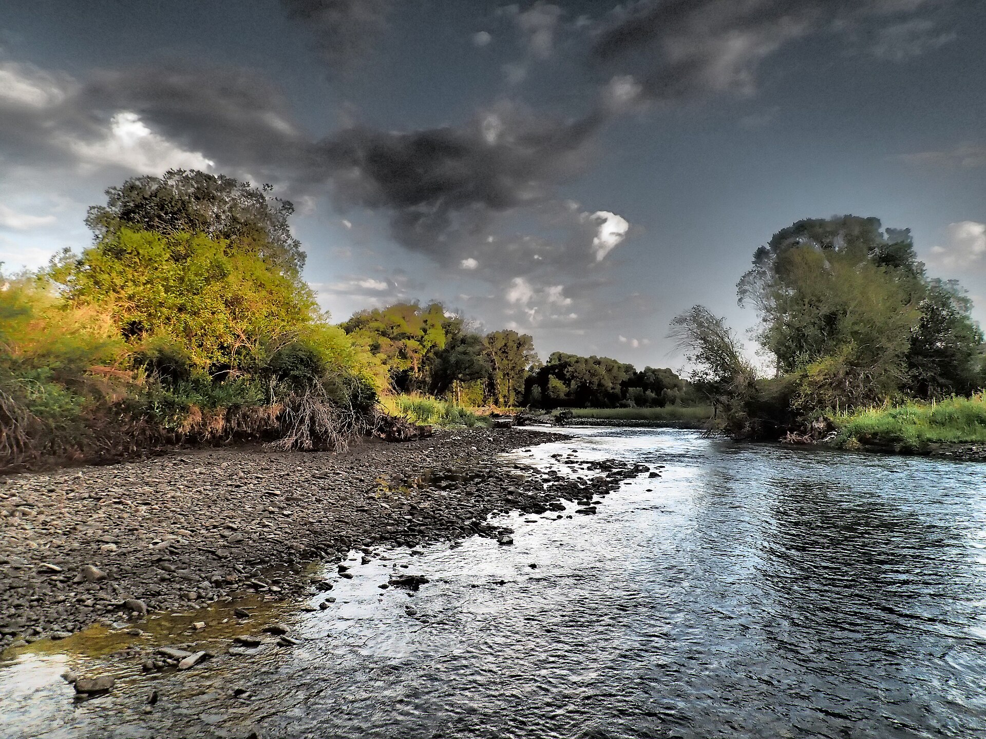
The North Fork Musselshell River is a paddling route in northern Montana, about 6 miles from the small town of Checkerboard. It is a canoeing waterway, and the South Fork Musselshell River lies about 8 miles away for paddlers looking to pair trips. Summer is the most comfortable time to get on the water. Typical averages from a nearby weather station at Martinsdale, which sits a few hundred feet lower than the river, show July and August highs around 82 to 83°F with lows in the mid-40s. September cools to a typical high near 72°F. Spring Creek campground is about 3.5 miles away, and Daisy Dean Camp Campground is about 7 miles out. The Castle Mountains climbing area is about 6 miles off, and the South Fork Musselshell River is roughly 8 miles away for paddlers who want to extend their outing.
- Spring CreekCamping3.5 mi
- Whitetail SouthHiking4.3 mi
- Whetstone SpurHiking4.7 mi
- Castle MountainsRock climbing6.3 mi
- Daisy Dean Camp CampgroundCamping6.7 mi
- East Fork Spring CreekHiking6.9 mi
- Fawn Cr.-East Fk. Spr.CrHiking7.4 mi
- South Fork Musselshell RiverCanoeing7.7 mi
Source: Roamze catalog (indexable pages within 10 miles, PostGIS distance)
 Smith RiverCanoeing · ~48 min drivePhoto: Forest Service Northern Region from Missoula, MT, USA, Public domain (via Wikimedia Commons)
- Camp Baker AccessBoat launch · ~1h 9m drive
 Shields RiverCanoeing · ~49 min drivePhoto: Mike Cline, CC BY-SA 4.0 (via Wikimedia Commons)
- Camp Baker AccessBoat launch · ~1h 9m drive
 Sixteenmile CreekCanoeing · ~60 min drivePhoto: Mike Cline, CC BY-SA 4.0 (via Wikimedia Commons)
- Crystal Lake Boat LaunchBoat launch · ~1h 21m drive
- South Fork Musselshell RiverCanoeing · ~13 min drive
- Cottonwood CreekCanoeing · ~19 min drive
- Little Elk CreekCanoeing · ~23 min drive
- North Fork Smith RiverCanoeing · ~31 min drive
Best time to visit North Fork Musselshell River
Best months: May–September. Best months have typical highs of 55–85 °F, lows of 30 °F or warmer (32 °F where the station doesn't record snow), at most one snowy day and no more than 12 wet days.
Jan
37° / 16°
4 wet
Feb
38° / 15°
4 wet
Mar
47° / 22°
5 wet
Apr
56° / 27°
7 wet
May
65° / 35°
10 wet
Jun
73° / 43°
11 wet
Jul
82° / 47°
8 wet
Aug
83° / 45°
6 wet
Sep
72° / 38°
5 wet
Oct
58° / 30°
4 wet
Nov
44° / 22°
4 wet
Dec
36° / 16°
4 wet
Typical high / low (°F) and days with rain or snow, 1991–2020. Measured at Martinsdale 3 Nnw, MT, 5.3 mi away at 4,800 ft. The station sits about 800 ft lower than this place, so expect it a little cooler here. This station doesn't record snowfall. Source: NOAA NCEI U.S. Climate Normals 1991–2020.
