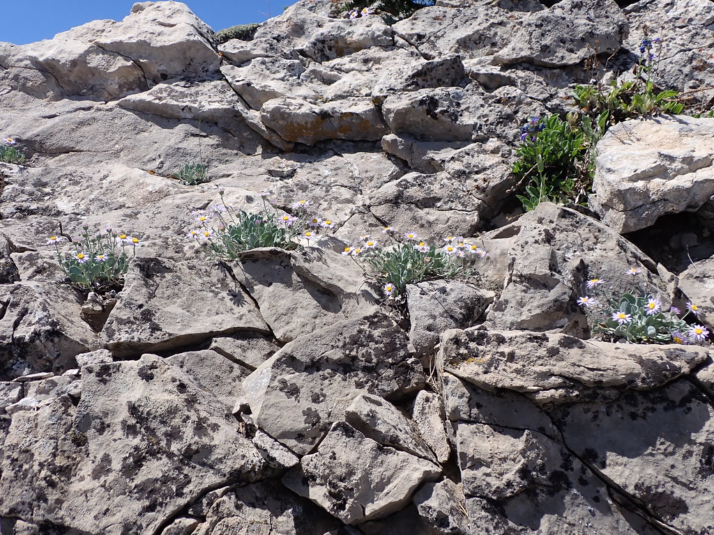
Fr977-16
Campground
Campground · < 0.1 mi from the trail
Closure in the area
There's a closure order in Bozeman Ranger District. It doesn't name Jackson Creek Trail, so check the source for the area it covers (16 listed).
Sourdough/Bozeman Creek Trailhead and Trail Closure
Agency closure covering Bozeman Ranger District · Order 01-11-06-27-02 · USFS · Bozeman Ranger District
NFSR #1700 South Plateau Road Closure
Agency closure covering Custer Gallatin National Forest · USFS · Custer Gallatin National Forest
Storm Castle Creek Trail #185 Temporarily Closed Due to Storm Damage
Agency closure covering Bozeman Ranger District · Order 01-11-06-26-07 · USFS · Bozeman Ranger District
Hyalite Porcupine Buffalo Horn Summer Interim Travel Order and Map and Order # 01-11-00-26-02
Agency closure covering Custer Gallatin National Forest · Order 01-11-00-26-02 · USFS · Custer Gallatin National Forest
Hyalite Porcupine Buffalo Horn Winter Interim Travel Order and Map Order Number: #01-11-00-26-01
Agency closure covering Custer Gallatin National Forest · USFS · Custer Gallatin National Forest
As of · Source: USFS · Bozeman Ranger District. Agencies don't list every closure — check before you go.
Jackson Creek Trail is a short, out-and-back mountain biking route in Montana's Custer Gallatin National Forest, within the Bozeman Ranger District. The Forest Service manages the land, and the trail's climb of about 165 feet over roughly 1.5 miles makes it a moderate ride. The route starts and ends at the low point of 7,290 feet, reaching a high of 7,472 feet. The steepest stretch comes early, at about 0.23 miles in, with a 17% grade. That section sets the tone for the climb, which is manageable over the short distance. Summer is the most comfortable time to ride. At a nearby weather station, typical July and August highs reach about 79°F with lows in the mid-40s, while temperatures on the trail run cooler than that station's figures because it sits well below the route's elevation. The trail sits among a network of other routes. Willow Creek North Trail is just 0.1 mile away, and Jackson Divide Trail and Jackson Divide Spur Trail are within a mile. Middle Fork Willow Creek Road is about a mile off for riders who want to extend the ride.
Fr977-16
Campground
Places © OpenStreetMap contributors
More in EmigrantBest months: May–September. Best months have typical highs of 55–85 °F, lows of 30 °F or warmer (32 °F where the station doesn't record snow), at most one snowy day and no more than 12 wet days.
Jan
33° / 14°
5 wet
Feb
34° / 13°
5 wet
Mar
42° / 20°
7 wet
Apr
49° / 26°
9 wet
May
59° / 34°
11 wet
Jun
68° / 41°
11 wet
Jul
79° / 46°
8 wet
Aug
79° / 44°
6 wet
Sep
68° / 38°
6 wet
Oct
54° / 29°
6 wet
Nov
41° / 20°
6 wet
Dec
32° / 13°
5 wet
Typical high / low (°F) and days with rain or snow, 1991–2020. Measured at Wilsall 8 Ene, MT, 23.2 mi away at 5,865 ft. The station sits about 1,600 ft lower than this place, so expect it a little cooler here. This station doesn't record snowfall. Source: NOAA NCEI U.S. Climate Normals 1991–2020.
RIDE
Jackson Divide Spur Trail
~1 min drive
0.62-mile out-and-back singletrack with 210 ft gain in Montana.
RIDE
Middle Fork Willow Creek Road
~2 min drive
1.08-mile out-and-back gravel road with 307 ft gain in Montana.
RIDE
Bangtail Divide
~4 min drive
7.46-mile out-and-back trail in Montana with 2,319 ft elevation gain.
RIDE
Willow Creek South Connector Trail
~3 min drive
0.40-mile easy singletrack out-and-back in Montana with 9 ft gain.
RIDE
Jackson Creek Trail
~2 min drive
2.49-mile out-and-back singletrack in Montana with 1,719 ft elevation gain.
RIDE
Logging Road
~12 min drive
0.72-mile easy singletrack out-and-back with 513 ft gain in Montana
RIDE
Jackson Creek Trail
~2 min drive
2.23-mile out-and-back singletrack in Montana with 1,204 ft elevation gain.
RIDE
Logging Road
~12 min drive
1.41-mile easy singletrack with 555 ft gain in Montana.
RIDE
Middle Fork Willow Creek Road
~3 min drive
0.65-mile out-and-back gravel road with 113 ft elevation gain in Montana
RIDE
Logging Road
~13 min drive
0.33-mile easy singletrack with 264 ft gain in Montana
Map and trail data © OpenStreetMap contributors