Bridger Foothills Trail
- 0.4 mi
- round trip
- 650 ft
- climb
- Singletrack
- surface
- Out and back
- route
Is Bridger Foothills Trail open right now?
Closure in the area
There's a closure order in Bozeman Ranger District. It doesn't name Bridger Foothills Trail, so check the source for the area it covers (17 listed).
Hyalite Canyon South Road Closure Order
Agency closure covering Bozeman Ranger District · Order 01-11-06-27-04 · USFS · Bozeman Ranger District
Sourdough/Bozeman Creek Trailhead and Trail Closure
Agency closure covering Bozeman Ranger District · Order 01-11-06-27-02 · USFS · Bozeman Ranger District
NFSR #1700 South Plateau Road Closure
Agency closure covering Custer Gallatin National Forest · USFS · Custer Gallatin National Forest
Storm Castle Creek Trail #185 Temporarily Closed Due to Storm Damage
Agency closure covering Bozeman Ranger District · Order 01-11-06-26-07 · USFS · Bozeman Ranger District
Hyalite Porcupine Buffalo Horn Summer Interim Travel Order and Map and Order # 01-11-00-26-02
Agency closure covering Custer Gallatin National Forest · Order 01-11-00-26-02 · USFS · Custer Gallatin National Forest
As of · Source: USFS · Bozeman Ranger District. Agencies don't list every closure — check before you go.
The Bridger Foothills Trail is a mountain biking route in the Bozeman Ranger District of Custer Gallatin National Forest in Montana, managed by the Forest Service. It is a short, steep out-and-back ride of about 0.7 miles, with a one-way climb of 588 feet and a total round-trip gain of about 650 feet. The trail starts at roughly 7,677 feet and reaches a high point of about 8,267 feet, and the steepest stretch comes within the first 0.11 miles, with a grade of about 42 percent. The trail is rated hard, and the climb is front-loaded, so the hardest part comes early. For a longer outing, Bostwick Canyon and East Bridger South are both hikes about 1.5 to 1.7 miles away. The Middle Cottonwood Trail, another mountain biking route, lies about 2.2 miles off. Climbers can head to Lower Replica, about 3.5 miles away.
- Bostwick CanyonHiking1.5 mi
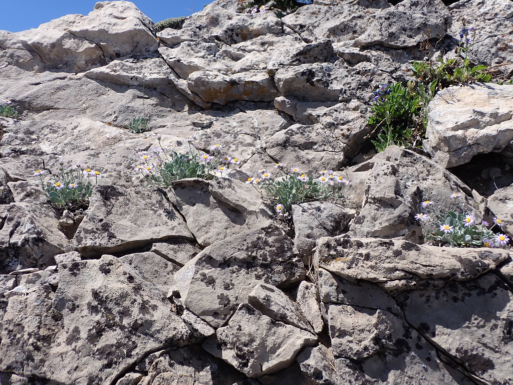 East Bridger SouthHikingPhoto: Matt Lavin, CC BY-SA 2.0 (via Flickr)1.7 mi
- Middle Cottonwood TrailMountain biking2.2 mi
- Lower ReplicaRock climbing3.5 mi
- Wolverine BowlRock climbing3.5 mi
 East Gallatin RiverCanoeingPhoto: Mike Cline, Public domain (via Wikimedia Commons)6.5 mi
- Battle Ridge CabinCamping6.6 mi
- Battle RidgeCamping7.4 mi
Source: Roamze catalog (indexable pages within 10 miles, PostGIS distance)
- Bridger Foothills TrailMountain biking · Next door
- Bridger BowlMountain biking · ~4 min drive
- South Fork Bracket Creek RoadMountain biking · ~7 min drive
- Jeep TrailMountain biking · ~9 min drive
- Bridger Foothills TrailMountain biking · ~3 min drive
- East Bridger SouthMountain biking · ~5 min drive
- Bangtail Divide TrailMountain biking · ~10 min drive
- Jeep TrailMountain biking · ~9 min drive
- Middle Cottonwood TrailMountain biking · ~4 min drive
- East Bridger NorthMountain biking · ~6 min drive
Map and trail data © OpenStreetMap contributors
