Silver Run Lakes
- 13.7 mi
- round trip
- 1,461 ft
- climb
- 10,585 ft
- high point
- Out and back
- route
Is Silver Run Lakes open right now?
Closure in the area
There's a closure order in Custer Gallatin National Forest. It doesn't name Silver Run Lakes, so check the source for the area it covers (13 listed).
NFSR #1700 South Plateau Road Closure
Agency closure covering Custer Gallatin National Forest · USFS · Custer Gallatin National Forest
Pine Grove Campground Closure
Agency closure covering Beartooth Ranger District · Order 01-11-82-26-04 · USFS · Beartooth Ranger District
Hyalite Porcupine Buffalo Horn Summer Interim Travel Order and Map and Order # 01-11-00-26-02
Agency closure covering Custer Gallatin National Forest · Order 01-11-00-26-02 · USFS · Custer Gallatin National Forest
Hyalite Porcupine Buffalo Horn Winter Interim Travel Order and Map Order Number: #01-11-00-26-01
Agency closure covering Custer Gallatin National Forest · USFS · Custer Gallatin National Forest
Glacier Lake Road #2421 Closure Order Number: # 01-11-82-26- 01
Agency closure covering Custer Gallatin National Forest · Order 01-11-82-26- · USFS · Custer Gallatin National Forest
As of · Source: USFS · Custer Gallatin National Forest. Agencies don't list every closure — check before you go.
Silver Run Lakes is a hard hike in Montana's Absaroka-Beartooth Wilderness, within the Beartooth Ranger District of the Custer Gallatin National Forest. The trail is a natural-surface out-and-back that runs about 13.7 miles round trip, starting at a low point of about 8,900 feet and climbing to a high of about 10,600 feet. The Forest Service manages the land. Horses are allowed, and bikes are not. The trip is rated hard, with an elevation gain of about 1,460 feet on the way up. The hike is open season from June 1 to September 30. For supplies, Cascade campground lies about 2.9 miles away, and Timberline Lake and Camp Senia are both within about 2.4 miles.
- Timberline LakeHiking2.2 mi
- Camp SeniaHiking2.4 mi
- CascadeCamping2.9 mi
- Beartooth RDRiver fishing3.2 mi
- BasinCamping4.4 mi
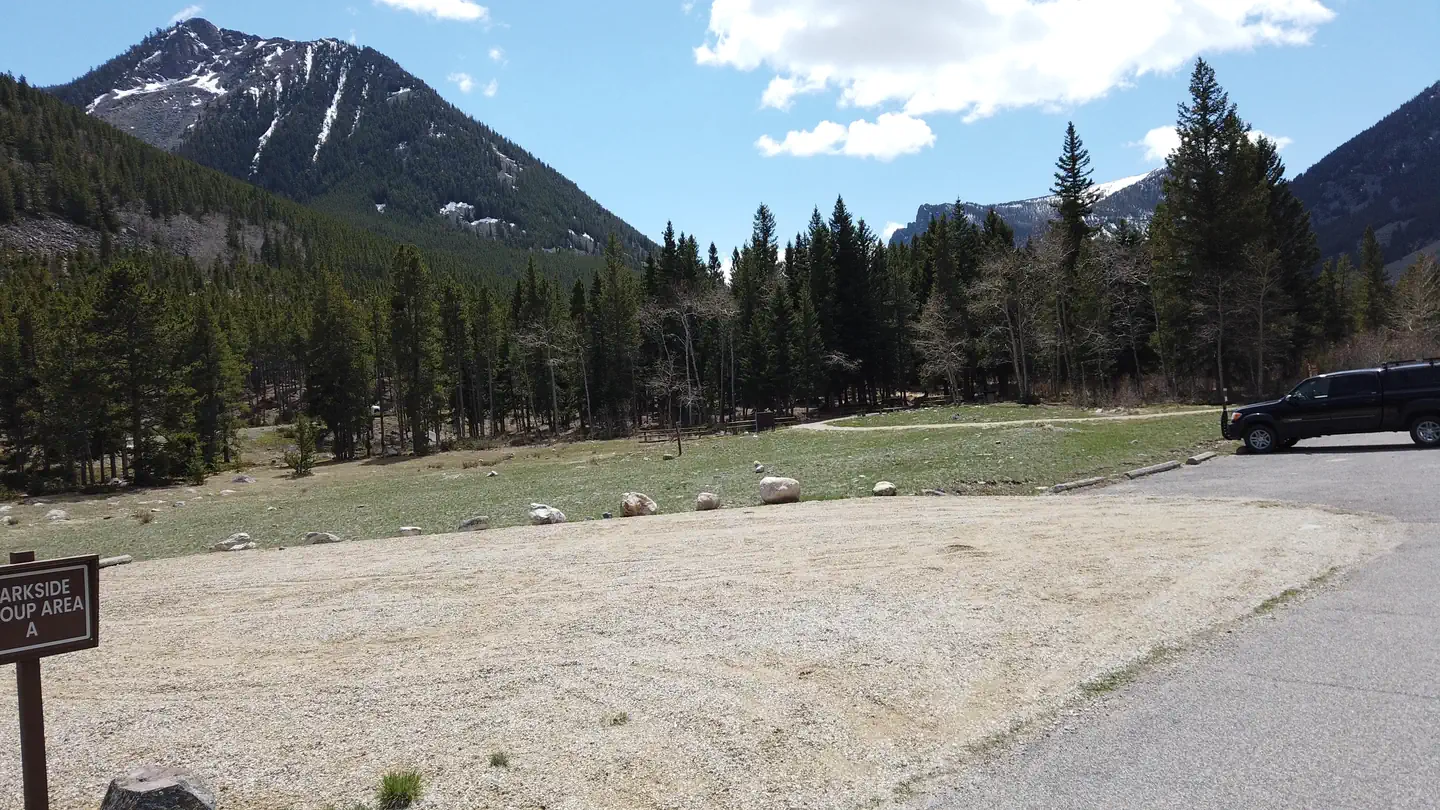 ParksideLake fishing6 mi
- Headstrong ButtressRock climbing6.5 mi
- The OvensRock climbing8.3 mi
Source: Roamze catalog (indexable pages within 10 miles, PostGIS distance)
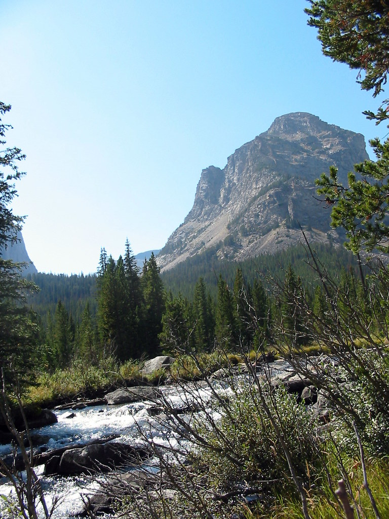 Lost LakeHiking · ~7 min drivePhoto: Stupid Dingo, CC BY 2.0 (via Flickr)
 Lake ForkHiking · ~8 min drivePhoto: Forest Service - Northern Region, Public Domain Mark (via Flickr)
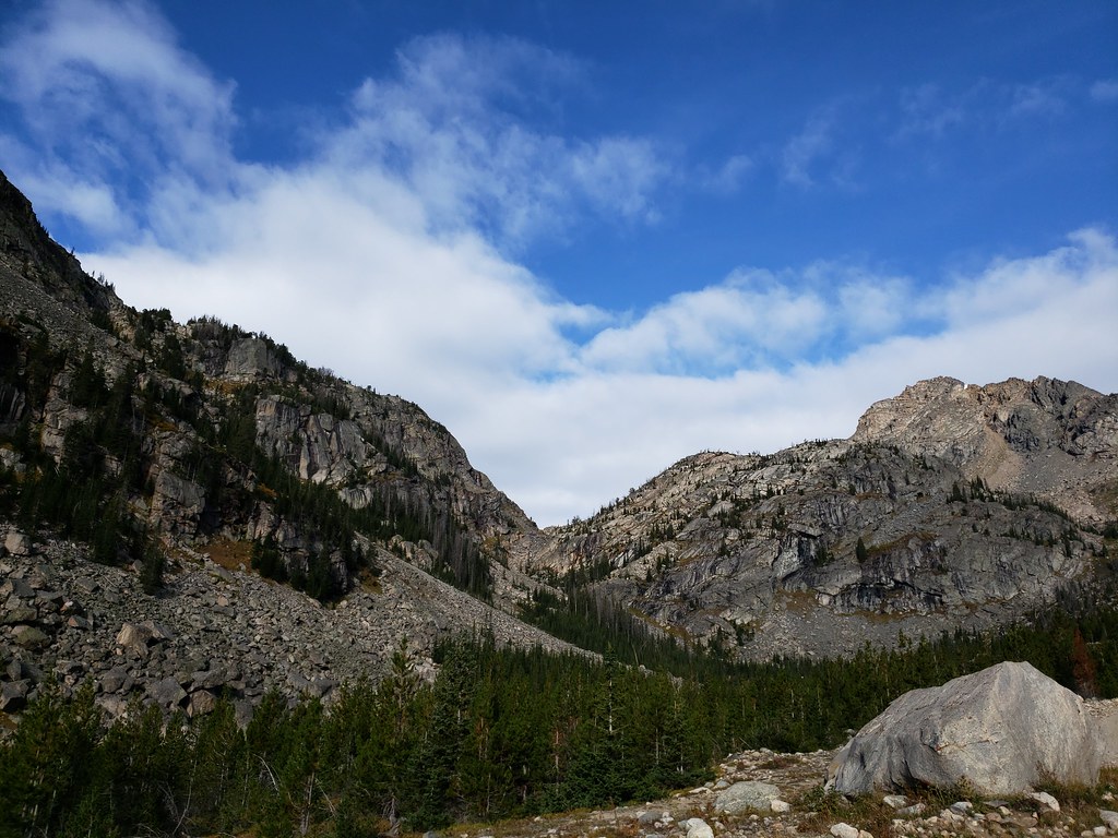 Moon Lake TrailHiking · ~15 min drivePhoto: Forest Service - Northern Region, Public Domain Mark (via Flickr)
 Keyser Brown TrailHiking · ~7 min drivePhoto: Matt Lavin, CC BY-SA 2.0 (via Flickr)
 Bear TrackHiking · ~10 min drivePhoto: Matt Lavin, CC BY-SA 2.0 (via Flickr)
- Glacier LakeHiking · ~16 min drivePhoto: Forest Service - Northern Region, Public Domain Mark (via Flickr)
 Lower Lake Fork TrailHiking · ~10 min drivePhoto: Forest Service - Northern Region, Public Domain Mark (via Flickr)
 Palisades TrailHiking · ~15 min drivePhoto: Forest Service - Northern Region, Public Domain Mark (via Flickr)
- Ingles CreekHiking · ~9 min drive
 Parkside TrailHiking · ~11 min drivePhoto: Forest Service - Northern Region, Public Domain Mark (via Flickr)
