Meeteetsee Trail
- 4.6 mi
- round trip
- 640 ft
- climb
- 4,771 ft
- high point
- Out and back
- route
- May–Sep
- best months
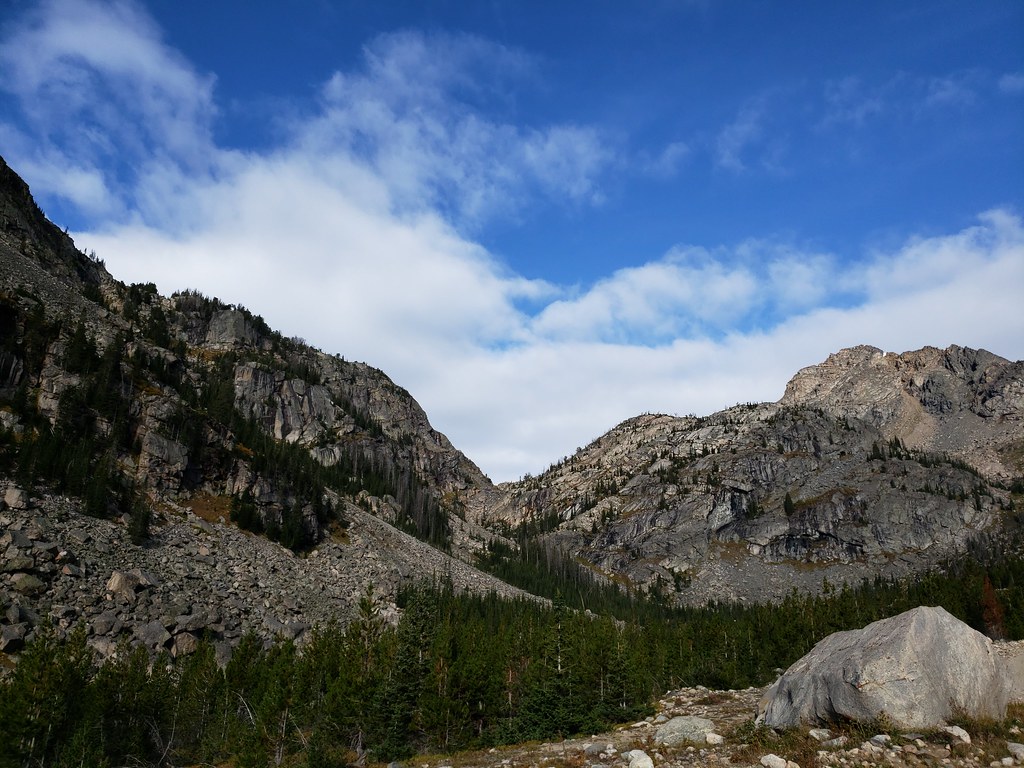
The Meeteetsee Trail is a 9.1-mile out-and-back hike in western Montana, about 4.8 miles from the town of Chance. The route starts at 4,227 feet and climbs to a high point of 4,771 feet, with a total gain of 640 feet over the course of the trip. The climb is front-loaded, with the steepest stretch at about 2.5 miles in, where the grade reaches 6 percent. The trail is rated moderate. Summer is the most comfortable time to go. Typical averages from a nearby weather station show July highs around 85°F with lows near 54°F, while winter brings highs in the upper 30s and a few snowy days each month from December through February. That station sits about 650 feet lower than the trail's high point, so temperatures on the summit run cooler. The hike takes about 3.5 hours. For more time on foot, Face-Of-The-Mountain lies about 6.4 miles away, and Robertson Draw is about 6.9 miles off. Sheridan campground is about 9 miles away, and Mount Maurice is about 8.4 miles away.
- Face-Of-The-MountainHiking6.4 mi
- West Robertson DrawHiking6.9 mi
- Robertson DrawHiking6.9 mi
- North Line CreekHiking7.8 mi
- Mount MauriceHiking8.4 mi
- SheridanCamping9 mi
- Line Creek BasinHiking9.1 mi
 RattinCampingPhoto: C. K. Hartman — CC BY 2.0 (via Flickr)9.7 mi
Source: Roamze catalog (indexable pages within 10 miles, PostGIS distance)
 Meeteetsee TrailHiking · ~5 min drivePhoto: mypubliclands, CC BY 2.0 (via Flickr)
 Palisades TrailHiking · ~20 min drivePhoto: Forest Service - Northern Region, Public Domain Mark (via Flickr)
 Glacier LakeHiking · ~33 min drivePhoto: Forest Service - Northern Region, Public Domain Mark (via Flickr)
- Nichols ConnectorHiking · ~19 min drivePhoto: Forest Service - Northern Region, Public Domain Mark (via Flickr)
 Bear TrackHiking · ~21 min drivePhoto: Matt Lavin, CC BY-SA 2.0 (via Flickr)
- Silver Run PlateauHiking · ~21 min drive
- Willow CreekHiking · ~20 min drivePhoto: Forest Service - Northern Region, Public Domain Mark (via Flickr)
 Lake ForkHiking · ~24 min drivePhoto: Forest Service - Northern Region, Public Domain Mark (via Flickr)
- Ingles CreekHiking · ~22 min drive
 Lower Lake Fork TrailHiking · ~22 min drivePhoto: Forest Service - Northern Region, Public Domain Mark (via Flickr)
Best time to visit Meeteetsee Trail
Best months: May–September. Best months have typical highs of 55–85 °F, lows of 30 °F or warmer (32 °F where the station doesn't record snow), at most one snowy day and no more than 12 wet days.
Jan
37° / 6°
3 wet · 3 snow
Feb
40° / 11°
3 wet · 3 snow
Mar
51° / 21°
4 wet · 2 snow
Apr
57° / 29°
5 wet · 1 snow
May
66° / 40°
8 wet
Jun
76° / 48°
8 wet
Jul
85° / 54°
7 wet
Aug
83° / 51°
6 wet
Sep
73° / 42°
5 wet
Oct
60° / 29°
4 wet · 1 snow
Nov
47° / 18°
3 wet · 2 snow
Dec
38° / 8°
3 wet · 3 snow
Typical high / low (°F) and days with rain or snow, 1991–2020. Measured at Clark 3ne, WY, 8.6 mi away at 4,117 ft. The station sits about 700 ft lower than this place, so expect it a little cooler here. Source: NOAA NCEI U.S. Climate Normals 1991–2020.
Map and trail data © OpenStreetMap contributors
