Loading…

Free — you'll pick up right here.
Watch this trail
Sign up to watch it — saving subscribes you to gate, closure and report changes.
Montana
5.3 mi
Distance
805 ft
Gain
2h 9m
Time
An agency closure order is in effect for this area; weather is good
2 factors · 2 sources
Newest 22 h ago · oldest 28 d
problem: Agency alerts
15 active alerts in Custer Gallatin National Forest; most severe: Lava Lake (Lee Metcalf Wilderness) Campfire Restriction
USFS28 d ago
clear: Weather
Clear, high 64°F / low 44°F, 0% precip — 99/100 for hike
OpenWeather22 h ago
Been out here in the last few days? One report keeps this current for everyone.
Why you'll love it
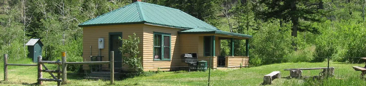
Jims Gulch
AI-suggested draft · review before you go
No permit or access details on file for this trail — check with the local land manager before you go.
Jims Gulch is a moderate 5.25-mile trail offering a pleasant half-day hike through Montana's scenic gulch terrain. With over 800 feet of elevation gain, this route provides a good workout while remaining accessible to most hikers, featuring the characteristic drainage and forest cover typical of Montana's gulch systems.
Derby Mountain
~7 min drive
Moderate 10-mile mountain hike with 1,200 ft elevation gain near Derby Mountain.
Lodgepole
~12 min drive
Forested 3.43-mile climb through lodgepole pines with nearly 1,000 ft gain.
Telegraph Creek
~13 min drive
Steep 3-mile creek-side hike with 1,115 ft gain near Telegraph Creek.
Beartrap
~9 min drive
Moderate 9.6-mile hike with 752 ft gain through Montana backcountry.
Castle Creek
~22 min drive
Moderate 11.78-mile alpine creek trail with 1,809 ft elevation gain.
Meyers Creek
~19 min drive
Short creek-side hike with steady elevation gain near Meyers Creek, Montana.
Trout Creek
~10 min drive
Moderate creek-side hike with 793 ft gain through Montana forest.
Initial Creek
~24 min drive
6.79-mile creek-side hike with steady elevation gain in Montana backcountry.
Island Lake
~32 min drive
Easy 1.44-mile hike to a scenic alpine lake in Montana.
West Fork Upper Deer Creek
~14 min drive
Remote 14.78-mile creek valley trek with 2,076 ft gain in upper Deer Creek.