Loading trail…

Free — you'll pick up right here.
Save this plan
Sign up to save your own editable copy — you'll pick up right here.
Montana
4.7 mi
Distance
26 ft
Gain
No conditions check on file for this trail yet — always verify current conditions before you go.
Why you'll love it
Historic Highway 2 West
AI-suggested draft · review before you go
No permit or access details on file for this trail — check with the local land manager before you go.
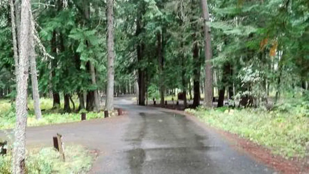
Historic Highway 2 West is a gentle, scenic walk following the historic route of US Highway 2 through western Montana. This nearly 5-mile trail offers minimal elevation gain, making it an accessible option for families and casual hikers seeking a leisurely pace through the region's landscape. The trail provides a unique perspective on Montana's transportation history while traversing relatively flat terrain.
Grambauer
~1 min drive
Challenging 13.3-mile alpine hike with nearly 5,000 ft elevation gain.
Shannon Lake
~1 min drive
Easy 1-mile walk to a scenic alpine lake with minimal elevation gain.
Kootenai Creek
~3 min drive
Steep 3.85-mile creek drainage hike with 1,900 ft elevation gain.
Williams Creek
~3 min drive
Moderate 7.35-mile creek-side climb with 3,084 ft elevation gain.
Alvord Lake
~10 min drive
Easy 2.59-mile lakeside walk with minimal elevation gain.
Bighorn
~4 min drive
Scenic 3.45-mile Bighorn hike with 630 ft elevation gain near Bighorn, Montana.
Taylor Peak
~8 min drive
Expert alpine trek to Taylor Peak with 4,483 ft gain over 18.65 miles.
North Fork Parmenter
~11 min drive
Moderate 5.25-mile climb with 2,111 ft gain in North Fork country.
Grambauer Ridge
~7 min drive
Steady ridge climb with 788 ft gain and scenic Montana vistas.
Cedar Creek
~8 min drive
Challenging 9.81-mile Montana hike with 4,005 ft elevation gain.