Loading…

Free — you'll pick up right here.
Watch this trail
Sign up to watch it — saving subscribes you to gate, closure and report changes.
Montana
2.6 mi
Distance
199 ft
Gain
58 min
Time
We won't guess. Here is exactly what we do and don't know.
What we do know
Inside Helena-Lewis and Clark National Forest
2 managing-area boundaries mapped — agency alerts for them feed this page automatically.
Boundary data
What's missing
No access route mapped
We don't yet know which road reaches this trailhead, so we can't tell you if it's gated.
Nobody's filed a report here yet — be the first.
Why you'll love it
Dry Wolf
AI-suggested draft · review before you go
No permit or access details on file for this trail — check with the local land manager before you go.
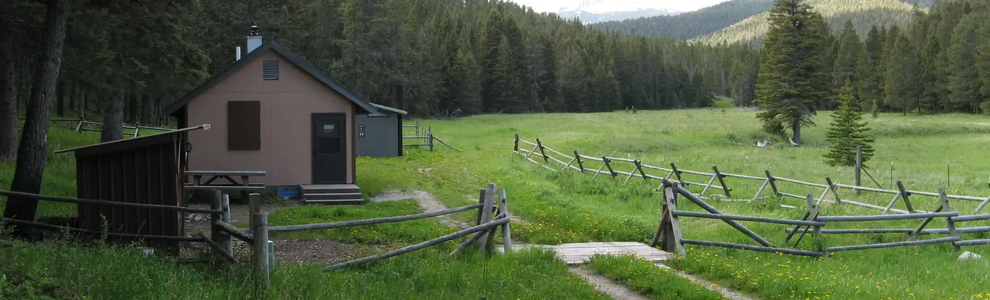
Dry Wolf is a short, accessible trail offering a gentle introduction to Montana hiking with modest elevation gain and scenic views of the surrounding landscape. The trail traverses through dry grassland and sagebrush terrain typical of central Montana, making it an ideal choice for families and those seeking a quick outdoor escape. Its proximity to the Dry Wolf area provides a peaceful setting away from heavily trafficked routes.
Lyon Falls
~3 min drive
Easy waterfall hike to Lyon Falls with minimal elevation gain.
Gibson Peak
~4 min drive
Quick 2-mile summit hike with 224 ft gain near Gibson Peak.
Morris Creek
~8 min drive
Moderate 5.3-mile creek-side climb with 1,698 ft elevation gain.
Villars Creek
~11 min drive
Easy 1.86-mile creek walk with 374 ft elevation gain.
Woodchopper Ridge
~9 min drive
Long ridge traverse with minimal elevation gain and expansive mountain views.
Anderson Peak
~12 min drive
Steep 3.7-mile summit hike with 923 ft gain near Anderson Peak.
Memorial Falls
~16 min drive
Easy waterfall hike to a scenic cascade near Memorial Falls.
Oti Creek
~11 min drive
Moderate 11.84-mile creek drainage hike with 368 ft elevation gain.
Villars-Spruce
~12 min drive
Moderate 7.5-mile forest trail with 350 ft gain near Villars-Spruce.
Cleveland Cr
~14 min drive
Moderate 13.87-mile creek drainage hike with 2,123 ft elevation gain.